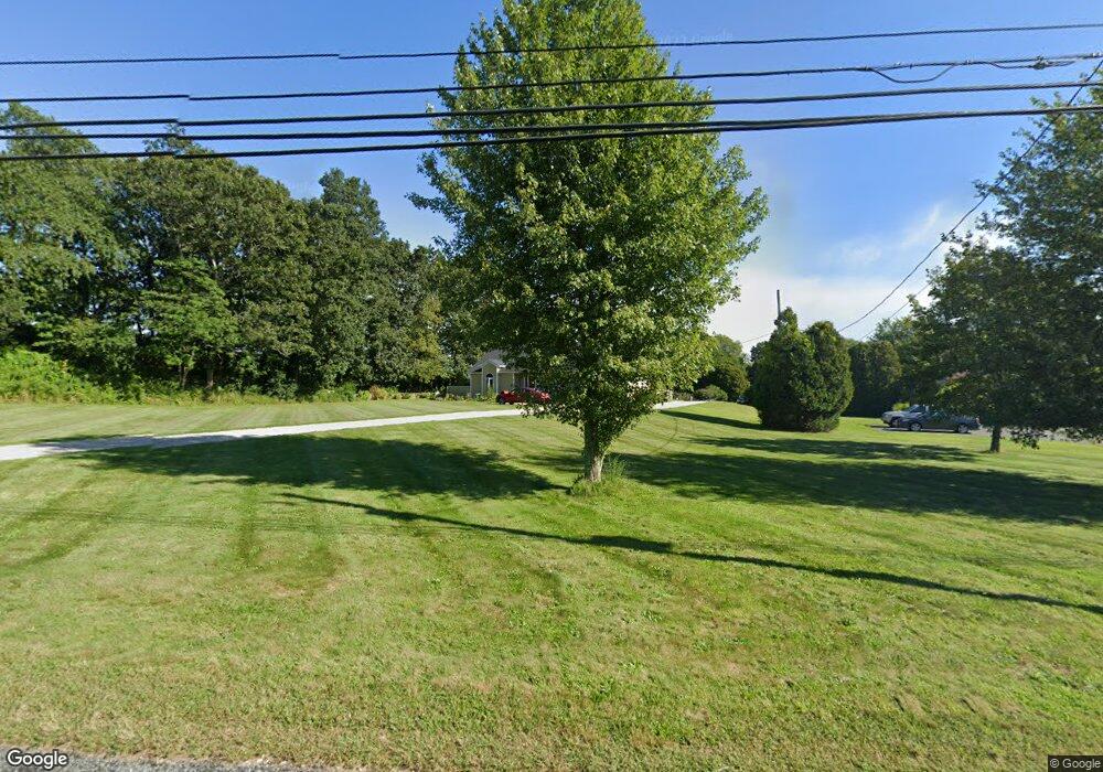
270 Adamsville Rd Westport, MA 02790
Westport Point NeighborhoodEstimated Value: $510,000 - $811,000
3
Beds
--
Bath
1,490
Sq Ft
$427/Sq Ft
Est. Value
About This Home
This home is located at 270 Adamsville Rd, Westport, MA 02790 and is currently estimated at $636,839, approximately $427 per square foot. 270 Adamsville Rd is a home located in Bristol County with nearby schools including Alice A. Macomber Primary School, Westport Elementary School, and Westport Middle-High School.
Ownership History
Date
Name
Owned For
Owner Type
Purchase Details
Closed on
Apr 13, 2005
Sold by
Carriero Edward J and Carriero Wendy M
Bought by
Carriero Edward J
Current Estimated Value
Home Financials for this Owner
Home Financials are based on the most recent Mortgage that was taken out on this home.
Original Mortgage
$253,000
Outstanding Balance
$130,559
Interest Rate
5.78%
Mortgage Type
Purchase Money Mortgage
Estimated Equity
$506,280
Purchase Details
Closed on
May 24, 1989
Sold by
Gomes Cyril J
Bought by
Carriero Edward J
Create a Home Valuation Report for This Property
The Home Valuation Report is an in-depth analysis detailing your home's value as well as a comparison with similar homes in the area
Home Values in the Area
Average Home Value in this Area
Purchase History
| Date | Buyer | Sale Price | Title Company |
|---|---|---|---|
| Carriero Edward J | -- | -- | |
| Carriero Edward J | $10,000 | -- |
Source: Public Records
Mortgage History
| Date | Status | Borrower | Loan Amount |
|---|---|---|---|
| Open | Carriero Edward J | $253,000 | |
| Previous Owner | Carriero Edward J | $120,000 | |
| Previous Owner | Carriero Edward J | $40,000 | |
| Previous Owner | Carriero Edward J | $17,000 |
Source: Public Records
Tax History Compared to Growth
Tax History
| Year | Tax Paid | Tax Assessment Tax Assessment Total Assessment is a certain percentage of the fair market value that is determined by local assessors to be the total taxable value of land and additions on the property. | Land | Improvement |
|---|---|---|---|---|
| 2025 | $3,634 | $487,800 | $182,300 | $305,500 |
| 2024 | $3,639 | $470,700 | $169,100 | $301,600 |
| 2023 | $3,538 | $433,600 | $154,200 | $279,400 |
| 2022 | $3,334 | $393,200 | $154,200 | $239,000 |
| 2021 | $3,257 | $377,900 | $140,400 | $237,500 |
| 2020 | $2,997 | $355,500 | $128,800 | $226,700 |
| 2019 | $3,037 | $367,200 | $128,800 | $238,400 |
| 2018 | $2,704 | $331,000 | $132,800 | $198,200 |
| 2017 | $2,625 | $329,300 | $135,300 | $194,000 |
| 2016 | $2,510 | $317,300 | $140,300 | $177,000 |
| 2015 | $2,363 | $298,000 | $142,800 | $155,200 |
Source: Public Records
Map
Nearby Homes
- 101 Adamsville Rd
- 17 Quail Trail
- 837 Main Road & Lot 2
- 837 Main Rd
- 8 Village Way
- 15 Village Way
- 7 Village Way
- 1346 Main Rd Unit B
- 184 Field Stone Ln
- 920 Drift Rd
- 225 Hixbridge Rd
- 978 Sodom Rd
- 116 Amy Hart Path
- 8 Strawberry Ln
- 1580 Main Rd
- 90 Two Rod Rd
- 245 John Dyer Rd
- 0 S Lake Rd Unit 73361665
- 0 S Lake Rd Unit 1382842
- 118 Charlotte White Rd
- 276 Adamsville Rd
- 304 Adamsville Rd
- 253 Adamsville Rd
- 244 Adamsville Rd
- 243 Adamsville Rd
- 237 Adamsville Rd
- 231 Adamsville Rd
- 350 Adamsville Rd
- 350 Adamsville Rd
- 224 Adamsville Rd
- 227 Adamsville Rd
- 218 Adamsville Rd
- 214 Adamsville Rd
- 206 Adamsville Rd
- - Sodom Rd
- 358 Adamsville Rd
- 1 Stony Brook Ct
- 5 Stony Brook Ct
- 381 Adamsville Rd
- 2 Stony Brook Ct