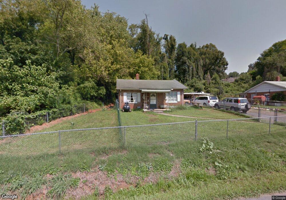
270 Asheville St Morganton, NC 28655
Estimated Value: $163,000 - $233,000
2
Beds
1
Bath
672
Sq Ft
$269/Sq Ft
Est. Value
About This Home
This home is located at 270 Asheville St, Morganton, NC 28655 and is currently estimated at $180,873, approximately $269 per square foot. 270 Asheville St is a home with nearby schools including Forest Hill Elementary School, Walter R. Johnson Middle School, and Robert L. Patton High School.
Ownership History
Date
Name
Owned For
Owner Type
Purchase Details
Closed on
Oct 30, 2023
Sold by
Jongberg Lois Daneen and Jongberg Douglas
Bought by
South Sterling Street Properties Llc
Current Estimated Value
Purchase Details
Closed on
Mar 3, 2011
Sold by
Irlbeck Robert A and Irlbeck Laura C
Bought by
Jongberg Lois Daneen
Home Financials for this Owner
Home Financials are based on the most recent Mortgage that was taken out on this home.
Original Mortgage
$58,500
Interest Rate
4.71%
Mortgage Type
New Conventional
Create a Home Valuation Report for This Property
The Home Valuation Report is an in-depth analysis detailing your home's value as well as a comparison with similar homes in the area
Home Values in the Area
Average Home Value in this Area
Purchase History
| Date | Buyer | Sale Price | Title Company |
|---|---|---|---|
| South Sterling Street Properties Llc | $170,000 | None Listed On Document | |
| Jongberg Lois Daneen | $65,000 | None Available |
Source: Public Records
Mortgage History
| Date | Status | Borrower | Loan Amount |
|---|---|---|---|
| Previous Owner | Jongberg Lois Daneen | $58,500 |
Source: Public Records
Tax History Compared to Growth
Tax History
| Year | Tax Paid | Tax Assessment Tax Assessment Total Assessment is a certain percentage of the fair market value that is determined by local assessors to be the total taxable value of land and additions on the property. | Land | Improvement |
|---|---|---|---|---|
| 2025 | $740 | $98,388 | $22,050 | $76,338 |
| 2024 | $737 | $98,388 | $22,050 | $76,338 |
| 2023 | $717 | $96,664 | $22,050 | $74,614 |
| 2022 | $630 | $67,046 | $12,250 | $54,796 |
| 2021 | $618 | $67,046 | $12,250 | $54,796 |
| 2020 | $610 | $67,046 | $12,250 | $54,796 |
| 2019 | $610 | $67,046 | $12,250 | $54,796 |
| 2018 | $610 | $67,027 | $12,250 | $54,777 |
| 2017 | $606 | $67,027 | $12,250 | $54,777 |
| 2016 | $586 | $67,027 | $12,250 | $54,777 |
| 2015 | $580 | $67,027 | $12,250 | $54,777 |
Source: Public Records
Map
Nearby Homes
- 0 Poplar Ridge Ln
- 404 Patton St
- 213 W Park Dr
- 223 W Park Dr
- 300 Patton St
- 113 Falls St
- 220 W Park Dr
- 101 Edgewood Ave
- 115 Riverside Ct
- 507 Riverside Dr
- 406 Burkemont Ave
- 410 Burkemont Ave Unit A-D
- 115 Kinwood St
- 606 Collett St
- 231 Davis Dr
- 218 Davis Dr
- 00 S Anderson St
- 244 N Anderson St
- 0 Hopewell Rd Unit CAR4310549
- 0 Burkemont Ave Unit CAR4214765
- 267 Asheville St
- 266 Asheville St
- 274 Asheville St
- 272 Asheville St
- 265 Asheville St
- 271 Asheville St
- 263 Asheville St
- 273 Asheville St
- 276 Asheville St
- 275 Asheville St
- 261 Asheville St
- 279 Asheville St
- 815 W Union St
- 813 W Union St Unit B
- 811 W Union St
- 278 Asheville St
- 260 Asheville St
- 817 W Union St
- 819 W Union St
- 280 Asheville St