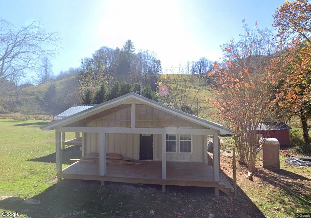
270 Caney Fork Rd Marshall, NC 28753
Estimated Value: $392,005 - $553,000
Studio
--
Bath
1,242
Sq Ft
$369/Sq Ft
Est. Value
About This Home
This home is located at 270 Caney Fork Rd, Marshall, NC 28753 and is currently estimated at $457,751, approximately $368 per square foot. 270 Caney Fork Rd is a home with nearby schools including Madison Middle School.
Ownership History
Date
Name
Owned For
Owner Type
Purchase Details
Closed on
Sep 7, 2021
Sold by
Treadway Keith A and Treadway Terry
Bought by
Oscars Infinite Holdings Inc
Current Estimated Value
Purchase Details
Closed on
Feb 4, 2021
Sold by
Surrett Reeves and Carlisle Denise
Bought by
Treadway Keith A and Treadway Terry
Purchase Details
Closed on
Jul 24, 2015
Sold by
Treadway Keith A and Treadway Terry
Bought by
Carlisle Reeves Surrett Denise and Adams Vanessa
Home Financials for this Owner
Home Financials are based on the most recent Mortgage that was taken out on this home.
Original Mortgage
$60,000
Interest Rate
4.08%
Mortgage Type
New Conventional
Create a Home Valuation Report for This Property
The Home Valuation Report is an in-depth analysis detailing your home's value as well as a comparison with similar homes in the area
Home Values in the Area
Average Home Value in this Area
Purchase History
| Date | Buyer | Sale Price | Title Company |
|---|---|---|---|
| Oscars Infinite Holdings Inc | $70,000 | None Available | |
| Treadway Keith A | $68,535 | None Available | |
| Carlisle Reeves Surrett Denise | $60,000 | None Available |
Source: Public Records
Mortgage History
| Date | Status | Borrower | Loan Amount |
|---|---|---|---|
| Previous Owner | Carlisle Reeves Surrett Denise | $60,000 |
Source: Public Records
Tax History
| Year | Tax Paid | Tax Assessment Tax Assessment Total Assessment is a certain percentage of the fair market value that is determined by local assessors to be the total taxable value of land and additions on the property. | Land | Improvement |
|---|---|---|---|---|
| 2024 | $1,535 | $376,470 | $22,165 | $354,305 |
| 2023 | $485 | $97,020 | $15,500 | $81,520 |
| 2022 | $485 | $97,020 | $15,500 | $81,520 |
| 2021 | $485 | $97,020 | $15,500 | $81,520 |
| 2020 | $485 | $97,020 | $15,500 | $81,520 |
| 2019 | $371 | $67,451 | $13,175 | $54,276 |
| 2018 | $351 | $0 | $0 | $0 |
| 2017 | $351 | $0 | $0 | $0 |
| 2016 | $351 | $0 | $0 | $0 |
| 2015 | -- | $0 | $0 | $0 |
| 2014 | -- | $67,452 | $13,175 | $54,277 |
| 2013 | -- | $67,452 | $13,175 | $54,277 |
Source: Public Records
Map
Nearby Homes
- 2381 Little Pine Rd
- 2033 Lower Paw Rd
- 23 Katies Rd Unit 145.95 acres
- 170 Starry Night Ln
- 550 Joe Payne Rd
- 356 Joe Payne Rd
- 23 Katie's Rd
- 1045 & 1047 Graham Rd
- 99999 Baileys Branch Rd
- 1231 Baileys Branch Rd Unit 3
- 99999 Secluded Valley Rd
- 456 Rector Corner Rd
- 140 Rector Corner Cir
- 1126 Rector Corner Rd
- 200 Dry Branch Rd
- 00 Crist View Dr Unit Lot 12
- 0 Anderson Cove Rd
- 99999 Meadows Town Rd
- 0000 Highland Creek Dr Unit 31
- 759 and 755 Snelson Rd
- 341 Caney Fork Rd
- 101 Garnet Ridge
- 101 Garnet Ridge
- TBD Garnet Ridge
- 520 Caney Fork Rd
- 520 Caney Fork Rd
- 3811 Little Pine Rd
- 1191 Dry Pond Rd
- 295 Garnet Ridge
- 1225 Dry Pond Rd
- 400 Garnet Ridge
- 3955 Little Pine Rd
- 155 Roberts Branch Rd
- 831 Caney Fork Rd
- 555 Dry Pond Rd
- 70 Jackie Ball Rd
- Tract 1 Robert's Branch Rd
- 354 Henry Worley Ln
- 310 Burr Rd
- 858 Dry Pond Rd
Your Personal Tour Guide
Ask me questions while you tour the home.