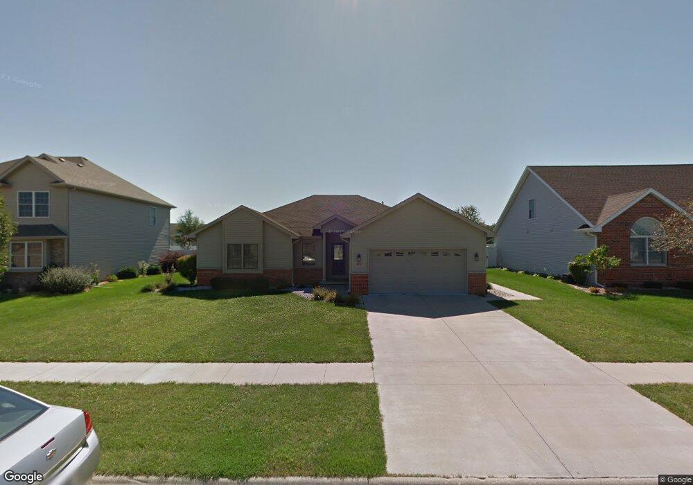
270 Center Point Dr N Bourbonnais, IL 60914
Estimated Value: $308,000 - $325,000
3
Beds
2
Baths
1,625
Sq Ft
$196/Sq Ft
Est. Value
About This Home
This home is located at 270 Center Point Dr N, Bourbonnais, IL 60914 and is currently estimated at $317,825, approximately $195 per square foot. 270 Center Point Dr N is a home located in Kankakee County with nearby schools including Noel Levasseur Elementary School, Liberty Intermediate School, and Bourbonnais Upper Grade Center.
Ownership History
Date
Name
Owned For
Owner Type
Purchase Details
Closed on
Sep 30, 2021
Sold by
Christopher Langston
Bought by
Woolman Austin and Lazzaroni Gianna
Current Estimated Value
Home Financials for this Owner
Home Financials are based on the most recent Mortgage that was taken out on this home.
Original Mortgage
$233,910
Outstanding Balance
$198,040
Interest Rate
2.88%
Mortgage Type
New Conventional
Estimated Equity
$119,785
Purchase Details
Closed on
Feb 15, 2016
Sold by
Sw Homes
Bought by
Rago Tara L
Create a Home Valuation Report for This Property
The Home Valuation Report is an in-depth analysis detailing your home's value as well as a comparison with similar homes in the area
Home Values in the Area
Average Home Value in this Area
Purchase History
| Date | Buyer | Sale Price | Title Company |
|---|---|---|---|
| Woolman Austin | $259,900 | Homestar Title | |
| Rago Tara L | -- | Standard Title |
Source: Public Records
Mortgage History
| Date | Status | Borrower | Loan Amount |
|---|---|---|---|
| Open | Woolman Austin | $233,910 |
Source: Public Records
Tax History Compared to Growth
Tax History
| Year | Tax Paid | Tax Assessment Tax Assessment Total Assessment is a certain percentage of the fair market value that is determined by local assessors to be the total taxable value of land and additions on the property. | Land | Improvement |
|---|---|---|---|---|
| 2024 | $6,900 | $89,310 | $12,030 | $77,280 |
| 2023 | $6,138 | $80,611 | $11,139 | $69,472 |
| 2022 | $5,904 | $74,868 | $10,736 | $64,132 |
| 2021 | $5,692 | $71,991 | $10,500 | $61,491 |
| 2020 | $5,635 | $70,064 | $10,219 | $59,845 |
| 2019 | $5,513 | $68,023 | $9,921 | $58,102 |
| 2018 | $5,292 | $65,350 | $9,774 | $55,576 |
| 2017 | $5,037 | $62,119 | $9,536 | $52,583 |
| 2016 | $4,899 | $60,688 | $9,395 | $51,293 |
| 2015 | $4,851 | $59,473 | $9,302 | $50,171 |
| 2014 | $5,034 | $63,785 | $9,302 | $54,483 |
| 2013 | -- | $61,844 | $9,302 | $52,542 |
Source: Public Records
Map
Nearby Homes
- 330 Centerpoint Dr S
- 1582 Mid Court Dr
- 360 Centerpoint Dr S
- 172 Anita Dr
- 197 Kristina Dr
- 360 Karen Dr
- 1515 Eagle Bluff Dr
- 22 Emery Dr
- 675 Kathy Dr
- 1459 Patriot Way
- 1613 Stefanie Ln
- 1533 Stefanie Ln
- 2082 Craftsman Ave
- 1565 Stefanie Ln
- 13 Bonds Dr
- 52 Hanson Dr
- 1293 Hartley Ave
- 7 Saint Pauls Dr
- 6 Berry Ln
- 830 Magnolia Dr
- 270 Centerpoint Dr N
- 280 Centerpoint Dr N
- 260 Centerpoint Dr N
- 290 Centerpoint Dr N
- 283 Highpoint Cir S
- 176 Center Point Dr N
- 258 Centerpoint Dr N
- 258 Center Point Dr N
- 275 Highpoint Cir S
- 291 Highpoint Cir S
- 275 Centerpoint Dr N
- 265 Centerpoint Dr N
- 285 Centerpoint Dr N
- 310 Centerpoint Dr N
- 267 Highpoint Cir S
- 240 Highpoint Cir N
- 295 Centerpoint Dr N
- 305 Centerpoint Dr S
- 259 Highpoint Cir S
- 320 Centerpoint Dr N