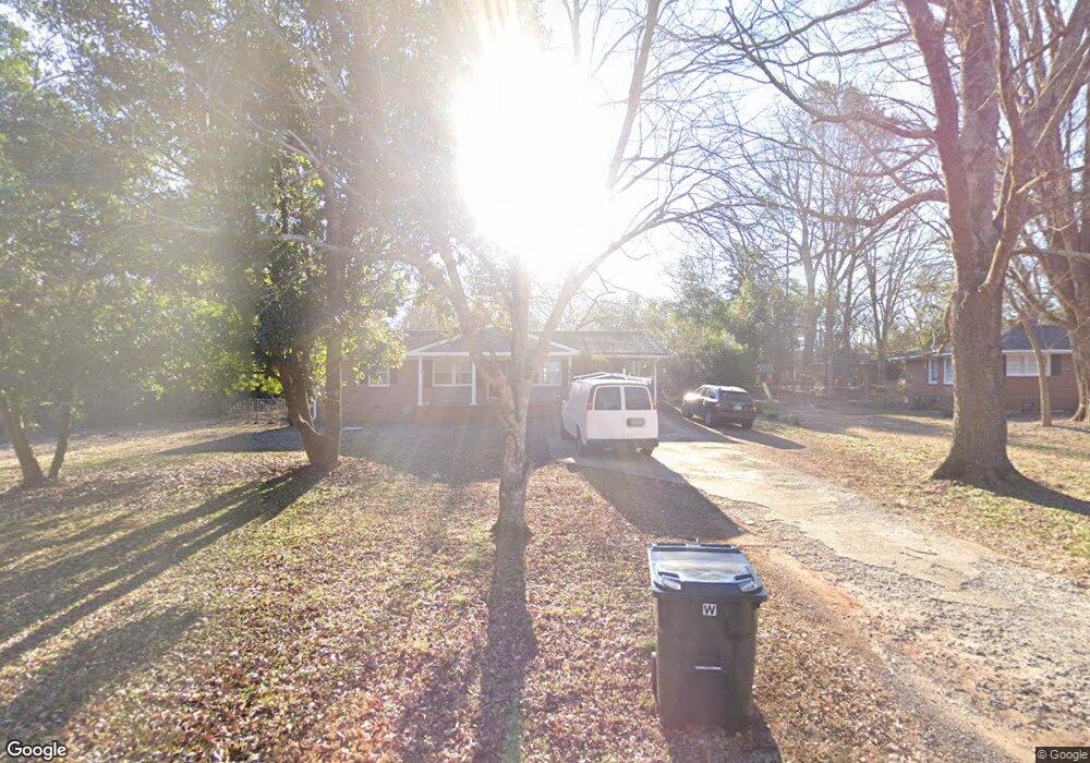
270 Clarke Dr Athens, GA 30605
Estimated Value: $247,287 - $283,000
--
Bed
--
Bath
1,266
Sq Ft
$210/Sq Ft
Est. Value
About This Home
This home is located at 270 Clarke Dr, Athens, GA 30605 and is currently estimated at $265,572, approximately $209 per square foot. 270 Clarke Dr is a home located in Clarke County with nearby schools including Barnett Shoals Elementary School, Hilsman Middle School, and Cedar Shoals High School.
Ownership History
Date
Name
Owned For
Owner Type
Purchase Details
Closed on
Mar 26, 2025
Sold by
Ts Central Properies Llc
Bought by
Ts Watkinsville Properties Llc
Current Estimated Value
Purchase Details
Closed on
Mar 29, 2016
Sold by
Goff Jonathan
Bought by
Ts Central Properties Llc
Purchase Details
Closed on
Jul 9, 2004
Sold by
Haldi Ii John E
Bought by
Goff Jonathan
Purchase Details
Closed on
Apr 30, 2003
Sold by
Mcgraw Alice E
Bought by
Haldi Ii John E
Purchase Details
Closed on
Jul 31, 2002
Sold by
Haldi John
Bought by
Mcgraw Alice E
Purchase Details
Closed on
Nov 27, 1998
Sold by
Haldi John and Dean Waite
Bought by
Haldi John
Purchase Details
Closed on
Aug 16, 1995
Sold by
Thomason Frank W and Mary Lillian
Bought by
Haldi John and Dean Waite
Purchase Details
Closed on
May 31, 1990
Sold by
Vidal Kenneth B
Bought by
Thomason Frank W and Mary Lillian
Create a Home Valuation Report for This Property
The Home Valuation Report is an in-depth analysis detailing your home's value as well as a comparison with similar homes in the area
Home Values in the Area
Average Home Value in this Area
Purchase History
| Date | Buyer | Sale Price | Title Company |
|---|---|---|---|
| Ts Watkinsville Properties Llc | -- | -- | |
| Ts Central Properties Llc | $120,000 | -- | |
| Goff Jonathan | $106,500 | -- | |
| Haldi Ii John E | $102,500 | -- | |
| Mcgraw Alice E | $102,000 | -- | |
| Haldi John | $500 | -- | |
| Haldi John | $68,800 | -- | |
| Thomason Frank W | $59,500 | -- |
Source: Public Records
Tax History Compared to Growth
Tax History
| Year | Tax Paid | Tax Assessment Tax Assessment Total Assessment is a certain percentage of the fair market value that is determined by local assessors to be the total taxable value of land and additions on the property. | Land | Improvement |
|---|---|---|---|---|
| 2025 | $3,443 | $110,874 | $12,000 | $98,874 |
| 2024 | $3,443 | $102,455 | $12,000 | $90,455 |
| 2023 | $3,202 | $94,973 | $12,000 | $82,973 |
| 2022 | $2,482 | $77,810 | $10,400 | $67,410 |
| 2021 | $2,015 | $59,801 | $10,400 | $49,401 |
| 2020 | $1,923 | $57,075 | $10,400 | $46,675 |
| 2019 | $1,854 | $54,622 | $10,400 | $44,222 |
| 2018 | $1,658 | $48,830 | $10,400 | $38,430 |
| 2017 | $1,413 | $41,606 | $10,400 | $31,206 |
| 2016 | $1,183 | $34,833 | $10,400 | $24,433 |
| 2015 | $1,236 | $36,348 | $10,400 | $25,948 |
| 2014 | $1,250 | $36,704 | $10,400 | $26,304 |
Source: Public Records
Map
Nearby Homes
- 211 Stonecrest Ct
- 430 Forest Rd
- 170 Brookwood Dr
- 352 Greencrest Dr
- 354 Greencrest Dr
- 135 Wakefield Dr
- 157 Wakefield Trace
- 148 Warren Way
- 400 Greencrest Dr
- 0 Barnett Shoals Rd Unit Lot 2
- 0 Barnett Shoals Rd Unit Lot 1
- 171 Birch Valley Dr
- 140 Whitehall Rd
- 150 Greenwood Ln
- 400 Ansley Dr
- 119 Pine Ridge Trace
- 280 Clarke Dr
- 260 Clarke Dr
- 215 Brentwood Dr
- 225 Brentwood Dr
- 245 Brentwood Dr
- 199 Brentwood Dr
- 204 Clarke Dr
- 290 Clarke Dr
- 250 Clarke Dr
- 265 Clarke Dr
- 275 Clarke Dr
- 265 Brentwood Dr
- 285 Clarke Dr
- 185 Brentwood Dr
- 245 Clarke Dr
- 240 Clarke Dr
- 120 Rumson Rd
- 175 Brentwood Dr
- 235 Clarke Dr
- 150 Rumson Rd