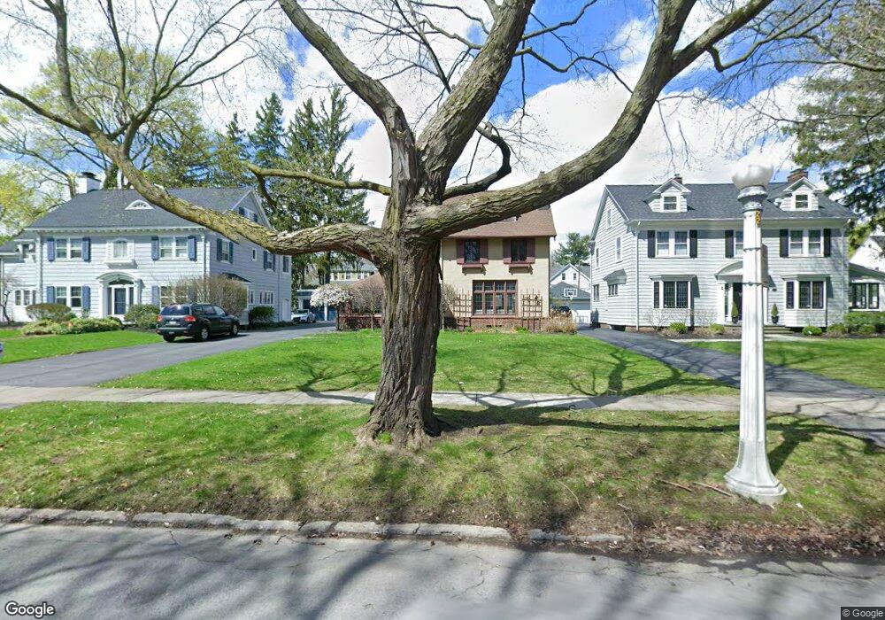
270 Dorchester Rd Rochester, NY 14610
Browncroft NeighborhoodEstimated Value: $478,000 - $644,000
3
Beds
4
Baths
2,568
Sq Ft
$216/Sq Ft
Est. Value
About This Home
This home is located at 270 Dorchester Rd, Rochester, NY 14610 and is currently estimated at $554,811, approximately $216 per square foot. 270 Dorchester Rd is a home located in Monroe County with nearby schools including Charles Carroll School No. 46, John James Audubon School No. 33, and School 25 Nathaniel Hawthorne.
Ownership History
Date
Name
Owned For
Owner Type
Purchase Details
Closed on
May 24, 2021
Sold by
Peck Daniel L
Bought by
Mackenzie Samuel J and Gingerich Natalie
Current Estimated Value
Home Financials for this Owner
Home Financials are based on the most recent Mortgage that was taken out on this home.
Original Mortgage
$344,000
Outstanding Balance
$259,458
Interest Rate
2.9%
Mortgage Type
New Conventional
Estimated Equity
$295,353
Purchase Details
Closed on
Oct 13, 2004
Sold by
Peck Daniel L and Peck Eve
Bought by
Peck Daniel L
Create a Home Valuation Report for This Property
The Home Valuation Report is an in-depth analysis detailing your home's value as well as a comparison with similar homes in the area
Home Values in the Area
Average Home Value in this Area
Purchase History
| Date | Buyer | Sale Price | Title Company |
|---|---|---|---|
| Mackenzie Samuel J | $430,000 | None Available | |
| Peck Daniel L | -- | -- |
Source: Public Records
Mortgage History
| Date | Status | Borrower | Loan Amount |
|---|---|---|---|
| Open | Mackenzie Samuel J | $344,000 |
Source: Public Records
Tax History Compared to Growth
Tax History
| Year | Tax Paid | Tax Assessment Tax Assessment Total Assessment is a certain percentage of the fair market value that is determined by local assessors to be the total taxable value of land and additions on the property. | Land | Improvement |
|---|---|---|---|---|
| 2024 | $3,714 | $423,800 | $20,000 | $403,800 |
| 2023 | $3,281 | $288,900 | $17,400 | $271,500 |
| 2022 | $3,387 | $288,900 | $17,400 | $271,500 |
| 2021 | $3,395 | $288,900 | $17,400 | $271,500 |
| 2020 | $3,324 | $288,900 | $17,400 | $271,500 |
| 2019 | $3,154 | $260,000 | $17,400 | $242,600 |
| 2018 | $5,286 | $260,000 | $17,400 | $242,600 |
| 2017 | $0 | $260,000 | $17,400 | $242,600 |
| 2016 | $3,154 | $260,000 | $17,400 | $242,600 |
| 2015 | $5,196 | $244,000 | $17,400 | $226,600 |
| 2014 | $5,196 | $244,000 | $17,400 | $226,600 |
Source: Public Records
Map
Nearby Homes
- 75 Windemere Rd
- 183 Corwin Rd
- 153 Fairhaven Rd
- 182 Arbordale Ave
- 70 Lanark Crescent
- 262 Beresford Rd
- 33 Elm Dr
- 48 Arbordale Ave
- 35 Drexmore Rd
- 133 Royleston Rd
- 39 Wendover Rd
- 176 Middlesex Rd
- 103 Marion St
- 50 Brookfield Rd
- 43 Fairfax Rd
- 96 Middlesex Rd
- 1066 N Winton Rd
- 50 Blossom Cir E
- 110 Hampden Rd
- 1736 Blossom Rd
- 276 Dorchester Rd
- 260 Dorchester Rd
- 145 Windemere Rd
- 242 Dorchester Rd
- 135 Windemere Rd
- 153 Windemere Rd
- 279 Newcastle Rd
- 291 Newcastle Rd
- 125 Windemere Rd
- 267 Dorchester Rd
- 238 Dorchester Rd
- 273 Dorchester Rd
- 261 Dorchester Rd
- 165 Windemere Rd
- 253 Dorchester Rd
- 115 Windemere Rd
- 285 Dorchester Rd
- 228 Dorchester Rd
- 105 Windemere Rd
- 225 Newcastle Rd