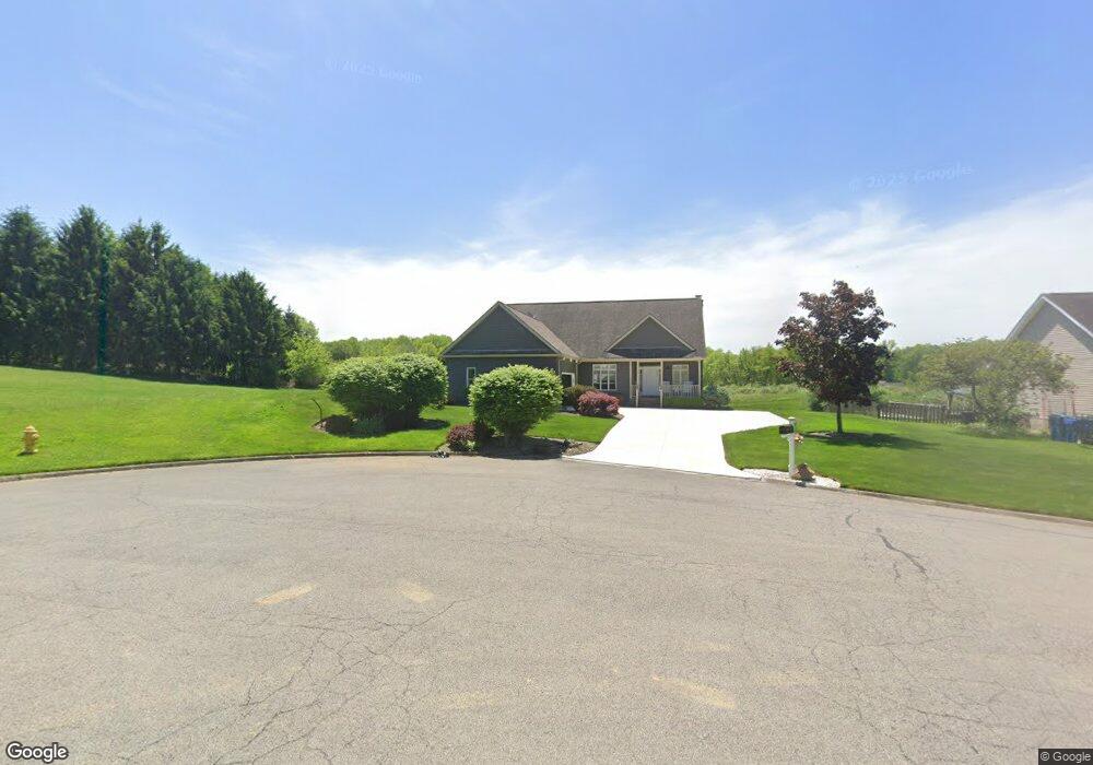
270 Dornoch St Cortland, OH 44410
Estimated Value: $347,164 - $378,000
3
Beds
3
Baths
1,597
Sq Ft
$228/Sq Ft
Est. Value
About This Home
This home is located at 270 Dornoch St, Cortland, OH 44410 and is currently estimated at $364,541, approximately $228 per square foot. 270 Dornoch St is a home located in Trumbull County with nearby schools including Currie Elementary School, Baker Elementary School, and Mathews High School.
Ownership History
Date
Name
Owned For
Owner Type
Purchase Details
Closed on
Apr 30, 2024
Sold by
Herron Brian and Jarusiewicz Walter J
Bought by
Jarusiewicz Walter J and Peterson Nanette
Current Estimated Value
Purchase Details
Closed on
Mar 13, 2007
Sold by
Hayman Harvey H
Bought by
Jarusiewicz Walter J
Home Financials for this Owner
Home Financials are based on the most recent Mortgage that was taken out on this home.
Original Mortgage
$98,000
Interest Rate
6.28%
Mortgage Type
Purchase Money Mortgage
Purchase Details
Closed on
Mar 9, 2007
Sold by
Hayman Harvey H
Bought by
Jarusiewicz Walter J
Home Financials for this Owner
Home Financials are based on the most recent Mortgage that was taken out on this home.
Original Mortgage
$98,000
Interest Rate
6.28%
Mortgage Type
Purchase Money Mortgage
Create a Home Valuation Report for This Property
The Home Valuation Report is an in-depth analysis detailing your home's value as well as a comparison with similar homes in the area
Home Values in the Area
Average Home Value in this Area
Purchase History
| Date | Buyer | Sale Price | Title Company |
|---|---|---|---|
| Jarusiewicz Walter J | -- | None Listed On Document | |
| Jarusiewicz Walter J | $196,000 | None Available | |
| Jarusiewicz Walter J | $196,000 | None Available |
Source: Public Records
Mortgage History
| Date | Status | Borrower | Loan Amount |
|---|---|---|---|
| Previous Owner | Jarusiewicz Walter J | $98,000 | |
| Previous Owner | Jarusiewicz Walter J | $98,000 |
Source: Public Records
Tax History Compared to Growth
Tax History
| Year | Tax Paid | Tax Assessment Tax Assessment Total Assessment is a certain percentage of the fair market value that is determined by local assessors to be the total taxable value of land and additions on the property. | Land | Improvement |
|---|---|---|---|---|
| 2024 | $4,159 | $96,360 | $12,250 | $84,110 |
| 2023 | $4,159 | $96,360 | $12,250 | $84,110 |
| 2022 | $4,334 | $80,080 | $12,250 | $67,830 |
| 2021 | $4,345 | $80,080 | $12,250 | $67,830 |
| 2020 | $4,358 | $80,080 | $12,250 | $67,830 |
| 2019 | $3,984 | $71,230 | $12,250 | $58,980 |
| 2018 | $3,955 | $71,230 | $12,250 | $58,980 |
| 2017 | $3,944 | $71,230 | $12,250 | $58,980 |
| 2016 | $3,807 | $67,340 | $15,750 | $51,590 |
| 2015 | $3,777 | $67,340 | $15,750 | $51,590 |
| 2014 | $3,600 | $67,340 | $15,750 | $51,590 |
| 2013 | $4,153 | $67,340 | $15,750 | $51,590 |
Source: Public Records
Map
Nearby Homes
- 0 St Andrews Unit 5113795
- 160 Saint Andrews
- 428 Cherry Hill Ln
- 121 Fairway Dr
- 404 Cherry Hill Ln
- 525 Sycamore Trail
- 507 Tournament Trail
- 124 Saint Andrews
- 400 Tournament Trail Unit 400
- 4400 Ridge Rd
- 155 Heritage Ln
- 278 Rosewae Ave
- 101 Elizabeth Ct
- 0 N High St
- 20 Harneds Landing Unit 20
- 408 S Colonial Dr
- 151 Cedar Cir
- 163 N Mecca St Unit 167
- 105 Diamond Way Unit 105
- 3804 Ridge Rd