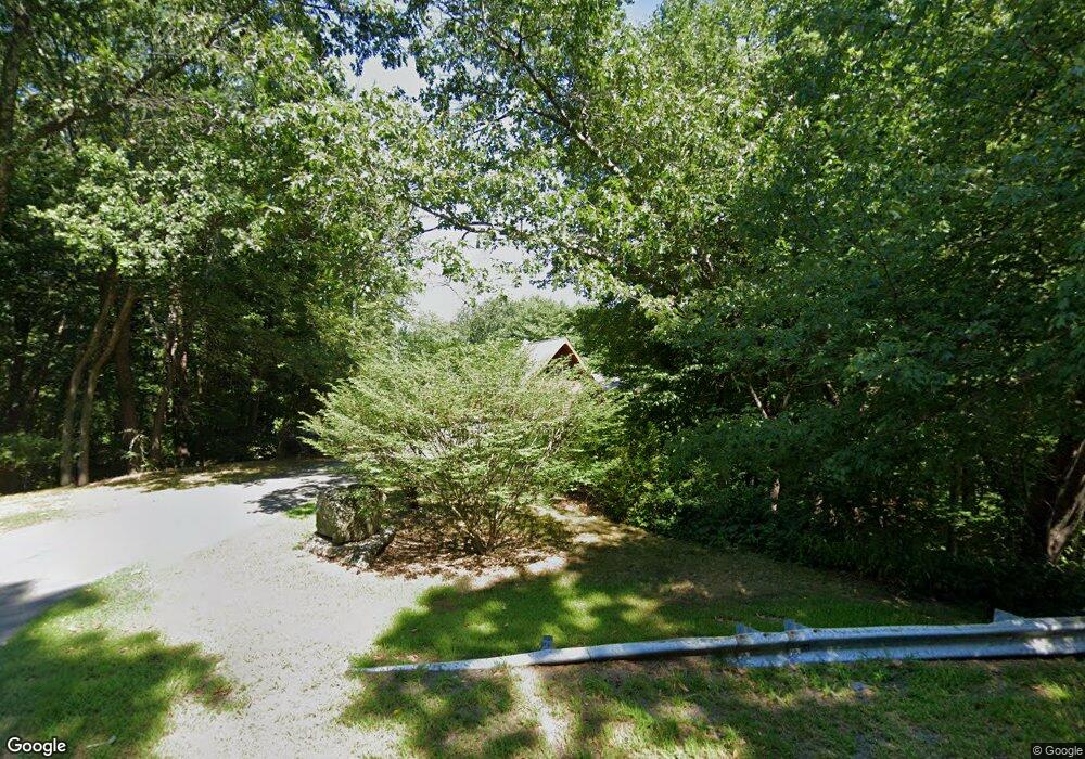
270 E Main St Westborough, MA 01581
Estimated Value: $647,700 - $710,000
1
Bed
1
Bath
1,768
Sq Ft
$378/Sq Ft
Est. Value
About This Home
This home is located at 270 E Main St, Westborough, MA 01581 and is currently estimated at $668,175, approximately $377 per square foot. 270 E Main St is a home located in Worcester County with nearby schools including Westborough High School, Advanced Math & Science Academy, and Westboro Knowledge Beginnings.
Ownership History
Date
Name
Owned For
Owner Type
Purchase Details
Closed on
Apr 29, 1975
Bought by
Roche James T and Roche Joyce
Current Estimated Value
Create a Home Valuation Report for This Property
The Home Valuation Report is an in-depth analysis detailing your home's value as well as a comparison with similar homes in the area
Home Values in the Area
Average Home Value in this Area
Purchase History
| Date | Buyer | Sale Price | Title Company |
|---|---|---|---|
| Roche James T | $45,000 | -- |
Source: Public Records
Mortgage History
| Date | Status | Borrower | Loan Amount |
|---|---|---|---|
| Open | Roche James T | $100,000 | |
| Closed | Roche James T | $100,000 | |
| Closed | Roche James T | $55,000 |
Source: Public Records
Tax History Compared to Growth
Tax History
| Year | Tax Paid | Tax Assessment Tax Assessment Total Assessment is a certain percentage of the fair market value that is determined by local assessors to be the total taxable value of land and additions on the property. | Land | Improvement |
|---|---|---|---|---|
| 2025 | $9,367 | $575,000 | $332,100 | $242,900 |
| 2024 | $9,055 | $551,800 | $308,900 | $242,900 |
| 2023 | $8,536 | $506,900 | $292,800 | $214,100 |
| 2022 | $7,751 | $419,200 | $232,700 | $186,500 |
| 2021 | $7,301 | $393,800 | $207,300 | $186,500 |
| 2020 | $7,370 | $402,300 | $215,800 | $186,500 |
| 2019 | $7,515 | $410,000 | $215,800 | $194,200 |
| 2018 | $6,900 | $373,800 | $201,000 | $172,800 |
| 2017 | $6,654 | $373,800 | $201,000 | $172,800 |
| 2016 | $6,223 | $350,200 | $190,400 | $159,800 |
| 2015 | $6,096 | $327,900 | $190,400 | $137,500 |
Source: Public Records
Map
Nearby Homes
- 14 High St
- 6 Walker St
- 8 Samuel Harrington Rd
- 15 Lovers Ln
- 14 Lovers Ln
- 38 Haskell St
- 6 Eastbrook Farm Ln
- 11302 Peters Farm Way Unit 11302
- 3112 Peters Farm Way Unit 112
- 11312 Peters Farm Way Unit 11312
- 3103 Peters Farm Way Unit 3103
- 3102 Peters Farm Way Unit 102
- 1302 Codman Way Unit 1302
- 12208 Peters Farm Way Unit 12208
- 12302 Peters Farm Way Unit 302
- 2 Talbot Way Unit 2103
- 11101 Peters Farm Way Unit 101
- 3 Peters Farm Way Unit 210
- Ivywood Plan at Chauncy Lake
- Lincoln Plan at Chauncy Lake
- 268 E Main St
- 247 E Main St
- 272 E Main St
- 245 E Main St
- 266 E Main St
- 276 E Main St
- 1 Pardee Farm Way
- 264 E Main St
- 00 Main St
- 241 E Main St Unit E
- 241 E Main St Unit D
- 241 E Main St Unit C
- 241 E Main St Unit B
- 241 E Main St Unit A
- 262 E Main St
- 209 Main St
- 200 Main St
- 3 Doherty Rd
- 5 Doherty Rd
- 2 Pardee Farm Way
