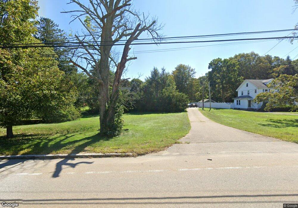
270 East St Wrentham, MA 02093
Estimated Value: $762,000 - $908,000
3
Beds
3
Baths
1,942
Sq Ft
$422/Sq Ft
Est. Value
About This Home
This home is located at 270 East St, Wrentham, MA 02093 and is currently estimated at $819,652, approximately $422 per square foot. 270 East St is a home located in Norfolk County with nearby schools including Delaney Elementary School, Charles E Roderick, and Foxborough Regional Charter School.
Ownership History
Date
Name
Owned For
Owner Type
Purchase Details
Closed on
Dec 29, 1995
Sold by
Boulter Bros Constr
Bought by
Mcelroy James D and Mcelroy Deborah A
Current Estimated Value
Home Financials for this Owner
Home Financials are based on the most recent Mortgage that was taken out on this home.
Original Mortgage
$195,000
Interest Rate
7.33%
Mortgage Type
Purchase Money Mortgage
Purchase Details
Closed on
Aug 17, 1995
Sold by
Evergreen Rt
Bought by
Boulter Bros Constr
Home Financials for this Owner
Home Financials are based on the most recent Mortgage that was taken out on this home.
Original Mortgage
$192,000
Interest Rate
7.61%
Mortgage Type
Purchase Money Mortgage
Create a Home Valuation Report for This Property
The Home Valuation Report is an in-depth analysis detailing your home's value as well as a comparison with similar homes in the area
Home Values in the Area
Average Home Value in this Area
Purchase History
| Date | Buyer | Sale Price | Title Company |
|---|---|---|---|
| Mcelroy James D | $244,217 | -- | |
| Boulter Bros Constr | $80,000 | -- |
Source: Public Records
Mortgage History
| Date | Status | Borrower | Loan Amount |
|---|---|---|---|
| Open | Boulter Bros Constr | $197,000 | |
| Closed | Boulter Bros Constr | $195,000 | |
| Previous Owner | Boulter Bros Constr | $192,000 |
Source: Public Records
Tax History Compared to Growth
Tax History
| Year | Tax Paid | Tax Assessment Tax Assessment Total Assessment is a certain percentage of the fair market value that is determined by local assessors to be the total taxable value of land and additions on the property. | Land | Improvement |
|---|---|---|---|---|
| 2025 | $8,395 | $724,300 | $279,300 | $445,000 |
| 2024 | $7,966 | $663,800 | $279,300 | $384,500 |
| 2023 | $7,846 | $621,700 | $254,400 | $367,300 |
| 2022 | $7,457 | $545,500 | $229,500 | $316,000 |
| 2021 | $7,118 | $505,900 | $205,700 | $300,200 |
| 2020 | $7,525 | $528,100 | $188,200 | $339,900 |
| 2019 | $6,977 | $494,100 | $171,600 | $322,500 |
| 2018 | $6,358 | $446,500 | $171,800 | $274,700 |
| 2017 | $6,186 | $434,100 | $168,500 | $265,600 |
| 2016 | $6,099 | $427,100 | $163,600 | $263,500 |
| 2015 | $6,079 | $405,800 | $157,300 | $248,500 |
| 2014 | $6,021 | $393,300 | $151,300 | $242,000 |
Source: Public Records
Map
Nearby Homes
- 362 East St
- 1 Lorraine Metcalf Dr
- 10 Nature View Dr
- 15 Nature View Dr
- 270 Dedham St
- 319 Taunton St
- 65 Pond St
- 120 Hawes St
- 483 Thurston St
- 131 Creek St Unit 7
- 11 Earle Stewart Ln
- Lot 3 - 14 Earle Stewart Ln
- Lot 1 - Blueberry 2 Car Plan at King Philip Estates
- Lot 8 - Blueberry 2 Car Plan at King Philip Estates
- Lot 6 - Blueberry 3 Car Plan at King Philip Estates
- Lot 2 - Camden 2 Car Plan at King Philip Estates
- Lot 7 - Cedar Plan at King Philip Estates
- Lot 4 - Hemingway 2 Car Plan at King Philip Estates
- Lot 3 - Blueberry 2 Car Plan at King Philip Estates
- 25 Foxboro Rd
- 280 East St
- 260 East St
- 256 East St
- 242 East St
- 240 East St
- 2 Hidden Meadows Ln
- 25 Madison St
- 10 Hidden Meadows Ln
- 05 Fox Run Rd
- 35 Clark Rd
- 35 Clark Rd Unit A,M-2
- 25 Clark Rd
- 5 Clark Rd
- 55 Clark Rd
- 45 Clark Rd
- 11 Fox Run Rd
- 289 East St
- 20 Hidden Meadows Ln
- 20 Hidden Meadows Ln Unit LANE
- 75 Clark Rd