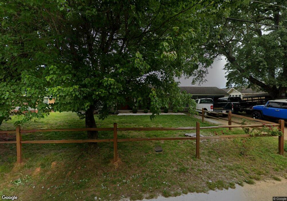
270 Eastside Dr Demorest, GA 30535
Estimated Value: $253,000 - $286,000
3
Beds
1
Bath
1,504
Sq Ft
$175/Sq Ft
Est. Value
About This Home
This home is located at 270 Eastside Dr, Demorest, GA 30535 and is currently estimated at $263,575, approximately $175 per square foot. 270 Eastside Dr is a home with nearby schools including Demorest Elementary School, Wilbanks Middle School, and Habersham Success Academy.
Ownership History
Date
Name
Owned For
Owner Type
Purchase Details
Closed on
Jan 4, 2017
Sold by
Sarah W
Bought by
Harris Brown Sarah W and Harris Hendrick Leslie
Current Estimated Value
Purchase Details
Closed on
Aug 2, 2013
Sold by
Mull Kim
Bought by
Brown Bobby Lee
Purchase Details
Closed on
Feb 1, 2008
Sold by
Not Provided
Bought by
Mayfield Charles B
Create a Home Valuation Report for This Property
The Home Valuation Report is an in-depth analysis detailing your home's value as well as a comparison with similar homes in the area
Home Values in the Area
Average Home Value in this Area
Purchase History
| Date | Buyer | Sale Price | Title Company |
|---|---|---|---|
| Harris Brown Sarah W | -- | -- | |
| Brown Bobby Lee | $7,000 | -- | |
| Mull Kim | -- | -- | |
| Mayfield Charles B | -- | -- | |
| Mayfield Charles B | -- | -- |
Source: Public Records
Tax History
| Year | Tax Paid | Tax Assessment Tax Assessment Total Assessment is a certain percentage of the fair market value that is determined by local assessors to be the total taxable value of land and additions on the property. | Land | Improvement |
|---|---|---|---|---|
| 2025 | $2,499 | $103,438 | $25,908 | $77,530 |
| 2024 | $2,035 | $78,420 | $10,000 | $68,420 |
| 2023 | $1,666 | $66,652 | $10,000 | $56,652 |
| 2022 | $1,530 | $58,660 | $10,000 | $48,660 |
| 2021 | $1,218 | $46,916 | $3,408 | $43,508 |
| 2020 | $1,086 | $40,368 | $2,920 | $37,448 |
| 2019 | $1,087 | $40,368 | $2,920 | $37,448 |
| 2018 | $1,078 | $40,368 | $2,920 | $37,448 |
| 2017 | $536 | $19,944 | $2,192 | $17,752 |
| 2016 | $375 | $35,960 | $2,192 | $12,192 |
| 2015 | $371 | $35,960 | $2,192 | $12,192 |
| 2014 | $358 | $34,070 | $2,192 | $11,436 |
| 2013 | -- | $15,124 | $2,192 | $12,932 |
Source: Public Records
Map
Nearby Homes
- 159 Hardyville Cir
- 226 Chestnut Ave
- 4444 State Highway 365
- 277 Stonebrook Dr
- 180 Springbrook Dr
- 2894 Chase Rd
- 2778 J Warren Rd
- 0 Furniture Dr Unit 7545752
- 0 Furniture Dr Unit 10484163
- 515 Wauka Dr
- 539 Wauka Dr
- 545 Wauka Dr
- 445 Spiral Hills Dr
- 451 Spiral Hills Dr
- 274 & 278 N Hazel Ave
- 133 Blue Ridge Ave
- 668 Bald Ridge Cir
- 660 Bald Ridge Cir
- 101 Long St
- 623 Maine St
- 278 Eastside Dr
- 252 Eastside Dr
- 290 Eastside Dr
- 255 Eastside Dr
- 218 Eastside Dr
- 289 Eastside Dr
- 318 Eastside Dr
- 203 Eastside Dr
- 188 Eastside Dr
- 311 Eastside Dr
- 346 Eastside Dr
- 301 Hyde Park Ln
- 501 Hyde Park Ln
- 504 Hyde Park Ln
- 703 Hyde Park Ln
- 302 Hyde Park Ln
- 101 Hyde Park Ln
- 167 Eastside Dr
- 333 Eastside Dr
- 152 Eastside Dr
Your Personal Tour Guide
Ask me questions while you tour the home.