270 Evans Ln Wayland, MI 49348
Estimated Value: $570,000 - $709,000
--
Bed
1
Bath
1,941
Sq Ft
$345/Sq Ft
Est. Value
About This Home
This home is located at 270 Evans Ln, Wayland, MI 49348 and is currently estimated at $668,703, approximately $344 per square foot. 270 Evans Ln is a home located in Barry County with nearby schools including Wayland High School.
Ownership History
Date
Name
Owned For
Owner Type
Purchase Details
Closed on
Dec 28, 2023
Sold by
Pitsch Loren and Pitsch Beth
Bought by
James And Beth Nickels Trust and Nickels
Current Estimated Value
Purchase Details
Closed on
Oct 24, 2022
Sold by
Pitsch Loren and Pitsch Beth
Bought by
James And Beth Nickels Trust and Nickels
Purchase Details
Closed on
Oct 5, 2022
Sold by
Pitsch Loren
Bought by
Pitsch Loren and Pitsch Beth
Purchase Details
Closed on
Aug 28, 2012
Sold by
Quayle Dennis L and Quayle Jacalyn L
Bought by
Pitsch Loren
Purchase Details
Closed on
Sep 19, 2011
Sold by
Quayle William H and Quayle Juanita W
Bought by
Quayle Dennis L
Create a Home Valuation Report for This Property
The Home Valuation Report is an in-depth analysis detailing your home's value as well as a comparison with similar homes in the area
Home Values in the Area
Average Home Value in this Area
Purchase History
| Date | Buyer | Sale Price | Title Company |
|---|---|---|---|
| James And Beth Nickels Trust | $72,000 | None Listed On Document | |
| James And Beth Nickels Trust | -- | None Listed On Document | |
| James And Beth Nickels Trust | -- | None Listed On Document | |
| Pitsch Loren | -- | None Listed On Document | |
| Pitsch Loren | -- | None Listed On Document | |
| Pitsch Loren | $35,000 | First American Title Ins Co | |
| Quayle Dennis L | -- | None Available |
Source: Public Records
Tax History Compared to Growth
Tax History
| Year | Tax Paid | Tax Assessment Tax Assessment Total Assessment is a certain percentage of the fair market value that is determined by local assessors to be the total taxable value of land and additions on the property. | Land | Improvement |
|---|---|---|---|---|
| 2025 | $1,538 | $328,500 | $0 | $0 |
| 2024 | $1,538 | $317,500 | $0 | $0 |
| 2023 | $1,141 | $28,600 | $0 | $0 |
| 2022 | $1,141 | $28,600 | $0 | $0 |
| 2021 | $1,141 | $26,600 | $0 | $0 |
| 2020 | $1,096 | $24,400 | $0 | $0 |
| 2019 | $1,096 | $25,200 | $0 | $0 |
| 2018 | $1,092 | $22,700 | $13,900 | $8,800 |
| 2017 | $1,092 | $22,700 | $0 | $0 |
| 2016 | -- | $23,700 | $0 | $0 |
| 2015 | -- | $22,900 | $0 | $0 |
| 2014 | -- | $22,900 | $0 | $0 |
Source: Public Records
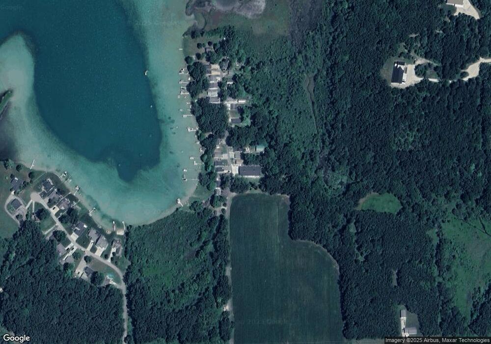
Map
Nearby Homes
- 12031 Sandstone Dr
- 12169 Pine Meadows Dr
- 1164 E Bernie Ct
- 1736 Parker Dr
- 12720 S Grey Ct
- 1875 Edwin Dr
- 12857 Michael Dr Unit 49
- 1391 Shadowridge Dr
- 1980 Parker Dr
- 11065 W M 179 Hwy
- 11753 Rosemary Ln
- 11751 Rosemary Ln
- 12712 Sunrise Ct
- 2724 Pasture Ln
- 35 Cannonball Ln
- 0 Spruce Hollow Dr Unit Parcel B
- 1823 Starr View Ln Unit 11
- 11401 Davis Rd
- 3140 Sandy Beach St
- 12940 Cleland Ave