270 Laing Rd West Monroe, LA 71292
Estimated Value: $241,000 - $280,000
4
Beds
3
Baths
1,884
Sq Ft
$139/Sq Ft
Est. Value
About This Home
This home is located at 270 Laing Rd, West Monroe, LA 71292 and is currently estimated at $262,454, approximately $139 per square foot. 270 Laing Rd is a home located in Ouachita Parish with nearby schools including Woodlawn Elementary School, Woodlawn Middle School, and West Ouachita High School.
Ownership History
Date
Name
Owned For
Owner Type
Purchase Details
Closed on
Sep 20, 2016
Sold by
Mcleod Gregory Allen
Bought by
Redmond Mcleod Jennifer Lynn
Current Estimated Value
Home Financials for this Owner
Home Financials are based on the most recent Mortgage that was taken out on this home.
Original Mortgage
$188,800
Outstanding Balance
$150,806
Interest Rate
3.43%
Mortgage Type
New Conventional
Estimated Equity
$111,648
Create a Home Valuation Report for This Property
The Home Valuation Report is an in-depth analysis detailing your home's value as well as a comparison with similar homes in the area
Home Values in the Area
Average Home Value in this Area
Purchase History
| Date | Buyer | Sale Price | Title Company |
|---|---|---|---|
| Redmond Mcleod Jennifer Lynn | -- | First Security Title |
Source: Public Records
Mortgage History
| Date | Status | Borrower | Loan Amount |
|---|---|---|---|
| Open | Redmond Mcleod Jennifer Lynn | $188,800 |
Source: Public Records
Tax History Compared to Growth
Tax History
| Year | Tax Paid | Tax Assessment Tax Assessment Total Assessment is a certain percentage of the fair market value that is determined by local assessors to be the total taxable value of land and additions on the property. | Land | Improvement |
|---|---|---|---|---|
| 2024 | $426 | $12,050 | $1,850 | $10,200 |
| 2023 | $426 | $12,050 | $1,850 | $10,200 |
| 2022 | $1,069 | $12,050 | $1,850 | $10,200 |
| 2021 | $1,082 | $12,050 | $1,850 | $10,200 |
| 2020 | $1,082 | $12,050 | $1,850 | $10,200 |
| 2019 | $1,079 | $12,050 | $1,850 | $10,200 |
| 2018 | $408 | $12,050 | $1,850 | $10,200 |
| 2017 | $1,079 | $12,050 | $1,850 | $10,200 |
| 2016 | $1,079 | $12,050 | $1,850 | $10,200 |
| 2015 | $406 | $12,050 | $1,850 | $10,200 |
| 2014 | $406 | $12,050 | $1,850 | $10,200 |
| 2013 | $405 | $12,050 | $1,850 | $10,200 |
Source: Public Records
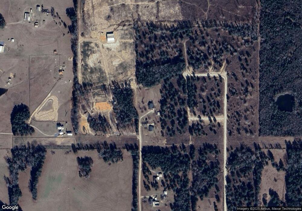
Map
Nearby Homes
- 6347 Jonesboro Rd
- 243 Rebecca Dr
- 329 Jim Arrant Rd
- 152 Jim Arrant Rd
- 494 Lapine Rd
- 0 Ed Rutledge Rd Unit 215652
- 000 Jimmy Graham Loop
- 000 William Harris Rd Unit 1.365 Acres
- 0 Roberson Rd Unit 206166
- 207 Lenard Cir
- 160 Wainwright Ln Unit 1
- 850 Lapine Rd
- 219 Dogwood Cir
- 103 Laura Wilkes Rd
- 0 Chatham Ln
- 125 Chatham Ln
- 995 Larry Henry Rd
- 212 S Leo Ln
- 175 S Leo Ln
- 146 S Leo Ln
- 250 Laing Rd
- 194 Laing Rd
- 170 Laing Rd
- 144 Laing Rd
- 139 Folden Rd
- 134 Laing Rd
- 1301 Highway 3033
- 115 Folden Rd
- 115 Folden Dr
- 1377 Highway 3033
- 1263 Highway 3033
- 1433 Highway 3033
- 6241 Jonesboro Rd
- 6130 Jonesboro Rd
- 1259 Highway 3033
- 5962 Jonesboro Rd
- 6126 Jonesboro Rd
- 114 Blackwell Rd
- 6420 Jonesboro Rd
- 1235 Highway 3033