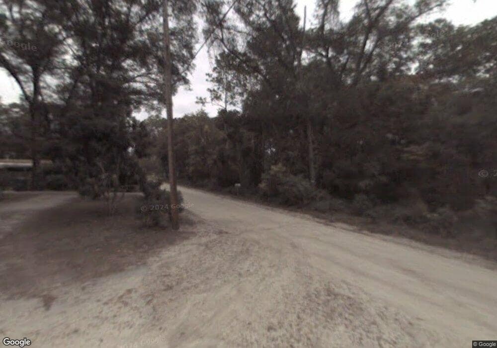
270 Lake Mamie Rd Deland, FL 32724
North DeLand NeighborhoodEstimated Value: $465,000 - $576,000
3
Beds
3
Baths
3,746
Sq Ft
$140/Sq Ft
Est. Value
About This Home
This home is located at 270 Lake Mamie Rd, Deland, FL 32724 and is currently estimated at $524,340, approximately $139 per square foot. 270 Lake Mamie Rd is a home located in Volusia County with nearby schools including George W. Marks Elementary School, Deland High School, and Deland Middle School.
Ownership History
Date
Name
Owned For
Owner Type
Purchase Details
Closed on
Jul 21, 2023
Sold by
Bennett Kathleen Susan
Bought by
Bennett Kathleen Susan
Current Estimated Value
Purchase Details
Closed on
Jun 30, 2010
Sold by
Sjostrom Stella M and Sherman Sheree L
Bought by
Bennett Kathleen Susan
Home Financials for this Owner
Home Financials are based on the most recent Mortgage that was taken out on this home.
Original Mortgage
$140,000
Interest Rate
3.5%
Mortgage Type
New Conventional
Purchase Details
Closed on
Jun 15, 1988
Bought by
Bennett Kathleen Susan
Create a Home Valuation Report for This Property
The Home Valuation Report is an in-depth analysis detailing your home's value as well as a comparison with similar homes in the area
Home Values in the Area
Average Home Value in this Area
Purchase History
| Date | Buyer | Sale Price | Title Company |
|---|---|---|---|
| Bennett Kathleen Susan | $100 | None Listed On Document | |
| Bennett Kathleen Susan | $100 | None Listed On Document | |
| Bennett Kathleen Susan | $200,000 | Westside Title Services Inc | |
| Bennett Kathleen Susan | $11,000 | -- |
Source: Public Records
Mortgage History
| Date | Status | Borrower | Loan Amount |
|---|---|---|---|
| Previous Owner | Bennett Kathleen Susan | $140,000 |
Source: Public Records
Tax History Compared to Growth
Tax History
| Year | Tax Paid | Tax Assessment Tax Assessment Total Assessment is a certain percentage of the fair market value that is determined by local assessors to be the total taxable value of land and additions on the property. | Land | Improvement |
|---|---|---|---|---|
| 2025 | $3,143 | $233,494 | -- | -- |
| 2024 | $3,143 | $226,914 | -- | -- |
| 2023 | $3,143 | $220,305 | $0 | $0 |
| 2022 | $3,202 | $213,888 | $0 | $0 |
| 2021 | $3,288 | $207,658 | $0 | $0 |
| 2020 | $3,237 | $204,791 | $0 | $0 |
| 2019 | $3,315 | $200,187 | $0 | $0 |
| 2018 | $3,287 | $196,454 | $0 | $0 |
| 2017 | $3,249 | $192,413 | $0 | $0 |
| 2016 | $3,069 | $188,455 | $0 | $0 |
| 2015 | $3,807 | $187,145 | $0 | $0 |
| 2014 | $3,622 | $179,101 | $0 | $0 |
Source: Public Records
Map
Nearby Homes
- 337 Spring Lake Dr Unit 210
- 4111 Woodland Cir
- 105 Live Oak Dr Unit 245
- 112 Live Oak Dr
- 130 Oakleaf Cir
- 126 Conneaut Terrace Unit 139
- 165 Cypress Point N
- 369 Spring Lake Dr
- 66 Elmwood Trail
- 160 Cutbank Trail
- 168 N Cypress Point Unit 159
- 201 Oakleaf Cir
- 920 Shady Branch Trail
- 389 Spring Lake Dr
- 287 Crooked Tree Trail Unit 4
- 184 Bay Ct
- 180 Bay Ct Unit 25
- 29 Ramblewood Trail
- 179 Oakleaf Cir Unit 54
- 160 Magnolia Way Unit 51
- 271 Lake Mamie Rd
- 3564 Jerathan Dr
- 3580 Jerathan Dr
- 281 Lake Mamie Rd
- 3548 Jerathan Dr
- 261 Lake Mamie Rd
- 291 Lake Mamie Rd
- 299 Lake Mamie Rd
- 3532 Jerathan Dr
- 251 Lake Mamie Rd
- 3531 Jerathan Dr
- 324 Lake Mamie Rd
- 4145 Woodland Cir
- 4155 Woodland Cir
- 311 Lake Mamie Rd
- 4157 Woodland Cir
- 0 Lake Mamie Rd Unit V4901083
- 0 Lake Mamie Rd Unit V4701278
- 0 Lake Mamie Rd Unit V4647115
- 0 Lake Mamie Rd Unit V4923158
