Estimated Value: $288,005 - $318,000
3
Beds
3
Baths
1,715
Sq Ft
$180/Sq Ft
Est. Value
About This Home
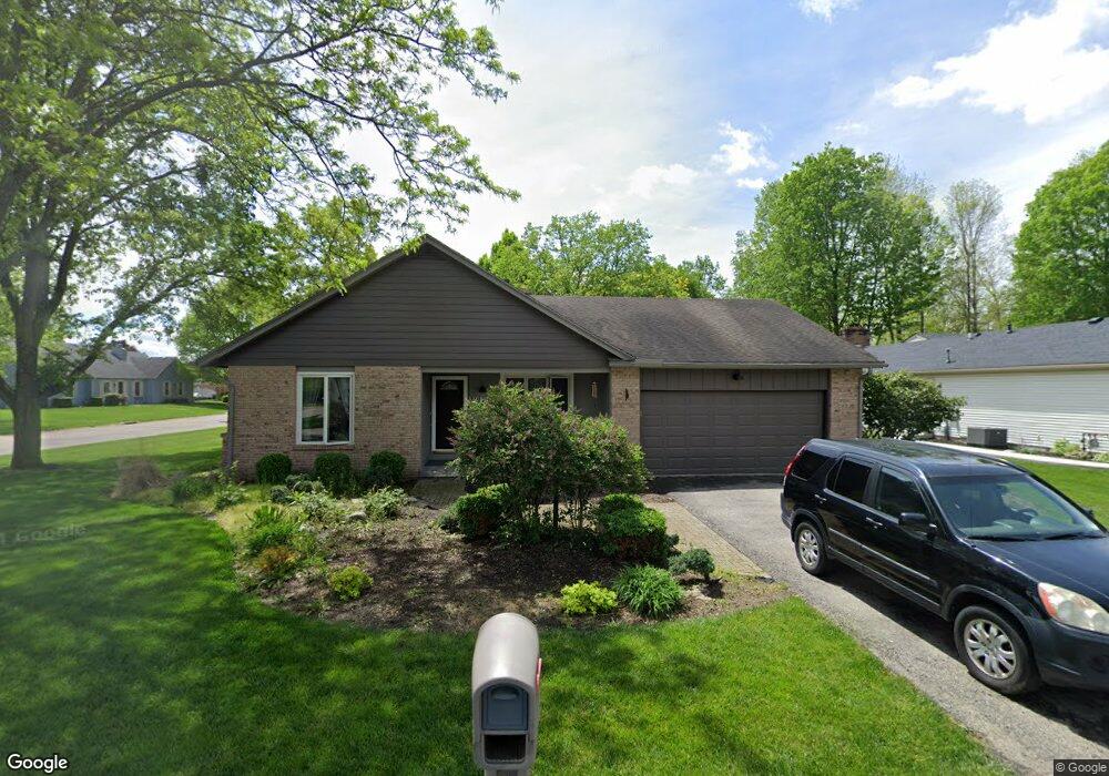
This home is located at 270 Locust View Way, Troy, OH 45373 and is currently estimated at $308,501, approximately $179 per square foot. 270 Locust View Way is a home located in Miami County with nearby schools including Concord Elementary School, Van Cleve Elementary School, and Troy Junior High School.
Ownership History
Date
Name
Owned For
Owner Type
Purchase Details
Closed on
Nov 17, 2006
Sold by
Hall William
Bought by
Carney Christopher J and Carney Kecia L
Current Estimated Value
Home Financials for this Owner
Home Financials are based on the most recent Mortgage that was taken out on this home.
Original Mortgage
$147,175
Outstanding Balance
$85,506
Interest Rate
6.36%
Mortgage Type
FHA
Estimated Equity
$222,995
Purchase Details
Closed on
Sep 7, 2005
Sold by
Donovan Albert R and Donovan Laconda
Bought by
Hall William
Purchase Details
Closed on
Jun 1, 1985
Bought by
Donovan Albert R
Create a Home Valuation Report for This Property
The Home Valuation Report is an in-depth analysis detailing your home's value as well as a comparison with similar homes in the area
Home Values in the Area
Average Home Value in this Area
Purchase History
| Date | Buyer | Sale Price | Title Company |
|---|---|---|---|
| Carney Christopher J | $155,000 | -- | |
| Hall William | $170,000 | -- | |
| Donovan Albert R | $87,000 | -- |
Source: Public Records
Mortgage History
| Date | Status | Borrower | Loan Amount |
|---|---|---|---|
| Open | Hall William | $147,175 |
Source: Public Records
Tax History
| Year | Tax Paid | Tax Assessment Tax Assessment Total Assessment is a certain percentage of the fair market value that is determined by local assessors to be the total taxable value of land and additions on the property. | Land | Improvement |
|---|---|---|---|---|
| 2025 | $3,190 | $89,500 | $14,530 | $74,970 |
| 2024 | $3,190 | $71,650 | $14,530 | $57,120 |
| 2023 | $2,784 | $71,650 | $14,530 | $57,120 |
| 2022 | $2,332 | $71,650 | $14,530 | $57,120 |
| 2021 | $2,070 | $59,710 | $12,110 | $47,600 |
| 2020 | $2,072 | $59,710 | $12,110 | $47,600 |
| 2019 | $2,091 | $59,710 | $12,110 | $47,600 |
| 2018 | $1,762 | $47,920 | $13,090 | $34,830 |
| 2017 | $1,778 | $47,920 | $13,090 | $34,830 |
| 2016 | $1,754 | $47,920 | $13,090 | $34,830 |
| 2015 | $1,688 | $44,350 | $12,110 | $32,240 |
| 2014 | $1,688 | $44,350 | $12,110 | $32,240 |
| 2013 | $1,699 | $44,350 | $12,110 | $32,240 |
Source: Public Records
Map
Nearby Homes
- 2882 Red Oak Cir
- 591 Countryside Dr S
- 173 Countryside Dr N
- 3135 Honeysuckle Dr
- 20 Boone Dr
- 2550 Broken Woods Dr
- 2685 Merrimont Dr
- 120 Windmere Dr
- 974 Stony Brook Ln
- 999 Brookwood Dr
- 0 Lincolnshire Unit 939331
- 2672 Pleasant View Dr
- 2650 Pleasant View Dr
- 1245 Wind Rock Dr
- 1704 Chevington Chase
- 1704 Chevington Chase
- 2215 Merrimont Dr
- 1234 Wind Rock Dr
- 1117 Honeydew Dr
- 807 Claymore Ct
- 290 Locust View Way
- 275 Green Oak Dr
- 240 Locust View Way
- 295 Green Oak Dr
- 300 Locust View Way
- 2900 Walnut Ridge Dr
- 2965 Walnut Ridge Dr
- 295 Locust View Way
- 305 Green Oak Dr
- 2905 Walnut Ridge Dr
- 230 Locust View Way
- 320 Locust View Way
- 315 Locust View Way
- 231 Green Oak Dr
- 2892 Walnut Ridge Dr
- 325 Green Oak Dr
- 229 Locust View Way
- 270 Green Oak Dr
- 355 Locust View Way
- 216 Locust View Way
Your Personal Tour Guide
Ask me questions while you tour the home.