Estimated Value: $480,000 - $615,610
3
Beds
2
Baths
2,200
Sq Ft
$258/Sq Ft
Est. Value
About This Home
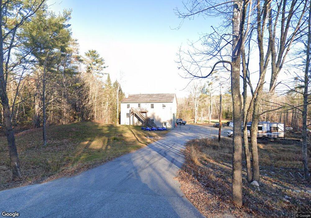
This home is located at 270 Mayall Rd, Gray, ME 04039 and is currently estimated at $566,903, approximately $257 per square foot. 270 Mayall Rd is a home with nearby schools including Gray-New Gloucester High School and Fiddlehead School of Arts & Science.
Ownership History
Date
Name
Owned For
Owner Type
Purchase Details
Closed on
Oct 3, 2007
Sold by
Parsons John G and Bell Heath J
Bought by
Burke Nicholas C
Current Estimated Value
Home Financials for this Owner
Home Financials are based on the most recent Mortgage that was taken out on this home.
Original Mortgage
$228,450
Interest Rate
6.59%
Mortgage Type
FHA
Create a Home Valuation Report for This Property
The Home Valuation Report is an in-depth analysis detailing your home's value as well as a comparison with similar homes in the area
Home Values in the Area
Average Home Value in this Area
Purchase History
| Date | Buyer | Sale Price | Title Company |
|---|---|---|---|
| Burke Nicholas C | -- | -- |
Source: Public Records
Mortgage History
| Date | Status | Borrower | Loan Amount |
|---|---|---|---|
| Open | Burke Nicholas C | $233,414 | |
| Closed | Burke Nicholas C | $228,450 |
Source: Public Records
Tax History
| Year | Tax Paid | Tax Assessment Tax Assessment Total Assessment is a certain percentage of the fair market value that is determined by local assessors to be the total taxable value of land and additions on the property. | Land | Improvement |
|---|---|---|---|---|
| 2025 | $5,441 | $562,100 | $126,300 | $435,800 |
| 2024 | $5,452 | $562,100 | $126,300 | $435,800 |
| 2023 | $4,870 | $320,800 | $63,600 | $257,200 |
| 2022 | $4,475 | $320,800 | $63,600 | $257,200 |
| 2021 | $4,389 | $300,400 | $63,600 | $236,800 |
| 2020 | $4,229 | $286,700 | $63,600 | $223,100 |
| 2019 | $4,229 | $286,700 | $63,600 | $223,100 |
| 2018 | $4,014 | $286,700 | $63,600 | $223,100 |
| 2017 | $3,980 | $220,500 | $52,100 | $168,400 |
| 2016 | $4,035 | $220,500 | $52,100 | $168,400 |
| 2015 | $4,013 | $220,500 | $52,100 | $168,400 |
| 2014 | $4,013 | $220,500 | $52,100 | $168,400 |
| 2012 | $3,495 | $220,507 | $52,075 | $168,432 |
Source: Public Records
Map
Nearby Homes
- 0 Mayall
- 2 Ethan Way
- 13 Mill Brook Rd Unit A
- 19 Magnolia Dr
- 27 Callaway Dr Unit 27B
- 17 Callaway Dr Unit 17
- 0 Colley Hill Rd
- 86 Skips Way
- 4 Wanda Ln
- 22 Gray Park
- 72 Shaw Brook Ln
- 173 Weymouth Rd
- 224 Shaker Rd
- 127 Shaker Rd Unit 17
- 14 Woodcock Dr
- 9 Woodcock Dr
- 22 Woodcock Dr
- 58 Woodcock Dr
- 60 Woodcock Dr
- 5 Partridge Ln
- 274 Mayall Rd
- 266 Mayall Rd
- 264 Mayall Rd
- 258 Mayall Rd
- 280 Mayall Rd
- 262 Mayall Rd Unit 4
- 262 Mayall Rd Unit 3
- 262 Mayall Rd Unit 2
- 262 Mayall Rd Unit 1
- 262 Mayall Rd
- 277 Mayall Rd
- 282 Mayall Rd
- 288 Mayall Rd
- TBA Mayall Rd
- TBD Mayall Rd
- 287 Mayall Rd
- 297 Mayall Rd
- 174 Lewiston Rd
- 168 Lewiston Rd
- 15 Megquier Rd
