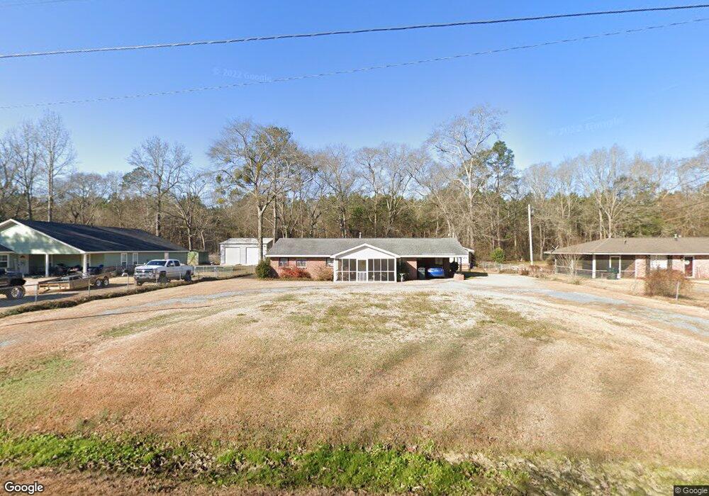
270 Meadow Lane Dr Elmore, AL 36025
Estimated Value: $154,000 - $167,000
--
Bed
1
Bath
1,344
Sq Ft
$119/Sq Ft
Est. Value
About This Home
This home is located at 270 Meadow Lane Dr, Elmore, AL 36025 and is currently estimated at $160,150, approximately $119 per square foot. 270 Meadow Lane Dr is a home located in Elmore County with nearby schools including Coosada Elementary School, Airport Road Intermediate School, and Millbrook Middle Junior High School.
Ownership History
Date
Name
Owned For
Owner Type
Purchase Details
Closed on
Dec 13, 2023
Sold by
Stone Shelvie B
Bought by
Alewine Marc and Alewine Tiffany
Current Estimated Value
Home Financials for this Owner
Home Financials are based on the most recent Mortgage that was taken out on this home.
Original Mortgage
$118,750
Outstanding Balance
$116,875
Interest Rate
7.76%
Mortgage Type
New Conventional
Estimated Equity
$43,275
Create a Home Valuation Report for This Property
The Home Valuation Report is an in-depth analysis detailing your home's value as well as a comparison with similar homes in the area
Home Values in the Area
Average Home Value in this Area
Purchase History
| Date | Buyer | Sale Price | Title Company |
|---|---|---|---|
| Alewine Marc | $125,000 | None Listed On Document |
Source: Public Records
Mortgage History
| Date | Status | Borrower | Loan Amount |
|---|---|---|---|
| Open | Alewine Marc | $118,750 |
Source: Public Records
Tax History Compared to Growth
Tax History
| Year | Tax Paid | Tax Assessment Tax Assessment Total Assessment is a certain percentage of the fair market value that is determined by local assessors to be the total taxable value of land and additions on the property. | Land | Improvement |
|---|---|---|---|---|
| 2024 | $454 | $34,780 | $0 | $0 |
| 2023 | $920 | $155,020 | $15,450 | $139,570 |
| 2022 | $243 | $14,037 | $1,545 | $12,492 |
| 2021 | $0 | $12,447 | $1,545 | $10,902 |
| 2020 | $281 | $11,657 | $1,545 | $10,112 |
| 2019 | $281 | $11,221 | $1,669 | $9,552 |
| 2018 | $0 | $11,091 | $1,669 | $9,422 |
| 2017 | $191 | $11,240 | $1,670 | $9,570 |
| 2016 | $261 | $10,417 | $1,545 | $8,872 |
| 2014 | -- | $106,790 | $15,450 | $91,340 |
Source: Public Records
Map
Nearby Homes
- 195 Meadow Lane Dr
- 152 Meadow Lane Dr
- 92 Meadow Lane Dr
- 6641 Rives Rd
- 6651 Rives Rd
- 145 Brownstone Loop
- 125 Brownstone Loop
- 310 Brownstone Loop
- 280 Brownstone Loop
- 274 Brownstone Loop
- 225 Brownstone Loop
- 6480 Pineleaf Dr
- 6521 Pineleaf Dr
- 4752 Ward Rd
- 4820 Alabama 14
- 3963 Highway 14 Hwy
- 437 Kennedy Ave
- 145 Charleston Dr
- 290 Seminole Cir
- 2230 Politic Rd
- 258 Meadow Lane Dr
- 294 Meadow Lane Dr
- 240 Meadow Lane Dr
- 310 Meadow Lane Dr
- 273 Meadow Lane Dr
- 257 Meadow Lane Dr
- 330 Meadow Lane Dr
- 295 Meadow Lane Dr
- 239 Meadow Lane Dr
- 313 Meadow Lane Dr
- 348 Meadow Lane Dr
- 198 Meadow Lane Dr
- 337 Meadow Lane Dr
- 157 Meadow Lane Dr
- 93 Hillhedge Rd
- 111 Hillhedge Rd
- 71 Hillhedge Rd
- 133 Hillhedge Rd
- 362 Meadow Lane Dr
- 131 Meadow Lane Dr