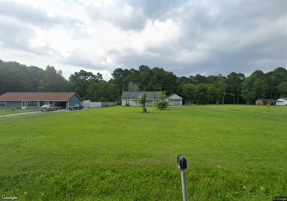
270 Morgan Rd Seabrook, SC 29940
Estimated Value: $492,000 - $598,000
3
Beds
3
Baths
1,734
Sq Ft
$313/Sq Ft
Est. Value
About This Home
This home is located at 270 Morgan Rd, Seabrook, SC 29940 and is currently estimated at $542,859, approximately $313 per square foot. 270 Morgan Rd is a home with nearby schools including Whale Branch Elementary School, Whale Branch Middle School, and Whale Branch Early College High School.
Ownership History
Date
Name
Owned For
Owner Type
Purchase Details
Closed on
Sep 23, 2022
Sold by
Brantley Michael C
Bought by
Brantley Michael C and Brantley Mary Velez
Current Estimated Value
Home Financials for this Owner
Home Financials are based on the most recent Mortgage that was taken out on this home.
Original Mortgage
$208,000
Outstanding Balance
$189,453
Interest Rate
5.55%
Mortgage Type
Balloon
Estimated Equity
$353,406
Purchase Details
Closed on
Aug 24, 2010
Sold by
Brantley Judy M and Brantley Charlie V
Bought by
Brantley Michael C
Create a Home Valuation Report for This Property
The Home Valuation Report is an in-depth analysis detailing your home's value as well as a comparison with similar homes in the area
Home Values in the Area
Average Home Value in this Area
Purchase History
| Date | Buyer | Sale Price | Title Company |
|---|---|---|---|
| Brantley Michael C | -- | -- | |
| Brantley Michael C | -- | -- |
Source: Public Records
Mortgage History
| Date | Status | Borrower | Loan Amount |
|---|---|---|---|
| Open | Brantley Michael C | $208,000 |
Source: Public Records
Tax History Compared to Growth
Tax History
| Year | Tax Paid | Tax Assessment Tax Assessment Total Assessment is a certain percentage of the fair market value that is determined by local assessors to be the total taxable value of land and additions on the property. | Land | Improvement |
|---|---|---|---|---|
| 2024 | $1,655 | $17,348 | $1,192 | $16,156 |
| 2023 | $1,655 | $17,348 | $1,192 | $16,156 |
| 2022 | $1,526 | $9,856 | $840 | $9,016 |
| 2021 | $1,504 | $9,856 | $840 | $9,016 |
| 2020 | $1,510 | $9,856 | $840 | $9,016 |
| 2019 | $1,476 | $9,856 | $840 | $9,016 |
| 2018 | $1,417 | $9,860 | $0 | $0 |
| 2017 | $1,258 | $8,570 | $0 | $0 |
| 2016 | $1,219 | $8,570 | $0 | $0 |
| 2014 | $153 | $8,570 | $0 | $0 |
Source: Public Records
Map
Nearby Homes
- 10 Bosquet Marais
- 39 Middlefield Cir
- 18 N Breeze Island
- 18 N Breeze Island
- 10 N Huspah Ct
- 972 Kinloch Rd
- 246 Stuart Point Rd
- 108 Stuart Point Rd
- 20 McCalley Creek Ln
- 127 Teal Bluff Blvd
- 117 Teal Bluff Blvd
- 16 McCalley Creek Ln
- 18 McCalley Creek Ln
- 250 Wimbee Landing Rd
- 10 Garrett Ln
- 20 Garrett Ln
- 29 State Road S-7-769
- 2074 Trask Pkwy
- 206 Marsh Point Dr
- 26 Swamprose Ln