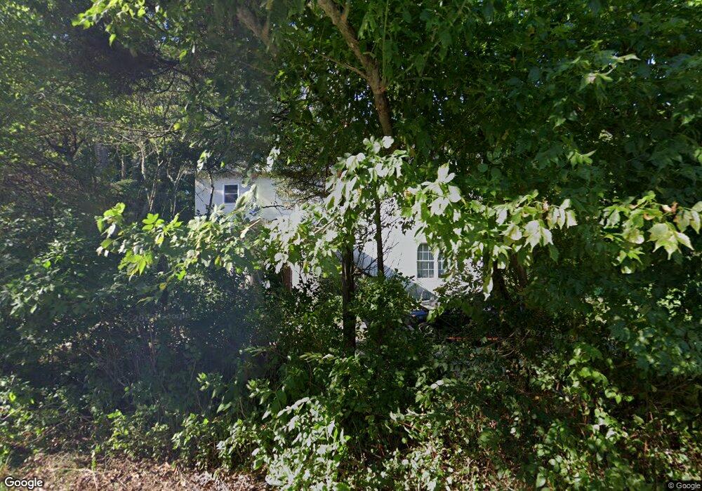
270 Mount Misery Rd Browns Mills, NJ 08015
Estimated Value: $288,000 - $394,000
--
Bed
--
Bath
2,392
Sq Ft
$135/Sq Ft
Est. Value
About This Home
This home is located at 270 Mount Misery Rd, Browns Mills, NJ 08015 and is currently estimated at $322,409, approximately $134 per square foot. 270 Mount Misery Rd is a home located in Burlington County.
Ownership History
Date
Name
Owned For
Owner Type
Purchase Details
Closed on
Apr 24, 2006
Sold by
Hendrickson Lisa A and Maser Lisa A
Bought by
Maser Dale E and Maser Lisa A
Current Estimated Value
Purchase Details
Closed on
Aug 11, 2000
Sold by
Evelo Wayne J and Evelo Joan Kemps
Bought by
Hendrickson Lisa A
Home Financials for this Owner
Home Financials are based on the most recent Mortgage that was taken out on this home.
Original Mortgage
$50,925
Outstanding Balance
$18,256
Interest Rate
8.06%
Mortgage Type
Purchase Money Mortgage
Estimated Equity
$304,153
Create a Home Valuation Report for This Property
The Home Valuation Report is an in-depth analysis detailing your home's value as well as a comparison with similar homes in the area
Home Values in the Area
Average Home Value in this Area
Purchase History
| Date | Buyer | Sale Price | Title Company |
|---|---|---|---|
| Maser Dale E | -- | None Available | |
| Hendrickson Lisa A | $52,500 | -- |
Source: Public Records
Mortgage History
| Date | Status | Borrower | Loan Amount |
|---|---|---|---|
| Open | Hendrickson Lisa A | $50,925 |
Source: Public Records
Tax History Compared to Growth
Tax History
| Year | Tax Paid | Tax Assessment Tax Assessment Total Assessment is a certain percentage of the fair market value that is determined by local assessors to be the total taxable value of land and additions on the property. | Land | Improvement |
|---|---|---|---|---|
| 2025 | $5,235 | $170,800 | $39,000 | $131,800 |
| 2024 | $4,912 | $170,800 | $39,000 | $131,800 |
| 2023 | $4,912 | $170,800 | $39,000 | $131,800 |
| 2022 | $4,547 | $170,800 | $39,000 | $131,800 |
| 2021 | $4,361 | $170,800 | $39,000 | $131,800 |
| 2020 | $4,197 | $170,800 | $39,000 | $131,800 |
| 2019 | $4,019 | $170,800 | $39,000 | $131,800 |
| 2018 | $3,882 | $170,800 | $39,000 | $131,800 |
| 2017 | $3,802 | $170,800 | $39,000 | $131,800 |
| 2016 | $1,962 | $52,500 | $14,400 | $38,100 |
| 2015 | $1,947 | $52,500 | $14,400 | $38,100 |
| 2014 | $1,861 | $52,500 | $14,400 | $38,100 |
Source: Public Records
Map
Nearby Homes
- 3620 Weymouth Rd
- 3610 Weymouth Rd
- 3561 Weymouth Rd
- 3594 Nashua St
- 3698 A Nashua St
- 3394 Liberty St
- 3399 Liberty St
- 20 Coville Dr
- 204 Scammell Dr
- 511 Laurel Blvd
- 601 Concord Dr
- 28 Scammell Dr
- 215 Coville Dr
- 217 Coville Dr
- 42 Monroe Ave
- 25 Railroad St
- 20 Carp Ln
- 108 Juliustown Rd
- 55 Columbus Ave
- 0 Pembrown Rd Unit NJBL2061932
- 268 Mount Misery Rd
- 266 Mount Misery Rd
- 263 Mount Misery Rd
- 261 Mount Misery Rd
- 262 Mount Misery Rd
- 271 Mount Misery Rd
- 281 Rancocas Ln
- 258 Mount Misery Rd
- 277 Mount Misery Rd
- 279 Rancocas Ln
- 256 Mount Misery Rd
- 287 Mount Misery Rd
- 252 Mount Misery Rd
- 243 Mount Misery Rd
- 248 Mount Misery Rd
- 232 Mount Misery Rd
- 232 Mount Misery Rd
- 295 Mount Misery Rd
- 707 Rancocas Ln
- 703 Rancocas Ln