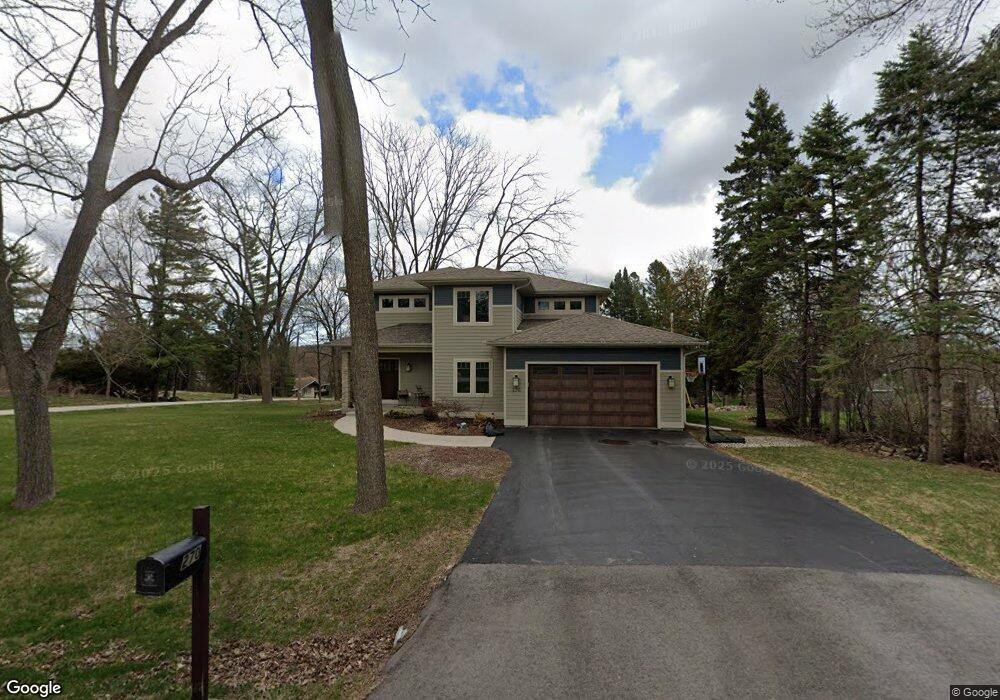
270 N Bobolink Dr Brookfield, WI 53005
Estimated Value: $535,000 - $647,000
--
Bed
--
Bath
--
Sq Ft
0.33
Acres
About This Home
This home is located at 270 N Bobolink Dr, Brookfield, WI 53005 and is currently estimated at $610,757. 270 N Bobolink Dr is a home located in Waukesha County with nearby schools including Tonawanda Elementary School, Pilgrim Park Middle School, and Brookfield East High School.
Ownership History
Date
Name
Owned For
Owner Type
Purchase Details
Closed on
Jun 3, 2013
Sold by
Ehlers Glenn W and Ehlers Mauriel
Bought by
Carlstrom Aaron and Baillargeon Tara
Current Estimated Value
Home Financials for this Owner
Home Financials are based on the most recent Mortgage that was taken out on this home.
Original Mortgage
$75,200
Outstanding Balance
$53,350
Interest Rate
3.43%
Mortgage Type
New Conventional
Estimated Equity
$557,407
Create a Home Valuation Report for This Property
The Home Valuation Report is an in-depth analysis detailing your home's value as well as a comparison with similar homes in the area
Home Values in the Area
Average Home Value in this Area
Purchase History
| Date | Buyer | Sale Price | Title Company |
|---|---|---|---|
| Carlstrom Aaron | $94,000 | None Available |
Source: Public Records
Mortgage History
| Date | Status | Borrower | Loan Amount |
|---|---|---|---|
| Open | Carlstrom Aaron | $75,200 |
Source: Public Records
Tax History Compared to Growth
Tax History
| Year | Tax Paid | Tax Assessment Tax Assessment Total Assessment is a certain percentage of the fair market value that is determined by local assessors to be the total taxable value of land and additions on the property. | Land | Improvement |
|---|---|---|---|---|
| 2024 | $8,135 | $554,200 | $105,000 | $449,200 |
| 2023 | $6,226 | $554,200 | $105,000 | $449,200 |
| 2022 | $6,198 | $432,000 | $100,000 | $332,000 |
| 2021 | $6,566 | $432,000 | $100,000 | $332,000 |
| 2020 | $6,355 | $402,300 | $100,000 | $302,300 |
| 2019 | $6,105 | $402,300 | $100,000 | $302,300 |
| 2018 | $5,296 | $341,000 | $100,000 | $241,000 |
| 2017 | $5,300 | $341,000 | $100,000 | $241,000 |
| 2016 | $5,377 | $341,000 | $100,000 | $241,000 |
| 2015 | $5,347 | $341,000 | $100,000 | $241,000 |
| 2014 | $1,679 | $173,800 | $100,000 | $73,800 |
| 2013 | $1,679 | $100,000 | $100,000 | $0 |
Source: Public Records
Map
Nearby Homes
- 12980 W Bluemound Rd Unit 308
- 12990 W Bluemound Rd Unit 205
- 13050 W Bluemound Rd Unit 303
- 12207 W Bluemound Rd
- 12000 W Bluemound Rd Unit 111
- 12855 Stephen Place
- 828 S 124th St
- 13130 Watertown Plank Rd Unit 312
- 242 N 116th St
- 11510 W Wisconsin Ave
- 744 N 115th St
- 540 Crystal Ln
- 1270 Alfred St
- 1239 N 122nd St
- 1345 S Elm Grove Rd
- 441 N 112th St
- 11040 W Bluemound Rd
- 13008 W Meadow Ln
- 10900 W Bluemound Rd Unit 208
- 10915 W Wisconsin Ave
- 13060 Nelson Ave
- 13060 W Nelson Ave
- 13015 Lewis Ave
- 13030 Nelson Ave
- 320 N Bobolink Dr
- 265 N Bobolink Dr
- 13020 Lewis Ave
- 13130 Nelson Ave
- 13010 Nelson Ave
- 315 N Bobolink Dr
- 13000 Lewis Ave
- 330 N Bobolink Dr
- 12975 Lewis Ave
- 210 N Bobolink Dr
- 13025 Myrtle Ave
- 350 N Bobolink Dr
- 13005 Nelson Ave
- 270 N Elm Grove Rd
- 13160 Nelson Ave
- 240 N Elm Grove Rd