270 N Crest Dr Port Clinton, OH 43452
Estimated Value: $435,000 - $572,000
3
Beds
3
Baths
1,714
Sq Ft
$288/Sq Ft
Est. Value
About This Home
This home is located at 270 N Crest Dr, Port Clinton, OH 43452 and is currently estimated at $493,444, approximately $287 per square foot. 270 N Crest Dr is a home located in Ottawa County with nearby schools including Bataan Memorial Primary School, Bataan Memorial Intermediate School, and Port Clinton Middle School.
Ownership History
Date
Name
Owned For
Owner Type
Purchase Details
Closed on
May 30, 2014
Sold by
Crall Karen L
Bought by
Greer James P and Greer Mary Beth Koch
Current Estimated Value
Purchase Details
Closed on
Sep 13, 2010
Sold by
Kollman Fred and Kollman Noel
Bought by
Crall Karen L
Create a Home Valuation Report for This Property
The Home Valuation Report is an in-depth analysis detailing your home's value as well as a comparison with similar homes in the area
Home Values in the Area
Average Home Value in this Area
Purchase History
| Date | Buyer | Sale Price | Title Company |
|---|---|---|---|
| Greer James P | $221,000 | Attorney | |
| Crall Karen L | $233,000 | Hartung Title |
Source: Public Records
Tax History Compared to Growth
Tax History
| Year | Tax Paid | Tax Assessment Tax Assessment Total Assessment is a certain percentage of the fair market value that is determined by local assessors to be the total taxable value of land and additions on the property. | Land | Improvement |
|---|---|---|---|---|
| 2024 | $3,538 | $112,077 | $26,936 | $85,141 |
| 2023 | $3,538 | $79,073 | $17,959 | $61,114 |
| 2022 | $2,714 | $78,271 | $17,959 | $60,312 |
| 2021 | $2,710 | $78,270 | $17,960 | $60,310 |
| 2020 | $2,560 | $71,120 | $12,560 | $58,560 |
| 2019 | $2,533 | $71,120 | $12,560 | $58,560 |
| 2018 | $2,529 | $71,120 | $12,560 | $58,560 |
| 2017 | $2,635 | $73,020 | $12,560 | $60,460 |
| 2016 | $2,641 | $73,020 | $12,560 | $60,460 |
| 2015 | $2,652 | $73,020 | $12,560 | $60,460 |
| 2014 | $1,089 | $70,140 | $12,560 | $57,580 |
| 2013 | $2,183 | $70,140 | $12,560 | $57,580 |
Source: Public Records
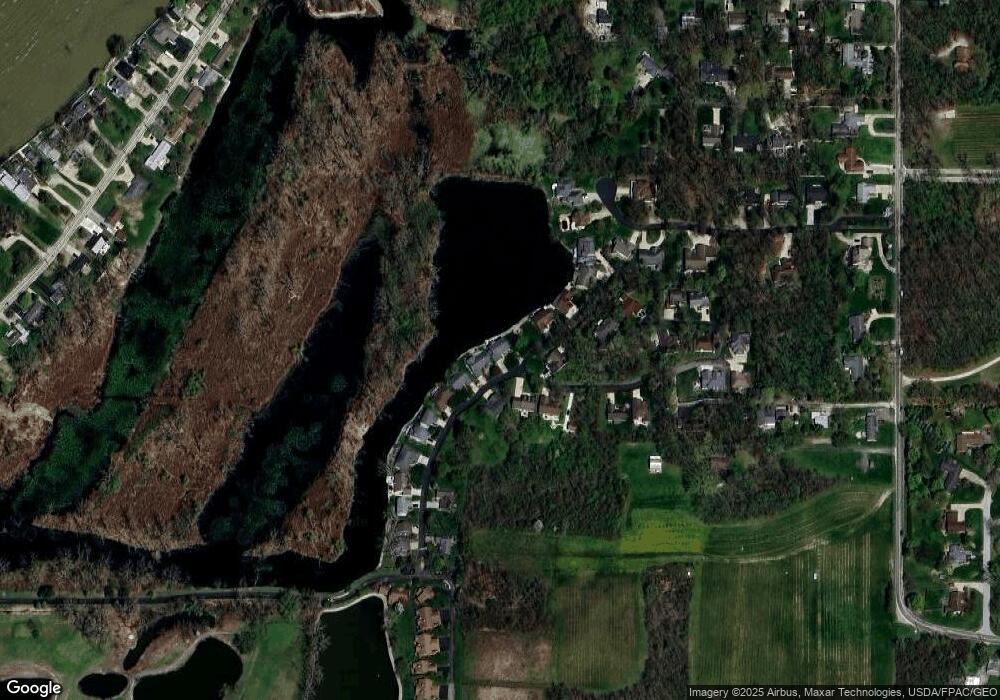
Map
Nearby Homes
- 3500 Woodhill Dr
- 146 N Harbors End Dr Unit 21A
- 3571 E Eagle Beach Cir
- 2817 E Harbor Rd
- 3638 E Rock Cliff Dr
- 3776 E Pine Dr
- 2656 E Harbor Rd Unit D-3
- 2656 E Harbor Rd Unit D-1
- 2656 E Harbor Rd Unit D-2
- 1217 NE Catawba Rd
- 1217 NE Catawba Rd Unit 15
- 1217 NE Catawba Rd Unit 13
- 1217 NE Catawba Rd Unit 14
- 1217 NE Catawba Rd Unit 16
- 4075 E Christopher Dr
- 3720 E Aqua Aire Dr Unit 138
- 2350 E Sand Rd
- 764 SE Catawba Rd Unit 115
- 280 N Crest Dr
- 260 N Crest Dr
- 250 N Crest Dr
- 3497 Woodhill Dr
- 3490 Woodhill Dr
- 290 N Crest Dr
- 245 N Crest Dr
- 3500 E Woodhill Rd
- 240 N Crest Dr
- 300 N Crest Dr
- 230 N Crest Dr
- 220 N Crest Dr
- 21 E Woodhill Rd
- 3541 E Woodhill Rd
- 3570 E Woodhill Rd
- 3540 E Woodhill Rd
- 3560 E Woodhill Rd
- 0 E Woodhill Rd
- 3530 Woodhill Dr
- 3541 High Point Ln