270 Old Damascus Rd Colquitt, GA 39837
Estimated Value: $51,000 - $67,368
--
Bed
--
Bath
--
Sq Ft
0.97
Acres
About This Home
This home is located at 270 Old Damascus Rd, Colquitt, GA 39837 and is currently estimated at $59,184. 270 Old Damascus Rd is a home with nearby schools including Miller County Elementary School, Miller County Middle School, and Miller County High School.
Ownership History
Date
Name
Owned For
Owner Type
Purchase Details
Closed on
Jan 29, 2013
Sold by
Carter Patrick
Bought by
Tabb Kevin M
Current Estimated Value
Purchase Details
Closed on
Jan 18, 2008
Sold by
Blessinger Clare
Bought by
Carter Patrick
Purchase Details
Closed on
Jun 4, 2002
Sold by
Wolfe Lamar and Wolfe Monica
Bought by
Blessinger Clare Pitt
Purchase Details
Closed on
Sep 29, 2000
Sold by
Wolfe Lamar and Wolfe Monica
Bought by
Mills James W and Mills Carolyn W
Purchase Details
Closed on
Jun 23, 1995
Sold by
Blessinger Clare Pitt
Bought by
Wolfe Lamar and Wolfe Monica
Create a Home Valuation Report for This Property
The Home Valuation Report is an in-depth analysis detailing your home's value as well as a comparison with similar homes in the area
Home Values in the Area
Average Home Value in this Area
Purchase History
| Date | Buyer | Sale Price | Title Company |
|---|---|---|---|
| Tabb Kevin M | $5,800 | -- | |
| Carter Patrick | $2,000 | -- | |
| Blessinger Clare Pitt | $24,000 | -- | |
| Mills James W | -- | -- | |
| Wolfe Lamar | $34,000 | -- |
Source: Public Records
Tax History Compared to Growth
Tax History
| Year | Tax Paid | Tax Assessment Tax Assessment Total Assessment is a certain percentage of the fair market value that is determined by local assessors to be the total taxable value of land and additions on the property. | Land | Improvement |
|---|---|---|---|---|
| 2024 | $208 | $6,182 | $1,097 | $5,085 |
| 2023 | $226 | $6,333 | $1,097 | $5,236 |
| 2022 | $211 | $5,517 | $1,097 | $4,420 |
| 2021 | $82 | $2,165 | $1,097 | $1,068 |
| 2020 | $82 | $2,165 | $1,097 | $1,068 |
| 2019 | $82 | $2,165 | $1,097 | $1,068 |
| 2018 | $55 | $1,497 | $1,097 | $400 |
| 2017 | $55 | $1,497 | $1,097 | $400 |
| 2016 | $92 | $2,497 | $1,097 | $1,400 |
| 2015 | -- | $2,553 | $1,553 | $1,000 |
| 2014 | -- | $2,553 | $1,553 | $1,000 |
| 2013 | -- | $2,553 | $1,553 | $1,000 |
Source: Public Records
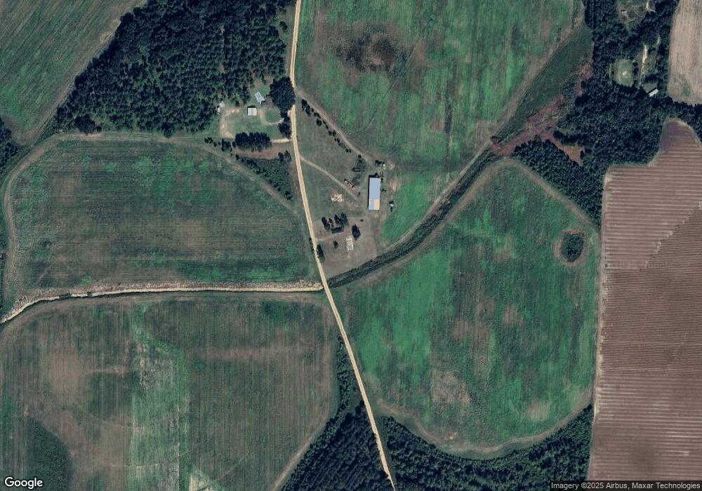
Map
Nearby Homes
- 745 Harmony Church Rd
- 74 Harmony Church Rd
- 1563 Ga Highway 27 N
- 113 Crooked Oak Ln
- 1545 Phillipsburg Rd
- 000 Phillipsburg Rd
- 300 N First St
- 210 N First St
- 157 E Pine St
- 570 E Pine St
- 2835 Georgia 91
- 356 E Main St
- US 27 Us Highway 27
- 102 Bremond St
- 7855 Joe Bryan St
- 430 Cox Rd
- Pullen Rd
- 000 Bellview Rd
- 000 Thompson Town Rd
- 708 E Crawford St
- 297 Old Damascus Rd
- 210 Old Damascus Rd
- 728 Harmony Church Rd
- 700 Harmony Church Rd
- 347 Old Damascus Rd
- 715 Harmony Church Rd
- 1258 Ga Highway 45 N
- 415 Old Damascus Rd
- 2875 County Line Rd
- 143 Haywood Rd
- 1075 Ga Highway 45 N
- 165 Old Damascus Rd
- 52 Clay Brown Rd
- 139 Haywood Rd
- 61 Rail Rd
- 41 Rail Rd
- 63 Rail Rd
- 1064 N 45 Hwy
- 1064 45
- 1064 Ga Highway 45 N