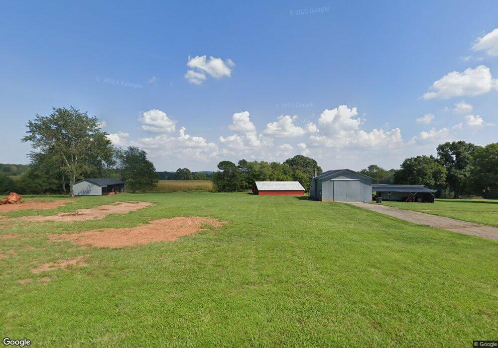
270 Pope Farm Rd Unit 276 Stony Point, NC 28678
Estimated Value: $296,000
2
Beds
1
Bath
1,025
Sq Ft
$289/Sq Ft
Est. Value
About This Home
This home is located at 270 Pope Farm Rd Unit 276, Stony Point, NC 28678 and is currently priced at $296,000, approximately $288 per square foot. 270 Pope Farm Rd Unit 276 is a home located in Iredell County with nearby schools including Sharon Elementary School, West Iredell Middle School, and West Iredell High School.
Ownership History
Date
Name
Owned For
Owner Type
Purchase Details
Closed on
Mar 31, 2000
Sold by
Caldwell Lester Eugene and Caldwell Betty Wyke
Bought by
Grimm Charles and Grimm Ginger
Current Estimated Value
Home Financials for this Owner
Home Financials are based on the most recent Mortgage that was taken out on this home.
Original Mortgage
$42,929
Outstanding Balance
$14,866
Interest Rate
8.38%
Mortgage Type
Purchase Money Mortgage
Purchase Details
Closed on
Nov 19, 1996
Sold by
Miller Forrest E
Bought by
Miller Sandra H
Purchase Details
Closed on
Aug 5, 1974
Sold by
Miller C E %Forest E Miller
Bought by
Miller Forrest E Heirs
Purchase Details
Closed on
Jun 1, 1901
Create a Home Valuation Report for This Property
The Home Valuation Report is an in-depth analysis detailing your home's value as well as a comparison with similar homes in the area
Home Values in the Area
Average Home Value in this Area
Purchase History
| Date | Buyer | Sale Price | Title Company |
|---|---|---|---|
| Grimm Charles | $45,000 | -- | |
| Miller Sandra H | -- | -- | |
| Miller Forrest E Heirs | -- | -- | |
| -- | -- | -- |
Source: Public Records
Mortgage History
| Date | Status | Borrower | Loan Amount |
|---|---|---|---|
| Open | Grimm Charles | $42,929 |
Source: Public Records
Tax History Compared to Growth
Tax History
| Year | Tax Paid | Tax Assessment Tax Assessment Total Assessment is a certain percentage of the fair market value that is determined by local assessors to be the total taxable value of land and additions on the property. | Land | Improvement |
|---|---|---|---|---|
| 2021 | $3,807 | $588,870 | $545,400 | $43,470 |
| 2020 | $3,807 | $588,870 | $545,400 | $43,470 |
| 2019 | $3,748 | $588,870 | $545,400 | $43,470 |
| 2018 | $3,622 | $588,800 | $545,400 | $43,400 |
| 2017 | $917 | $588,800 | $545,400 | $43,400 |
| 2016 | $917 | $588,800 | $545,400 | $43,400 |
| 2015 | $902 | $588,800 | $545,400 | $43,400 |
| 2014 | -- | $592,380 | $545,400 | $46,980 |
Source: Public Records
Map
Nearby Homes
- 1834 Island Ford Rd
- 230 Mock Mill Rd
- 214 Mock Mill Rd
- 462 Mock Mill Rd
- 152 Colonial Heights Ln
- 126 Top Flite Dr
- 163 Whitney Ln
- 112 Robinette Ln
- 0 Lippard Farm Rd
- 127 Walnut Tree Rd
- 129 Broken Arrow Dr Unit 2
- 153 Larue Cir
- 368 Lippard Farm Rd
- 138 Broken Arrow Dr
- 148 Broken Arrow Dr
- 268 Broken Arrow Dr
- 3662 Hickory Hwy
- 260 Broken Arrow Dr
- 160 Sharpe Farm Dr
- 110 Little Valley Ln
- 276 Pope Farm Rd
- 271 Pope Farm Rd
- 256 Pope Farm Rd
- 232 Pope Farm Rd
- 231 Pope Farm Rd Unit 235
- 225 Pope Farm Rd
- 217 Pope Farm Rd
- 213 Pope Farm Rd
- 193 Pope Farm Rd
- 1802 Island Ford Rd
- 150 Sportsman Dr
- 175 Wilhelm Ln
- 1728 Island Ford Rd
- 1712 Island Ford Rd
- 1719 Island Ford Rd
- 133 Sportsman Dr
- 153 Wilhelm Ln
- 131 Wilhelm Ln
- 175 Old Miller Rd
- 1735 Island Ford Rd