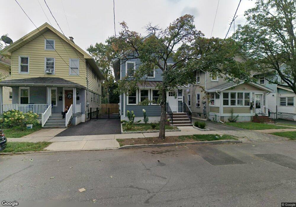
270 Powers St New Brunswick, NJ 08901
Estimated Value: $367,000 - $562,000
3
Beds
3
Baths
1,600
Sq Ft
$279/Sq Ft
Est. Value
About This Home
This home is located at 270 Powers St, New Brunswick, NJ 08901 and is currently estimated at $447,100, approximately $279 per square foot. 270 Powers St is a home located in Middlesex County with nearby schools including New Brunswick High School, Central Jersey College Prep Charter School, and St. Mary of Mount Virgin School.
Ownership History
Date
Name
Owned For
Owner Type
Purchase Details
Closed on
Sep 14, 2023
Sold by
Hicks Brenda J
Bought by
New Brunswick Tomorrow
Current Estimated Value
Home Financials for this Owner
Home Financials are based on the most recent Mortgage that was taken out on this home.
Original Mortgage
$1,000,000
Outstanding Balance
$978,791
Interest Rate
6.96%
Mortgage Type
Construction
Estimated Equity
-$531,691
Create a Home Valuation Report for This Property
The Home Valuation Report is an in-depth analysis detailing your home's value as well as a comparison with similar homes in the area
Home Values in the Area
Average Home Value in this Area
Purchase History
| Date | Buyer | Sale Price | Title Company |
|---|---|---|---|
| New Brunswick Tomorrow | $490,000 | Capital Title | |
| New Brunswick Tomorrow | $490,000 | Capital Title |
Source: Public Records
Mortgage History
| Date | Status | Borrower | Loan Amount |
|---|---|---|---|
| Open | New Brunswick Tomorrow | $1,000,000 | |
| Closed | New Brunswick Tomorrow | $1,000,000 |
Source: Public Records
Tax History Compared to Growth
Tax History
| Year | Tax Paid | Tax Assessment Tax Assessment Total Assessment is a certain percentage of the fair market value that is determined by local assessors to be the total taxable value of land and additions on the property. | Land | Improvement |
|---|---|---|---|---|
| 2025 | $6,092 | $232,600 | $84,000 | $148,600 |
| 2024 | $5,665 | $232,600 | $84,000 | $148,600 |
| 2023 | $5,665 | $232,600 | $84,000 | $148,600 |
| 2022 | $5,539 | $232,600 | $84,000 | $148,600 |
| 2021 | $4,107 | $232,600 | $84,000 | $148,600 |
| 2020 | $5,495 | $232,600 | $84,000 | $148,600 |
| 2019 | $5,386 | $232,600 | $84,000 | $148,600 |
| 2018 | $5,258 | $232,600 | $84,000 | $148,600 |
| 2017 | $5,039 | $232,600 | $84,000 | $148,600 |
| 2016 | $5,561 | $94,800 | $25,200 | $69,600 |
| 2015 | $5,178 | $94,800 | $25,200 | $69,600 |
| 2014 | $5,082 | $94,800 | $25,200 | $69,600 |
Source: Public Records
Map
Nearby Homes
- 294 Howard St
- 11 Edgeworth Place
- 14 Edgeworth Place
- 130 Joyce Kilmer Ave
- 375 Delavan St
- 114 Joyce Kilmer Ave
- 47 Jersey Ave
- 158 Lee Ave
- 25 Rutgers St
- 163 Livingston Ave
- 200 Talmadge St
- 267 Handy St
- 201 Fulton St
- 264 Seaman St
- 216 Handy St
- 184 Lawrence St
- 340 Livingston Ave
- 40 Simplex Ave
- 8 James St
- 357 Somerset St
- 272 Powers St
- 268 Powers St
- 274 Powers St
- 266 Powers St
- 276 Powers St
- 264 Powers St
- 297 Howard St
- 299 Howard St
- 301 Howard St
- 278 Powers St
- 289 Howard St
- 195 Joyce Kilmer Ave
- 299 Powers St
- 303 Howard St
- 181 Joyce Kilmer Ave
- 183 Joyce Kilmer Ave
- 301 Powers St
- 293 Powers St
- 187 Joyce Kilmer Ave
- 291 Powers St