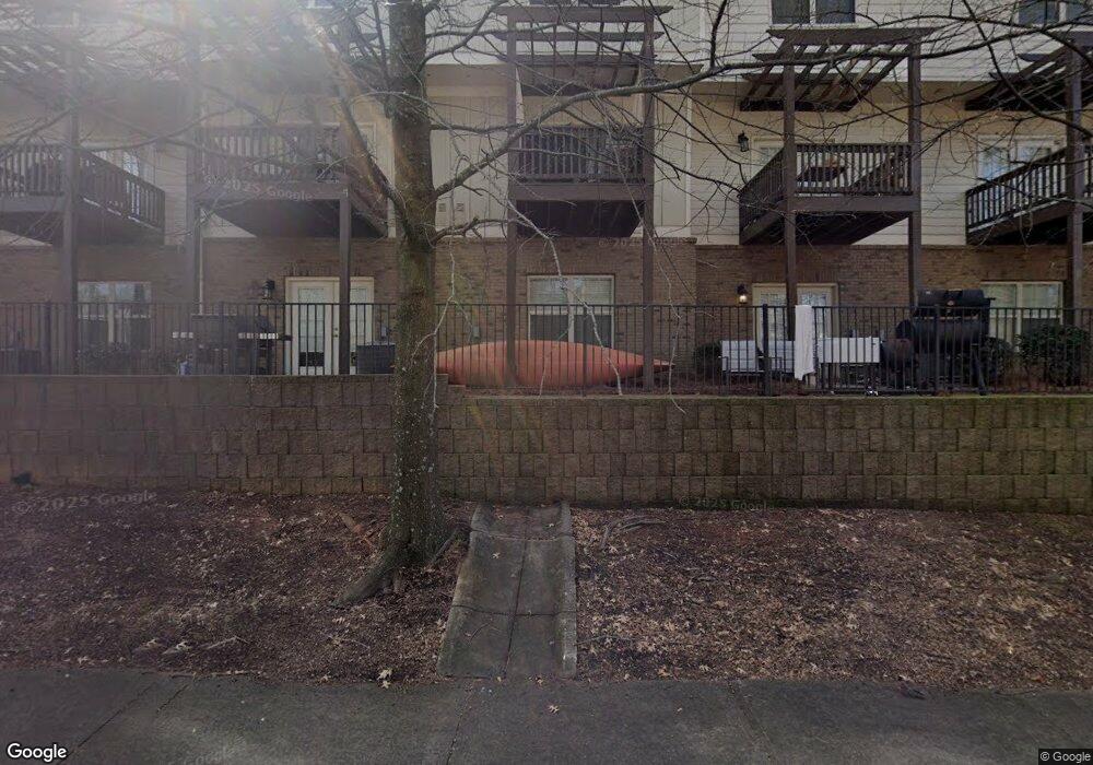
270 Strickland Ave Athens, GA 30601
North Avenue NeighborhoodEstimated Value: $211,000 - $646,000
--
Bed
2
Baths
1,120
Sq Ft
$301/Sq Ft
Est. Value
About This Home
This home is located at 270 Strickland Ave, Athens, GA 30601 and is currently estimated at $337,390, approximately $301 per square foot. 270 Strickland Ave is a home located in Clarke County with nearby schools including Howard B. Stroud Elementary School, Coile Middle School, and Cedar Shoals High School.
Ownership History
Date
Name
Owned For
Owner Type
Purchase Details
Closed on
Jun 13, 2018
Sold by
Centurion Investments Llc
Bought by
Centurion Enclave Llc
Current Estimated Value
Purchase Details
Closed on
May 11, 2017
Sold by
Not Provided
Bought by
Centurion Investments Llc
Purchase Details
Closed on
Feb 8, 2008
Sold by
Not Provided
Bought by
Roswell Holdings Mortgage Llc
Purchase Details
Closed on
Jul 18, 2006
Sold by
Not Provided
Bought by
Roswell Holdings Mortgage Llc
Purchase Details
Closed on
Jan 11, 2006
Sold by
Not Provided
Bought by
Roswell Holdings Mortgage Llc
Create a Home Valuation Report for This Property
The Home Valuation Report is an in-depth analysis detailing your home's value as well as a comparison with similar homes in the area
Home Values in the Area
Average Home Value in this Area
Purchase History
| Date | Buyer | Sale Price | Title Company |
|---|---|---|---|
| Centurion Enclave Llc | -- | -- | |
| Centurion Investments Llc | $1,375,000 | -- | |
| Roswell Holdings Mortgage Llc | -- | -- | |
| Roswell Holdings Mortgage Llc | -- | -- | |
| Roswell Holdings Mortgage Llc | $100,000 | -- |
Source: Public Records
Tax History Compared to Growth
Tax History
| Year | Tax Paid | Tax Assessment Tax Assessment Total Assessment is a certain percentage of the fair market value that is determined by local assessors to be the total taxable value of land and additions on the property. | Land | Improvement |
|---|---|---|---|---|
| 2024 | $2,349 | $75,158 | $8,000 | $67,158 |
| 2023 | $2,349 | $67,449 | $8,000 | $59,449 |
| 2022 | $1,842 | $57,757 | $8,000 | $49,757 |
| 2021 | $1,510 | $44,800 | $8,000 | $36,800 |
| 2020 | $1,312 | $38,924 | $8,000 | $30,924 |
| 2019 | $1,087 | $32,028 | $8,000 | $24,028 |
| 2018 | $934 | $29,120 | $8,000 | $21,120 |
| 2017 | $997 | $29,360 | $8,000 | $21,360 |
| 2016 | $871 | $25,657 | $8,000 | $17,657 |
| 2015 | $873 | $25,680 | $8,000 | $17,680 |
| 2014 | $844 | $24,797 | $8,000 | $16,797 |
Source: Public Records
Map
Nearby Homes
- 472 First St
- 560 Rosa Nell Howard St
- 278 Fourth St
- 320 First St
- 318 First St
- 198 Flint St
- 211 North Ave Unit 1224
- 211 North Ave Unit 1122
- 178 First St
- 205 Northcrest Dr
- 170 Northcrest Dr
- 264 Moreland Ave
- 188 Booker St
- 549 N Peter St
- 165 Vine St
- 1295 E Broad St Unit C-1
- 1295 E Broad St Unit C1
- 226 Vine St
- 132 N Poplar St
- 235 Arch St
- 270 Strickland Ave
- 270 Strickland Ave
- 270 Strickland Ave
- 270 Strickland Ave
- 270 Strickland Ave
- 270 Strickland Ave
- 270 Strickland Ave
- 270 Strickland Ave
- 270 Strickland Ave
- 270 Strickland Ave
- 270 Strickland Ave
- 270 Strickland Ave
- 270 Strickland Ave
- 270 Strickland Ave
- 270 Strickland Ave
- 270 Strickland Ave
- 270 Strickland Ave
- 270 Strickland Ave
- 270 Strickland Ave
- 270 Strickland Ave