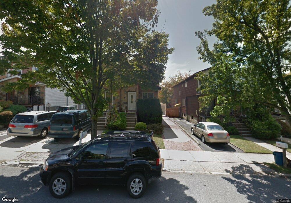
270 Travis Ave Staten Island, NY 10314
New Springville NeighborhoodEstimated Value: $695,961 - $839,000
--
Bed
4
Baths
1,700
Sq Ft
$463/Sq Ft
Est. Value
About This Home
This home is located at 270 Travis Ave, Staten Island, NY 10314 and is currently estimated at $787,240, approximately $463 per square foot. 270 Travis Ave is a home located in Richmond County with nearby schools including P.S. 69 - Daniel D. Tompkins, Is 72 Rocco Laurie, and Susan E Wagner High School.
Ownership History
Date
Name
Owned For
Owner Type
Purchase Details
Closed on
Jul 3, 2001
Sold by
Nusbaum Ariey and Nusbaum Bracha
Bought by
Owens Beth S and Owens Troy M
Current Estimated Value
Home Financials for this Owner
Home Financials are based on the most recent Mortgage that was taken out on this home.
Original Mortgage
$210,000
Interest Rate
7.14%
Mortgage Type
Purchase Money Mortgage
Create a Home Valuation Report for This Property
The Home Valuation Report is an in-depth analysis detailing your home's value as well as a comparison with similar homes in the area
Home Values in the Area
Average Home Value in this Area
Purchase History
| Date | Buyer | Sale Price | Title Company |
|---|---|---|---|
| Owens Beth S | $300,000 | -- |
Source: Public Records
Mortgage History
| Date | Status | Borrower | Loan Amount |
|---|---|---|---|
| Previous Owner | Owens Beth S | $210,000 |
Source: Public Records
Tax History Compared to Growth
Tax History
| Year | Tax Paid | Tax Assessment Tax Assessment Total Assessment is a certain percentage of the fair market value that is determined by local assessors to be the total taxable value of land and additions on the property. | Land | Improvement |
|---|---|---|---|---|
| 2025 | $6,555 | $46,020 | $7,103 | $38,917 |
| 2024 | $6,567 | $40,620 | $7,592 | $33,028 |
| 2023 | $6,467 | $33,242 | $7,458 | $25,784 |
| 2022 | $5,992 | $40,260 | $9,060 | $31,200 |
| 2021 | $6,274 | $33,840 | $9,060 | $24,780 |
| 2020 | $6,068 | $33,420 | $9,060 | $24,360 |
| 2019 | $5,641 | $30,480 | $9,060 | $21,420 |
| 2018 | $5,349 | $27,702 | $8,400 | $19,302 |
| 2017 | $5,043 | $26,209 | $8,077 | $18,132 |
| 2016 | $4,896 | $26,043 | $8,457 | $17,586 |
| 2015 | $4,231 | $25,056 | $8,143 | $16,913 |
| 2014 | $4,231 | $23,638 | $8,579 | $15,059 |
Source: Public Records
Map
Nearby Homes
- 507 Klondike Ave
- 41 Furness Place
- 86 Evans St
- 44 McVeigh Ave
- 9 Furness Place
- 23 Bangor St
- 72 Bangor St
- 22 Braisted Ave
- 110 Lewiston St
- 343 Travis Ave
- 101 McVeigh Ave
- 45 Braisted Ave
- 107 Denker Place
- 4 Bangor St
- 81 Fraser St
- 143 Monahan Ave
- 186 Monahan Ave
- 63 Monahan Ave
- 190 Monahan Ave
- 49 Lewiston St
- 268 Travis Ave
- 272 Travis Ave
- 266 Travis Ave
- 274 Travis Ave
- 264 Travis Ave
- 276 Travis Ave
- 262 Travis Ave
- 278 Travis Ave
- 260 Travis Ave
- 280 Travis Ave
- 471 Klondike Ave
- 230 Travis Ave
- 473 Klondike Ave
- 282 Travis Ave
- 467 Klondike Ave
- 465 Klondike Ave
- 477 Klondike Ave
- 220 Travis Ave
- 284 Travis Ave
- 461 Klondike Ave
