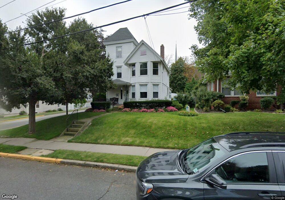
270 Walter Ave Hasbrouck Heights, NJ 07604
Estimated Value: $624,410 - $737,000
--
Bed
--
Bath
1,788
Sq Ft
$380/Sq Ft
Est. Value
About This Home
This home is located at 270 Walter Ave, Hasbrouck Heights, NJ 07604 and is currently estimated at $679,853, approximately $380 per square foot. 270 Walter Ave is a home located in Bergen County with nearby schools including Hasbrouck Heights High School and Corpus Christi School.
Ownership History
Date
Name
Owned For
Owner Type
Purchase Details
Closed on
Jun 16, 2016
Sold by
Niekrewicz Michael and Niekrewicz Mary Ann
Bought by
Niekrewicz Michael
Current Estimated Value
Create a Home Valuation Report for This Property
The Home Valuation Report is an in-depth analysis detailing your home's value as well as a comparison with similar homes in the area
Home Values in the Area
Average Home Value in this Area
Purchase History
| Date | Buyer | Sale Price | Title Company |
|---|---|---|---|
| Niekrewicz Michael | -- | Attorney |
Source: Public Records
Tax History Compared to Growth
Tax History
| Year | Tax Paid | Tax Assessment Tax Assessment Total Assessment is a certain percentage of the fair market value that is determined by local assessors to be the total taxable value of land and additions on the property. | Land | Improvement |
|---|---|---|---|---|
| 2025 | $11,950 | $467,700 | $227,900 | $239,800 |
| 2024 | $11,553 | $467,700 | $227,900 | $239,800 |
| 2023 | $11,207 | $448,300 | $217,900 | $230,400 |
| 2022 | $11,207 | $416,300 | $197,900 | $218,400 |
| 2021 | $10,872 | $385,000 | $185,400 | $199,600 |
| 2020 | $11,078 | $385,200 | $175,400 | $209,800 |
| 2019 | $10,765 | $378,400 | $172,900 | $205,500 |
| 2018 | $10,598 | $371,600 | $170,400 | $201,200 |
| 2017 | $10,419 | $364,800 | $167,900 | $196,900 |
| 2016 | $10,462 | $344,700 | $157,900 | $186,800 |
| 2015 | $10,293 | $344,700 | $157,900 | $186,800 |
| 2014 | $10,010 | $344,700 | $157,900 | $186,800 |
Source: Public Records
Map
Nearby Homes
- 417 Franklin Ave
- 208 Jefferson Ave
- 243 Cleveland Ave
- 444 Washington Place
- 18 Hasbrouck Ave
- 311 Harrison Ave
- 48 Hasbrouck Ave
- 8800 Boulevard Unit 5F
- 8800 Boulevard Unit 7K
- 8800 Boulevard Unit 4B
- 110 Harrison Ave
- 74 Kipp Ave
- 38 Springfield Ave
- 2 Passaic Ave
- 35 Franklin Ave
- 233 Lasalle Ave
- 30 Woodside Ave
- 14 Jefferson Ave Unit 16
- 420 Innes Rd
- 432 Innes Rd
- 266 Walter Ave
- 302 Walter Ave
- 262 Walter Ave
- 304 Walter Ave
- 269 Walter Ave
- 263 Walter Ave
- 84 Burton Ave
- 254 Walter Ave
- 305 Division Ave
- 310 Walter Ave
- 257 Walter Ave
- 255 Division Ave
- 307 Walter Ave
- 311 Division Ave
- 250 Walter Ave
- 314 Walter Ave
- 253 Walter Ave
- 311 Walter Ave
- 251 Division Ave
- 270 Hamilton Ave