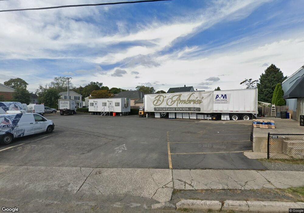
270 West Ave Long Branch, NJ 07740
Estimated Value: $780,000 - $933,355
--
Bed
--
Bath
--
Sq Ft
0.35
Acres
About This Home
This home is located at 270 West Ave, Long Branch, NJ 07740 and is currently estimated at $845,339. 270 West Ave is a home located in Monmouth County with nearby schools including Long Branch High School, Holy Trinity School, and Bet Yaakov of the Jersey Shore.
Ownership History
Date
Name
Owned For
Owner Type
Purchase Details
Closed on
Oct 7, 2019
Sold by
Pineapple Inc
Bought by
Pinecapple Inc
Current Estimated Value
Home Financials for this Owner
Home Financials are based on the most recent Mortgage that was taken out on this home.
Original Mortgage
$300,000
Outstanding Balance
$262,274
Interest Rate
3.4%
Mortgage Type
Commercial
Estimated Equity
$583,065
Create a Home Valuation Report for This Property
The Home Valuation Report is an in-depth analysis detailing your home's value as well as a comparison with similar homes in the area
Home Values in the Area
Average Home Value in this Area
Purchase History
| Date | Buyer | Sale Price | Title Company |
|---|---|---|---|
| Pinecapple Inc | -- | Scott Title Services Llc |
Source: Public Records
Mortgage History
| Date | Status | Borrower | Loan Amount |
|---|---|---|---|
| Open | Pinecapple Inc | $300,000 |
Source: Public Records
Tax History Compared to Growth
Tax History
| Year | Tax Paid | Tax Assessment Tax Assessment Total Assessment is a certain percentage of the fair market value that is determined by local assessors to be the total taxable value of land and additions on the property. | Land | Improvement |
|---|---|---|---|---|
| 2025 | $10,127 | $736,900 | $700,000 | $36,900 |
| 2024 | $10,053 | $658,900 | $623,600 | $35,300 |
| 2023 | $10,053 | $647,300 | $613,600 | $33,700 |
| 2022 | $9,321 | $477,700 | $448,000 | $29,700 |
| 2021 | $9,321 | $465,800 | $438,000 | $27,800 |
| 2020 | $9,752 | $466,600 | $439,000 | $27,600 |
| 2019 | $9,676 | $460,300 | $434,000 | $26,300 |
| 2018 | $9,627 | $455,400 | $430,000 | $25,400 |
| 2017 | $9,334 | $452,900 | $428,000 | $24,900 |
| 2016 | $9,139 | $452,200 | $428,000 | $24,200 |
| 2015 | $11,309 | $507,800 | $483,600 | $24,200 |
| 2014 | $11,687 | $553,100 | $531,600 | $21,500 |
Source: Public Records
Map
Nearby Homes
- 215 Cleveland Ave
- 303 Westwood Ave
- 237 3rd Ave Unit 1-4
- 298 Poole Ave
- 364 Westwood Ave Unit 39
- 364 Westwood Ave Unit 71
- 364 Westwood Ave Unit 21
- 377 Westwood Ave
- 12 Coral Place
- 12 Seashore Dr
- 11 Seashore Dr
- 8 Seashore Dr
- 14 Seashore Dr
- 170 Franklin Ave
- 168 Franklin Ave
- 2 Seashore Dr
- 158 Franklin Ave
- 152 Franklin Ave
- 150 Franklin Ave Unit 5
- 61 Pavilion Ave
- 213 Cleveland Ave
- 217 Cleveland Ave
- 212 Cleveland Ave
- 221 Cleveland Ave
- 216 Cleveland Ave
- 264 West Ave
- 225 Cleveland Ave
- 220 Cleveland Ave
- 228 Cleveland Ave
- 275 Westwood Ave
- 283 Westwood Ave
- 287 Westwood Ave Unit C
- 287 Westwood Ave
- 271 Westwood Ave
- 295 Westwood Ave
- 295 Westwood Ave Unit 4
- 295 Westwood Ave Unit 2
- 295 Westwood Ave Unit 3
- 267 Westwood Ave
- 245 Bath Ave