2700 Airport Rd Metter, GA 30439
Estimated Value: $254,000 - $522,355
4
Beds
3
Baths
4,458
Sq Ft
$87/Sq Ft
Est. Value
About This Home
This home is located at 2700 Airport Rd, Metter, GA 30439 and is currently estimated at $388,178, approximately $87 per square foot. 2700 Airport Rd is a home located in Candler County with nearby schools including Metter Elementary School, Metter Intermediate School, and Metter Middle School.
Ownership History
Date
Name
Owned For
Owner Type
Purchase Details
Closed on
Sep 26, 2022
Sold by
Canoochee River Rv Resort Llc
Bought by
Canoochee River Rv Resort Llc and Release Properties Llc
Current Estimated Value
Purchase Details
Closed on
Jan 4, 2021
Sold by
Shelar Victoria Dawn
Bought by
Canoochee River Rv Resort Llc
Purchase Details
Closed on
Jun 13, 2000
Sold by
Carper Terry
Bought by
Carper Terry
Purchase Details
Closed on
Jun 4, 1996
Sold by
Swart James Sr Est
Bought by
Carper Terry
Purchase Details
Closed on
Jan 1, 1977
Sold by
Fortner Mildred
Bought by
Carper Terry
Purchase Details
Closed on
Apr 1, 1975
Bought by
Fortner Mildred
Create a Home Valuation Report for This Property
The Home Valuation Report is an in-depth analysis detailing your home's value as well as a comparison with similar homes in the area
Home Values in the Area
Average Home Value in this Area
Purchase History
| Date | Buyer | Sale Price | Title Company |
|---|---|---|---|
| Canoochee River Rv Resort Llc | $1,500,000 | -- | |
| Canoochee River Rv Resort Llc | $1,450,000 | -- | |
| Carper Terry | -- | -- | |
| Carper Terry | $300,000 | -- | |
| Carper Terry | -- | -- | |
| Fortner Mildred | $9,400 | -- |
Source: Public Records
Tax History Compared to Growth
Tax History
| Year | Tax Paid | Tax Assessment Tax Assessment Total Assessment is a certain percentage of the fair market value that is determined by local assessors to be the total taxable value of land and additions on the property. | Land | Improvement |
|---|---|---|---|---|
| 2024 | $5,832 | $174,178 | $19,290 | $154,888 |
| 2023 | $5,557 | $175,168 | $19,290 | $155,878 |
| 2022 | $4,068 | $135,010 | $19,290 | $115,720 |
| 2021 | $3,581 | $120,612 | $19,290 | $101,322 |
| 2020 | $3,324 | $110,832 | $9,510 | $101,322 |
| 2019 | $3,584 | $119,938 | $9,510 | $110,428 |
| 2018 | $3,927 | $140,970 | $9,944 | $131,026 |
| 2017 | $3,688 | $140,970 | $9,944 | $131,026 |
Source: Public Records
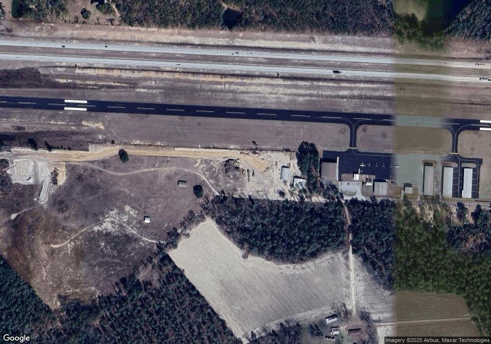
Map
Nearby Homes
- 286 Webb Cir
- 0 Oak Tree Rd Unit (31.62 AC) 10490874
- 430 Preston St
- 405 Preston St
- 550 S Rountree St
- 450 S Rountree St
- 360 S Kennedy St
- 221 S College St
- 405 S Leroy St
- 365 S Leroy St
- 295 S Lewis St
- 250 S Lewis St
- 0 Central Ave Unit 10628403
- 40 Hickory St
- 465 Cedar St
- 6424 Collins Rd
- 170 Foxridge Ct
- 160 Foxridge Ct
- 0 Hulsey Dr
- 0 Hulsey Dr Unit 10656930
- 2591 Airport Rd
- 2700 Airport Rd and I 16
- 5698 Webb Cir
- 5801 Leslie Rd
- 5897 Webb Cir
- 5414 Webb Cir
- 2673 Airport Rd
- 5026 Webb Cir
- 990 Fortner Rd
- 4894 Webb Cir
- 349 Airport Rd
- 5025 Webb Cir
- 4561 Webb Cir
- 5671 Leslie Rd
- 350 Webb Cir
- 32438 Ga Highway 121 S
- 689 Webb Cir
- 4689 Leslie Rd
- 0 Oak Tree Rd (31 62 Ac)
- 3981 Webb Cir