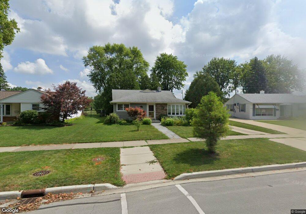
2700 Cardinal Dr Unit 7 Rolling Meadows, IL 60008
Estimated Value: $399,154 - $418,000
4
Beds
2
Baths
1,518
Sq Ft
$269/Sq Ft
Est. Value
About This Home
This home is located at 2700 Cardinal Dr Unit 7, Rolling Meadows, IL 60008 and is currently estimated at $408,789, approximately $269 per square foot. 2700 Cardinal Dr Unit 7 is a home located in Cook County with nearby schools including Kimball Hill Elementary School, Carl Sandburg Junior High School, and Rolling Meadows High School.
Ownership History
Date
Name
Owned For
Owner Type
Purchase Details
Closed on
Oct 9, 2004
Sold by
Ewald Doris M
Bought by
Gunter Robert and Gunter Theresa A
Current Estimated Value
Home Financials for this Owner
Home Financials are based on the most recent Mortgage that was taken out on this home.
Original Mortgage
$299,500
Outstanding Balance
$145,592
Interest Rate
5.81%
Mortgage Type
Unknown
Estimated Equity
$263,197
Purchase Details
Closed on
Sep 3, 1996
Sold by
Ewald Ronald F and Ewald Doris M
Bought by
Ewald Doris M and Doris M Ewald Revocable Living Trust
Create a Home Valuation Report for This Property
The Home Valuation Report is an in-depth analysis detailing your home's value as well as a comparison with similar homes in the area
Home Values in the Area
Average Home Value in this Area
Purchase History
| Date | Buyer | Sale Price | Title Company |
|---|---|---|---|
| Gunter Robert | $305,000 | Ticor | |
| Ewald Doris M | -- | -- |
Source: Public Records
Mortgage History
| Date | Status | Borrower | Loan Amount |
|---|---|---|---|
| Open | Gunter Robert | $299,500 |
Source: Public Records
Tax History
| Year | Tax Paid | Tax Assessment Tax Assessment Total Assessment is a certain percentage of the fair market value that is determined by local assessors to be the total taxable value of land and additions on the property. | Land | Improvement |
|---|---|---|---|---|
| 2025 | $5,228 | $35,000 | $6,761 | $28,239 |
| 2024 | $5,228 | $31,000 | $5,721 | $25,279 |
| 2023 | $5,165 | $31,000 | $5,721 | $25,279 |
| 2022 | $5,165 | $31,000 | $5,721 | $25,279 |
| 2021 | $5,454 | $23,130 | $3,380 | $19,750 |
| 2020 | $5,674 | $23,130 | $3,380 | $19,750 |
| 2019 | $5,723 | $25,844 | $3,380 | $22,464 |
| 2018 | $6,471 | $26,163 | $3,120 | $23,043 |
| 2017 | $6,374 | $26,163 | $3,120 | $23,043 |
| 2016 | $6,468 | $26,163 | $3,120 | $23,043 |
| 2015 | $6,431 | $23,049 | $2,860 | $20,189 |
| 2014 | $6,294 | $23,049 | $2,860 | $20,189 |
| 2013 | $6,125 | $23,049 | $2,860 | $20,189 |
Source: Public Records
Map
Nearby Homes
- 2302 Flicker Ln
- 3265 Kirchoff Rd Unit 116
- 3100 Town Square Dr Unit 308
- 3100 Town Square Dr Unit 204
- 2705 Park St
- 2401 Rohlwing Rd
- 3135 Town Square Dr Unit 401
- 3135 Town Square Dr Unit 104
- 3345 Kirchoff Rd Unit 5C
- 3306 Trillium Cir Unit 3001
- 3209 Trillium Cir
- 2709 Lily Ln
- 3200 Thrush Ln
- 2600 Brookwood Way Dr Unit 316
- 2600 Brookwood Way Dr Unit 305
- 2650 Brookwood Way Dr Unit 313
- 2650 Brookwood Way Dr Unit 108
- 3 Holyoke on Auburn
- 304 E Tall Trees Ln
- 399 Knollwood Ct
- 2610 Cardinal Dr
- 2702 Cardinal Dr
- 2608 Cardinal Dr
- 2704 Cardinal Dr
- 2606 Cardinal Dr
- 2701 Cardinal Dr
- 3401 Sigwalt St
- 2703 Cardinal Dr
- 2602 Cardinal Dr
- 2605 Cardinal Dr
- 3402 Sigwalt St
- 3403 Sigwalt St
- 2705 Cardinal Dr
- 2603 Cardinal Dr
- 3309 Campbell St
- 3404 Sigwalt St
- 3405 Sigwalt St
- 2801 Cardinal Dr
- 2800 Cardinal Dr
- 3401 Campbell St
Your Personal Tour Guide
Ask me questions while you tour the home.