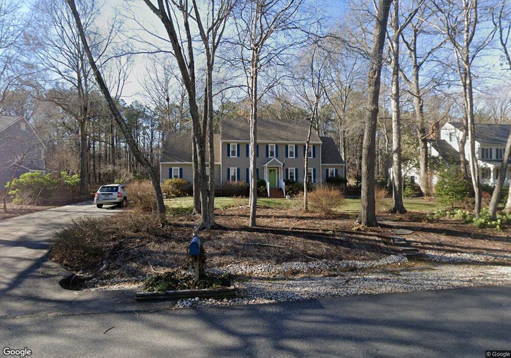
2700 Chartstone Dr Midlothian, VA 23113
Roxshire NeighborhoodEstimated Value: $654,000 - $738,114
4
Beds
4
Baths
3,626
Sq Ft
$197/Sq Ft
Est. Value
About This Home
This home is located at 2700 Chartstone Dr, Midlothian, VA 23113 and is currently estimated at $713,029, approximately $196 per square foot. 2700 Chartstone Dr is a home located in Chesterfield County with nearby schools including Robious Elementary School, Robious Middle School, and James River High School.
Ownership History
Date
Name
Owned For
Owner Type
Purchase Details
Closed on
Mar 25, 2002
Bought by
Nahstoll Richard L and Nahstoll Dana D
Current Estimated Value
Home Financials for this Owner
Home Financials are based on the most recent Mortgage that was taken out on this home.
Original Mortgage
$210,000
Outstanding Balance
$86,796
Interest Rate
6.91%
Mortgage Type
New Conventional
Estimated Equity
$626,233
Purchase Details
Closed on
Dec 19, 2001
Sold by
Mccarthy Paul B
Bought by
Nahstoll Richard L and Nahstoll Dana D
Create a Home Valuation Report for This Property
The Home Valuation Report is an in-depth analysis detailing your home's value as well as a comparison with similar homes in the area
Home Values in the Area
Average Home Value in this Area
Purchase History
| Date | Buyer | Sale Price | Title Company |
|---|---|---|---|
| Nahstoll Richard L | -- | -- | |
| Nahstoll Richard L | $264,000 | -- |
Source: Public Records
Mortgage History
| Date | Status | Borrower | Loan Amount |
|---|---|---|---|
| Open | Nahstoll Richard L | $210,000 |
Source: Public Records
Tax History
| Year | Tax Paid | Tax Assessment Tax Assessment Total Assessment is a certain percentage of the fair market value that is determined by local assessors to be the total taxable value of land and additions on the property. | Land | Improvement |
|---|---|---|---|---|
| 2025 | $5,865 | $656,200 | $145,000 | $511,200 |
| 2024 | $5,865 | $616,900 | $135,000 | $481,900 |
| 2023 | $4,770 | $524,200 | $125,000 | $399,200 |
| 2022 | $4,462 | $485,000 | $115,000 | $370,000 |
| 2021 | $4,220 | $437,300 | $104,000 | $333,300 |
| 2020 | $3,996 | $420,600 | $104,000 | $316,600 |
| 2019 | $3,967 | $417,600 | $101,000 | $316,600 |
| 2018 | $3,819 | $402,000 | $99,000 | $303,000 |
| 2017 | $3,840 | $400,000 | $97,000 | $303,000 |
| 2016 | $3,824 | $398,300 | $97,000 | $301,300 |
| 2015 | $3,772 | $390,300 | $89,000 | $301,300 |
| 2014 | $3,624 | $374,900 | $82,000 | $292,900 |
Source: Public Records
Map
Nearby Homes
- 12901 River Hills Dr
- 2940 River Hills Ln
- 13111 Powderham Ln
- 13155 Sodbury Dr
- 2101 Normandstone Dr
- 12213 Capwell Dr
- 3107 Handley Rd
- 12111 Framar Dr
- 13637 Langford Dr
- 2303 Bream Dr
- 3519 Highbridge Dr
- 12813 Yatesbury Ln
- 3030 Mount Hill Dr
- 12212 Deerhurst Dr
- 1860 Glamorgan Ln
- 2540 Kentford Rd
- 4001 Bircham Loop
- 3628 Seaford Crossing Dr
- 12505 Mandolin Dr
- 11803 N Briar Patch Dr
- 2640 Chartstone Dr
- 2710 Chartstone Dr
- 2769 Salisbury Rd
- 2779 Salisbury Rd
- 12850 Foxstone Rd
- 2630 Chartstone Dr
- 2720 Chartstone Dr
- 2721 Chartstone Dr
- 2759 Salisbury Rd
- 2789 Salisbury Rd
- 2620 Chartstone Dr
- 12851 Foxstone Rd
- 2730 Chartstone Dr
- 2741 Chartstone Dr
- 2749 Salisbury Rd
- 12841 Foxstone Rd
- 2801 Salisbury Rd
- 2610 Chartstone Dr
- 2770 Salisbury Rd
- 12820 Foxstone Rd
Your Personal Tour Guide
Ask me questions while you tour the home.