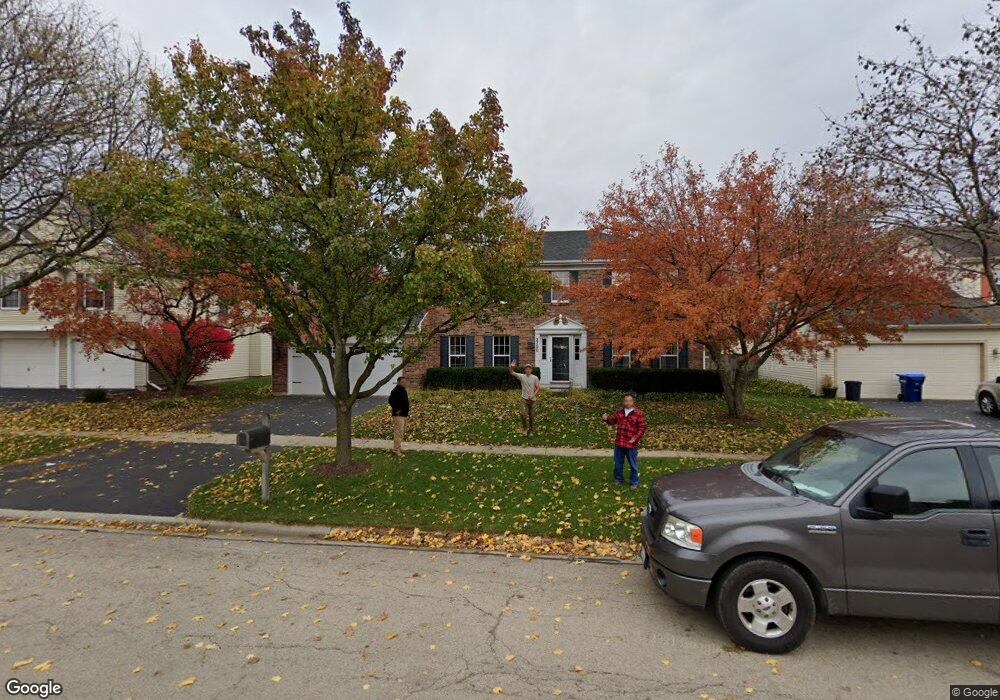
2700 Fargo Blvd Unit 2 Geneva, IL 60134
Southwest Geneva NeighborhoodEstimated Value: $450,000 - $534,000
3
Beds
3
Baths
2,388
Sq Ft
$205/Sq Ft
Est. Value
About This Home
This home is located at 2700 Fargo Blvd Unit 2, Geneva, IL 60134 and is currently estimated at $489,835, approximately $205 per square foot. 2700 Fargo Blvd Unit 2 is a home located in Kane County with nearby schools including Williamsburg Elementary School, Geneva Community High School, and St. Peter School.
Ownership History
Date
Name
Owned For
Owner Type
Purchase Details
Closed on
Oct 27, 1994
Sold by
Patterson Michael R and Knee Theresa M
Bought by
Massoth Michael P and Massoth Mary L
Current Estimated Value
Home Financials for this Owner
Home Financials are based on the most recent Mortgage that was taken out on this home.
Original Mortgage
$188,500
Interest Rate
8%
Create a Home Valuation Report for This Property
The Home Valuation Report is an in-depth analysis detailing your home's value as well as a comparison with similar homes in the area
Home Values in the Area
Average Home Value in this Area
Purchase History
| Date | Buyer | Sale Price | Title Company |
|---|---|---|---|
| Massoth Michael P | $218,500 | 1St American Title |
Source: Public Records
Mortgage History
| Date | Status | Borrower | Loan Amount |
|---|---|---|---|
| Closed | Massoth Michael P | $188,500 |
Source: Public Records
Tax History Compared to Growth
Tax History
| Year | Tax Paid | Tax Assessment Tax Assessment Total Assessment is a certain percentage of the fair market value that is determined by local assessors to be the total taxable value of land and additions on the property. | Land | Improvement |
|---|---|---|---|---|
| 2024 | $10,224 | $141,335 | $33,506 | $107,829 |
| 2023 | $9,938 | $128,486 | $30,460 | $98,026 |
| 2022 | $9,516 | $119,388 | $28,303 | $91,085 |
| 2021 | $9,236 | $114,951 | $27,251 | $87,700 |
| 2020 | $9,127 | $113,196 | $26,835 | $86,361 |
| 2019 | $9,102 | $111,053 | $26,327 | $84,726 |
| 2018 | $9,196 | $112,311 | $26,327 | $85,984 |
| 2017 | $9,092 | $109,316 | $25,625 | $83,691 |
| 2016 | $8,940 | $105,646 | $25,279 | $80,367 |
| 2015 | -- | $100,443 | $24,034 | $76,409 |
| 2014 | -- | $96,231 | $24,034 | $72,197 |
| 2013 | -- | $96,231 | $24,034 | $72,197 |
Source: Public Records
Map
Nearby Homes
- 839 S Randall Rd
- 2827 Caldwell Ln Unit 2
- 823 Sunflower Dr
- 2927 Caldwell Ln Unit 2
- 948 Bluestem Dr
- 715 Samantha Cir
- 869 Cambridge Dr
- 748 Hamilton Way
- 668 Branson Dr
- 648 Branson Dr
- 644 Branson Dr
- 653 Branson Dr
- 2671 Stone Cir Unit 208
- 2300 Kaneville Rd
- 558 Schroeder Trail
- 2767 Stone Cir
- 2771 Stone Cir
- 2747 Stone Cir
- 2749 Stone Cir
- 2751 Stone Cir
- 2636 Fargo Blvd
- 2720 Fargo Blvd Unit 2
- 1231 Herrington Place
- 2634 Fargo Blvd
- 2730 Fargo Blvd
- 1229 Herrington Place
- 1233 Herrington Place
- 2711 Fargo Blvd
- 1209 Herrington Rd
- 2632 Fargo Blvd
- 2721 Fargo Blvd
- 2629 Fargo Blvd
- 2740 Fargo Blvd
- 1219 Herrington Place
- 2731 Fargo Blvd Unit 2
- 1109 Shoop Dr
- 1235 Herrington Place
- 2624 Fargo Blvd
- 2688 Le Baron Ct
- 1011 Wood Ave