2700 Highway 85 S Senoia, GA 30276
Estimated Value: $531,000 - $584,000
--
Bed
--
Bath
2,028
Sq Ft
$269/Sq Ft
Est. Value
About This Home
This home is located at 2700 Highway 85 S, Senoia, GA 30276 and is currently estimated at $546,291, approximately $269 per square foot. 2700 Highway 85 S is a home located in Fayette County with nearby schools including Peeples Elementary School, Whitewater Middle School, and Whitewater High School.
Ownership History
Date
Name
Owned For
Owner Type
Purchase Details
Closed on
Mar 22, 2001
Sold by
Weir Thomas A
Bought by
Barnett Chad J
Current Estimated Value
Home Financials for this Owner
Home Financials are based on the most recent Mortgage that was taken out on this home.
Original Mortgage
$199,500
Outstanding Balance
$72,644
Interest Rate
7.02%
Mortgage Type
New Conventional
Estimated Equity
$473,647
Purchase Details
Closed on
Apr 3, 1997
Sold by
Banner Kris W and Banner Sandra D
Bought by
Weir Thomas A
Home Financials for this Owner
Home Financials are based on the most recent Mortgage that was taken out on this home.
Original Mortgage
$133,950
Interest Rate
7.85%
Mortgage Type
New Conventional
Create a Home Valuation Report for This Property
The Home Valuation Report is an in-depth analysis detailing your home's value as well as a comparison with similar homes in the area
Home Values in the Area
Average Home Value in this Area
Purchase History
| Date | Buyer | Sale Price | Title Company |
|---|---|---|---|
| Barnett Chad J | $210,000 | -- | |
| Weir Thomas A | $141,000 | -- |
Source: Public Records
Mortgage History
| Date | Status | Borrower | Loan Amount |
|---|---|---|---|
| Open | Barnett Chad J | $199,500 | |
| Previous Owner | Weir Thomas A | $133,950 |
Source: Public Records
Tax History Compared to Growth
Tax History
| Year | Tax Paid | Tax Assessment Tax Assessment Total Assessment is a certain percentage of the fair market value that is determined by local assessors to be the total taxable value of land and additions on the property. | Land | Improvement |
|---|---|---|---|---|
| 2024 | $3,647 | $182,548 | $55,956 | $126,592 |
| 2023 | $3,647 | $168,716 | $48,236 | $120,480 |
| 2022 | $3,486 | $161,824 | $46,304 | $115,520 |
| 2021 | $3,270 | $138,564 | $42,444 | $96,120 |
| 2020 | $3,558 | $128,300 | $39,500 | $88,800 |
| 2019 | $3,454 | $123,340 | $39,500 | $83,840 |
| 2018 | $3,190 | $112,832 | $34,312 | $78,520 |
| 2017 | $2,942 | $103,880 | $32,600 | $71,280 |
| 2016 | $2,746 | $95,080 | $32,600 | $62,480 |
| 2015 | $2,628 | $89,520 | $32,600 | $56,920 |
| 2014 | $2,471 | $82,800 | $32,600 | $50,200 |
| 2013 | -- | $80,560 | $0 | $0 |
Source: Public Records
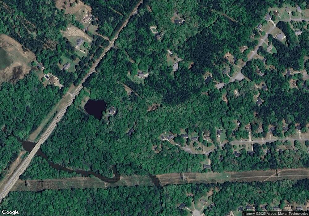
Map
Nearby Homes
- 130 Redbud Ct
- 40 Riverstone Dr
- 125 Pinewood Dr
- 0 Highway 85 Unit 16.355+/- AC
- 145 Driftwood Trail
- 180 Brechin Dr
- 325 Ivy Ln
- 186 Brittany Ln
- 181 Brittany Ln
- 0 Padgett Rd Unit 10612849
- 0 Padgett Rd Unit LOT 9 10432801
- 0 Padgett Rd Unit LOT 8 10432798
- 70 Teal Ct
- 140 Burkwood Ct
- 85 Bourbon St Unit 3
- 349 Werner Way
- 604 Morgan Mill Rd
- 390 Werner Way
- 470 Werner Way
- 45 Crest Haven Ct
- 2690 Georgia 85
- 235 Starrs Mill Dr
- 2710 Highway 85 S
- 2690 Highway 85 S
- 225 Starrs Mill Dr
- 2722 Highway 85 S
- 230 Starrs Mill Dr
- 2680 Highway 85 S
- 215 Starrs Mill Dr
- 250 Grindstone Way
- 245 Grindstone Way
- 205 Starrs Mill Dr
- 195 Starrs Mill Dr
- 240 Grindstone Way
- 2674 Highway 85 S
- 225 Grindstone Way
- 190 Starrs Mill Dr
- 185 Starrs Mill Dr
- 180 Starrs Mill Dr
- 230 Grindstone Way