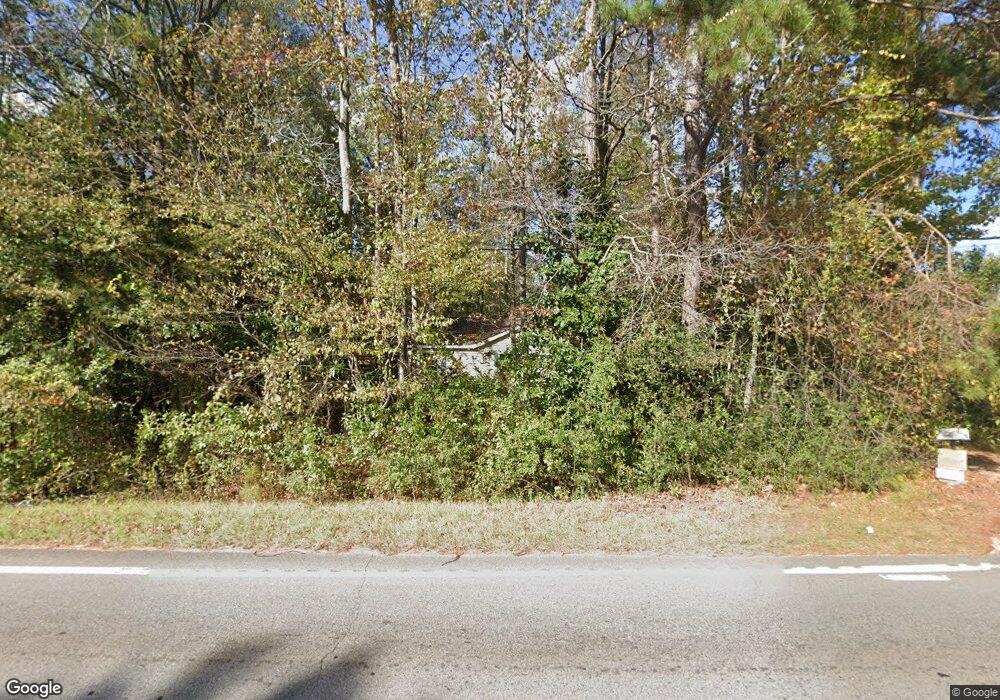
2700 W Point Rd Lagrange, GA 30240
Estimated Value: $72,000 - $132,000
2
Beds
1
Bath
807
Sq Ft
$116/Sq Ft
Est. Value
About This Home
This home is located at 2700 W Point Rd, Lagrange, GA 30240 and is currently estimated at $93,881, approximately $116 per square foot. 2700 W Point Rd is a home located in Troup County with nearby schools including Berta Weathersbee Elementary School, Long Cane Elementary School, and Whitesville Road Elementary School.
Ownership History
Date
Name
Owned For
Owner Type
Purchase Details
Closed on
Jul 12, 2019
Sold by
Rigsby M K
Bought by
Dezayee Ramazhan S
Current Estimated Value
Purchase Details
Closed on
Dec 21, 2011
Bought by
Rigsby Mark L
Purchase Details
Closed on
Oct 5, 2010
Sold by
Smith Kenneth R
Bought by
Frontier Bank
Purchase Details
Closed on
Oct 16, 2006
Sold by
Davis James B
Bought by
Smith Kenneth R
Purchase Details
Closed on
Apr 12, 2001
Sold by
Estate Of Herbert Calhoun
Bought by
Davis James B
Purchase Details
Closed on
Jul 11, 1997
Sold by
Moore Daymon P and Moore Linda J
Bought by
Estate Of Herbert Calhoun
Purchase Details
Closed on
Jun 23, 1977
Sold by
Adolphus Mccain
Bought by
Moore Daymon P and Moore Linda J
Create a Home Valuation Report for This Property
The Home Valuation Report is an in-depth analysis detailing your home's value as well as a comparison with similar homes in the area
Purchase History
| Date | Buyer | Sale Price | Title Company |
|---|---|---|---|
| Dezayee Ramazhan S | $28,500 | -- | |
| Rigsby Mark L | $17,000 | -- | |
| Frontier Bank | $115,000 | -- | |
| Smith Kenneth R | $35,000 | -- | |
| Smith Kenneth R | $35,000 | -- | |
| Davis James B | $27,600 | -- | |
| Estate Of Herbert Calhoun | $23,000 | -- | |
| Moore Daymon P | $4,400 | -- |
Source: Public Records
Tax History
| Year | Tax Paid | Tax Assessment Tax Assessment Total Assessment is a certain percentage of the fair market value that is determined by local assessors to be the total taxable value of land and additions on the property. | Land | Improvement |
|---|---|---|---|---|
| 2025 | $675 | $24,752 | $8,000 | $16,752 |
| 2024 | $627 | $22,992 | $8,000 | $14,992 |
| 2023 | $625 | $22,912 | $8,000 | $14,912 |
| 2022 | $613 | $21,952 | $8,000 | $13,952 |
| 2021 | $499 | $16,552 | $8,000 | $8,552 |
| 2020 | $499 | $16,552 | $8,000 | $8,552 |
| 2019 | $424 | $14,052 | $4,652 | $9,400 |
| 2018 | $398 | $13,212 | $4,652 | $8,560 |
| 2017 | $398 | $13,212 | $4,652 | $8,560 |
| 2016 | $397 | $13,148 | $4,652 | $8,496 |
| 2015 | $397 | $13,148 | $4,652 | $8,496 |
| 2014 | $384 | $12,701 | $4,652 | $8,049 |
| 2013 | -- | $13,227 | $4,652 | $8,575 |
Source: Public Records
Map
Nearby Homes
- 0 Bradfield Dr Unit 10568803
- 8 Horace Carter Rd
- 808 S Fling Rd
- 427 Fling Rd
- 2239 Pegasus Pkwy
- 288 Bradfield Dr
- 402 Ginger Cir
- 509 Connie Dr
- 0 Glass Bridge Rd Unit 10679358
- 22 Freeman Rd
- 3 Reed Dr
- 3009 Old West Point Rd
- 112 Foxdale Dr
- 0 Unit 10514554
- 105 Redwood Dr
- 98 Hearn Rd
- 336 Whitaker Rd
- 266 Glass Bridge Rd
- 117 Brookwood Dr
- 640 Hudson Rd
- 2700 West Point Rd
- 2688 W Point Rd
- 2726 West Point Rd
- 2726 W Point Rd
- 236 Overbrook Dr
- 0 Bradfield Dr Unit 8348693
- 0 Bradfield Dr Unit 8931502
- 0 Bradfield Dr Unit 7.52 Ac 8506083
- 2663 W Point Rd
- 2663 West Point Rd
- 239 Overbrook Dr
- 2725 W Point Rd
- 216 Overbrook Dr
- 2654 West Point Rd
- 17 Oakridge Dr
- 2725 West Point Rd
- 53 Horace Carter Rd
- 2714 W Point Rd
- 75 Horace Carter Rd
- 20 Bradfield Dr
Your Personal Tour Guide
Ask me questions while you tour the home.