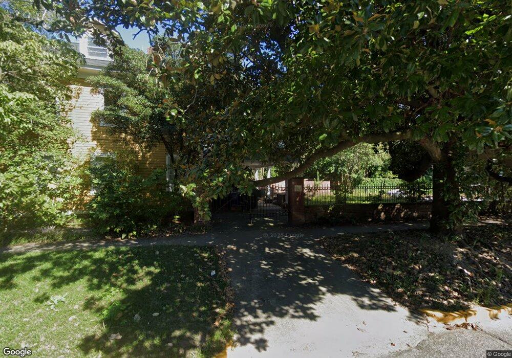
2700 Wheat St Columbia, SC 29205
Rosewood NeighborhoodEstimated Value: $617,000 - $714,000
4
Beds
4
Baths
3,528
Sq Ft
$189/Sq Ft
Est. Value
About This Home
This home is located at 2700 Wheat St, Columbia, SC 29205 and is currently estimated at $666,280, approximately $188 per square foot. 2700 Wheat St is a home located in Richland County with nearby schools including A. C. Moore Elementary School, Hand Middle School, and Dreher High School.
Ownership History
Date
Name
Owned For
Owner Type
Purchase Details
Closed on
Jan 22, 2021
Sold by
Deutschendorf Maxine J
Bought by
Wishart Raimund D
Current Estimated Value
Purchase Details
Closed on
Aug 31, 2018
Sold by
Cook Sheila Phillips
Bought by
Wistiart Raimund D and Deutschendorf Maxine
Home Financials for this Owner
Home Financials are based on the most recent Mortgage that was taken out on this home.
Original Mortgage
$379,050
Interest Rate
3.5%
Mortgage Type
Adjustable Rate Mortgage/ARM
Create a Home Valuation Report for This Property
The Home Valuation Report is an in-depth analysis detailing your home's value as well as a comparison with similar homes in the area
Home Values in the Area
Average Home Value in this Area
Purchase History
| Date | Buyer | Sale Price | Title Company |
|---|---|---|---|
| Wishart Raimund D | -- | None Available | |
| Wishart Raimund D | -- | None Listed On Document | |
| Wistiart Raimund D | $399,000 | None Available |
Source: Public Records
Mortgage History
| Date | Status | Borrower | Loan Amount |
|---|---|---|---|
| Previous Owner | Wistiart Raimund D | $379,050 |
Source: Public Records
Tax History Compared to Growth
Tax History
| Year | Tax Paid | Tax Assessment Tax Assessment Total Assessment is a certain percentage of the fair market value that is determined by local assessors to be the total taxable value of land and additions on the property. | Land | Improvement |
|---|---|---|---|---|
| 2024 | $12,555 | $458,900 | $0 | $0 |
| 2023 | $11,451 | $15,960 | $0 | $0 |
| 2022 | $11,537 | $399,000 | $80,000 | $319,000 |
| 2021 | $2,989 | $15,960 | $0 | $0 |
| 2020 | $3,152 | $15,960 | $0 | $0 |
| 2019 | $11,828 | $23,940 | $0 | $0 |
| 2018 | $2,039 | $12,020 | $0 | $0 |
| 2017 | $1,985 | $12,020 | $0 | $0 |
| 2016 | $1,915 | $12,020 | $0 | $0 |
| 2015 | $1,915 | $12,020 | $0 | $0 |
| 2014 | $1,913 | $300,500 | $0 | $0 |
| 2013 | -- | $12,020 | $0 | $0 |
Source: Public Records
Map
Nearby Homes
- 529 King St Unit B
- 619 King St Unit 702
- 2611 Monroe St
- 2804 Duncan St
- 2909 Monroe St
- 2408 Wilmot Ave
- 5 Sims Alley
- 2329 Wilmot Ave
- 2614 Burney Dr
- 2709 Preston St
- 2900 Burney Dr
- 2600 Kiawah Ave
- 3001 Kirkwood Rd
- 3121 Duncan St
- 528 Capitol Place
- 2611 Cypress St
- 2529 Cypress St
- 2009 Wheat St
- 409 Waccamaw Ave
- 2218 Rosewood Dr