Estimated Value: $1,242,000 - $1,427,000
3
Beds
3
Baths
3,488
Sq Ft
$378/Sq Ft
Est. Value
About This Home
This home is located at 27000 S Harms Rd, Canby, OR 97013 and is currently estimated at $1,319,459, approximately $378 per square foot. 27000 S Harms Rd is a home located in Clackamas County with nearby schools including Josefa L. Sambrano Elementary School, Philander Lee Elementary School, and Baker Prairie Middle School.
Ownership History
Date
Name
Owned For
Owner Type
Purchase Details
Closed on
Jun 8, 2016
Sold by
Eubanks Harold and Eubanks Judith L
Bought by
Carey Thomas J and Karnosh Kyle A
Current Estimated Value
Home Financials for this Owner
Home Financials are based on the most recent Mortgage that was taken out on this home.
Original Mortgage
$643,000
Outstanding Balance
$511,873
Interest Rate
3.66%
Mortgage Type
New Conventional
Estimated Equity
$807,586
Purchase Details
Closed on
Jun 7, 2016
Sold by
Eubanks Harold and Eubanks Judith L
Bought by
Carey Thomas J and Karnosh Kyle A
Home Financials for this Owner
Home Financials are based on the most recent Mortgage that was taken out on this home.
Original Mortgage
$643,000
Outstanding Balance
$511,873
Interest Rate
3.66%
Mortgage Type
New Conventional
Estimated Equity
$807,586
Create a Home Valuation Report for This Property
The Home Valuation Report is an in-depth analysis detailing your home's value as well as a comparison with similar homes in the area
Home Values in the Area
Average Home Value in this Area
Purchase History
| Date | Buyer | Sale Price | Title Company |
|---|---|---|---|
| Carey Thomas J | $860,000 | Wfg Title | |
| Carey Thomas J | $100,000 | Wfg Title |
Source: Public Records
Mortgage History
| Date | Status | Borrower | Loan Amount |
|---|---|---|---|
| Open | Carey Thomas J | $643,000 |
Source: Public Records
Tax History Compared to Growth
Tax History
| Year | Tax Paid | Tax Assessment Tax Assessment Total Assessment is a certain percentage of the fair market value that is determined by local assessors to be the total taxable value of land and additions on the property. | Land | Improvement |
|---|---|---|---|---|
| 2025 | $8,630 | $603,090 | -- | -- |
| 2024 | $8,393 | $585,641 | -- | -- |
| 2023 | $8,393 | $568,702 | $0 | $0 |
| 2022 | $7,677 | $552,256 | $0 | $0 |
| 2021 | $3,247 | $235,993 | $0 | $0 |
| 2020 | $3,198 | $229,120 | $0 | $0 |
| 2019 | $2,150 | $157,802 | $0 | $0 |
| 2018 | $6,751 | $491,123 | $0 | $0 |
| 2017 | $6,064 | $439,065 | $0 | $0 |
| 2016 | $88 | $6,389 | $0 | $0 |
Source: Public Records
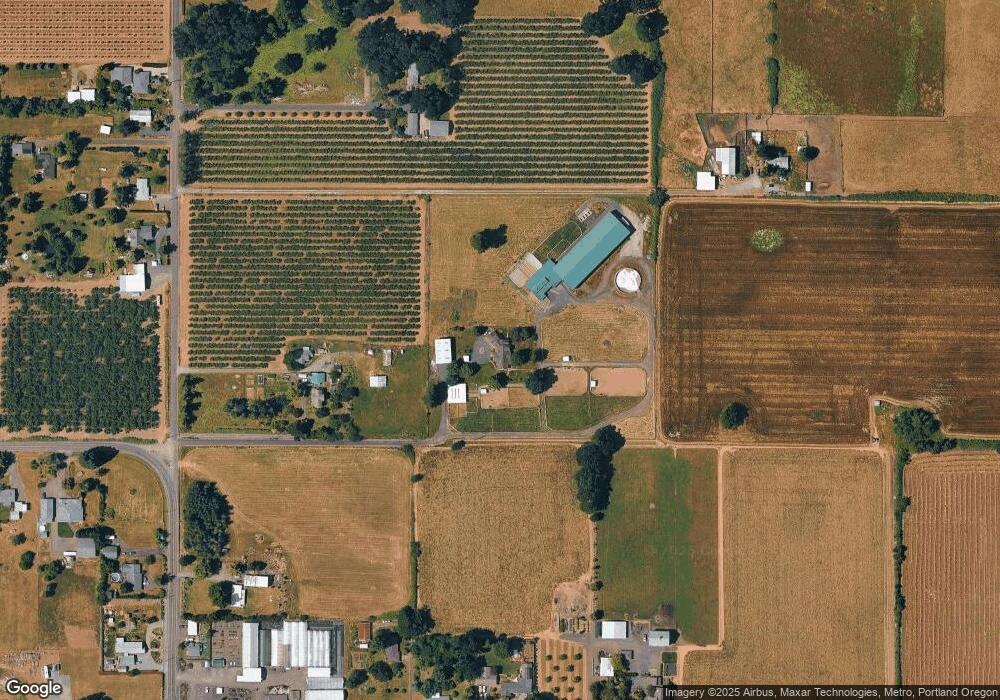
Map
Nearby Homes
- 9750 S Gribble Rd
- 0 S MacKsburg Rd
- 8949 S Gribble Rd
- 11600 S Emerson Rd
- 10787 S Heinz Rd
- 12051 S Riggs Damm Rd
- 24843 S Blundell Rd
- 12192 S Mulino Rd
- 1337 SE 17th Ave
- 1660 S Redwood St
- 1650 S Redwood St
- 1321 SE 17th Ave
- 1345 SE 17th Ave
- 1305 SE 17th Ave
- 1259 SE 17th Ave
- 1231 SE 18th Place
- 1220 SE 18th Place
- 1918 S Holly St
- 2211 SE 12th Ave
- 1172 SE 18th Ave
- 26998 S Harms Rd
- 26996 S Harms Rd
- 10127 S MacKsburg Rd
- 10227 S MacKsburg Rd
- 10149 S MacKsburg Rd
- 10155 S MacKsburg Rd
- 26800 S Harms Rd
- 26880 S Harms Rd
- 10051 S MacKsburg Rd
- 26885 S Harms Rd
- 10065 S MacKsburg Rd
- 10025 S MacKsburg Rd
- 10018 S MacKsburg Rd
- 10148 S MacKsburg Rd
- 26865 S Harms Rd
- 10190 S MacKsburg Rd
- 10024 S MacKsburg Rd
- 9950 S MacKsburg Rd
- 26831 S Harms Rd
- 10100 S MacKsburg Rd