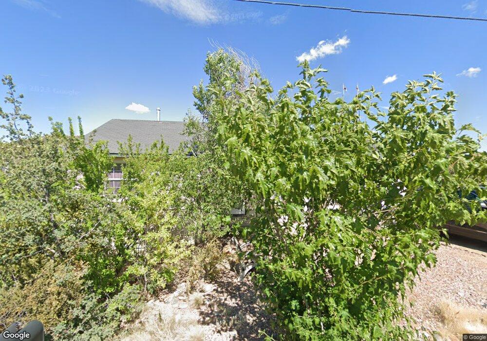
2701 Austin Rd Prescott, AZ 86301
Estimated Value: $367,032 - $451,000
--
Bed
--
Bath
1,090
Sq Ft
$381/Sq Ft
Est. Value
About This Home
This home is located at 2701 Austin Rd, Prescott, AZ 86301 and is currently estimated at $415,758, approximately $381 per square foot. 2701 Austin Rd is a home located in Yavapai County with nearby schools including Taylor Hicks School, Granite Mountain Middle School, and Prescott Mile High Middle School.
Ownership History
Date
Name
Owned For
Owner Type
Purchase Details
Closed on
Jan 28, 2000
Sold by
Morse Stephen J and Glista Thomas J
Bought by
Yanko Rebecca Emma
Current Estimated Value
Home Financials for this Owner
Home Financials are based on the most recent Mortgage that was taken out on this home.
Original Mortgage
$99,000
Interest Rate
8.16%
Mortgage Type
New Conventional
Purchase Details
Closed on
Oct 14, 1996
Sold by
Guffey Brian C and Guffey Maureen E
Bought by
Wright John W and Wright Bernadine J
Purchase Details
Closed on
Oct 7, 1996
Sold by
Wright John W and Wright Bernadine J
Bought by
Burke David R and Burke Polly J
Purchase Details
Closed on
Apr 23, 1996
Sold by
Guffey Brian C and Guffey Maureen E
Bought by
Wright John W and Wright Bernadine J
Create a Home Valuation Report for This Property
The Home Valuation Report is an in-depth analysis detailing your home's value as well as a comparison with similar homes in the area
Home Values in the Area
Average Home Value in this Area
Purchase History
| Date | Buyer | Sale Price | Title Company |
|---|---|---|---|
| Yanko Rebecca Emma | $110,000 | First American Title | |
| Wright John W | -- | First American Title Ins | |
| Burke David R | $39,000 | First American Title Ins | |
| Wright John W | -- | First American Title |
Source: Public Records
Mortgage History
| Date | Status | Borrower | Loan Amount |
|---|---|---|---|
| Previous Owner | Yanko Rebecca Emma | $99,000 |
Source: Public Records
Tax History Compared to Growth
Tax History
| Year | Tax Paid | Tax Assessment Tax Assessment Total Assessment is a certain percentage of the fair market value that is determined by local assessors to be the total taxable value of land and additions on the property. | Land | Improvement |
|---|---|---|---|---|
| 2026 | $1,321 | $32,504 | -- | -- |
| 2024 | $1,294 | $33,825 | -- | -- |
| 2023 | $1,294 | $29,457 | $11,817 | $17,640 |
| 2022 | $1,268 | $21,709 | $7,060 | $14,649 |
| 2021 | $1,322 | $21,750 | $6,906 | $14,844 |
| 2020 | $1,324 | $0 | $0 | $0 |
| 2019 | $1,307 | $0 | $0 | $0 |
| 2018 | $1,261 | $0 | $0 | $0 |
| 2017 | $1,203 | $0 | $0 | $0 |
| 2016 | $1,210 | $0 | $0 | $0 |
| 2015 | -- | $0 | $0 | $0 |
| 2014 | -- | $0 | $0 | $0 |
Source: Public Records
Map
Nearby Homes
- 439 Foxfire Ln
- 438 Jasmine Ln
- 2630 Tabosa Dr
- 418 Ironwood Ct
- 401 Valley Place
- 2345 Shinnery Ln
- 538 S Lakeview Dr
- 2722 College Heights Rd
- 2703 College Heights Rd
- 502-522 Talons Reach Way
- 2858 Ithaca Dr Unit IV
- 2800 Willow Creek Rd
- 2265 Sandia Dr
- 3089 Peaks View Ln Unit 6E
- 3030 Cornell Dr
- 2220 Sandia Dr
- 2952 Horizon Hills Ln
- 2293 Sequoia Dr
- 2303 Arthur Dr
- 3160 Cascades Dr Unit 16H
- 0 Tabosa Dr
- 441 Foxfire Ln
- 2721 Austin Rd
- 440 Jasmine Ln
- 436 Foxfire Ln
- 436 Foxfire Ln Unit 2
- 2741 Austin Rd
- 436 Jasmine Ln
- 410 Dunn Dr
- 2710 Austin Rd
- 434 Jasmine Ln
- 441 Jasmine Ln
- 433 Foxfire Ln
- 432 Foxfire Ln
- 423 Buckskin Rd
- 439 Jasmine Ln Unit 2
- 439 Jasmine Ln
- 422 Donnybrook
- 432 Jasmine Ln
- 437 Jasmine Ln