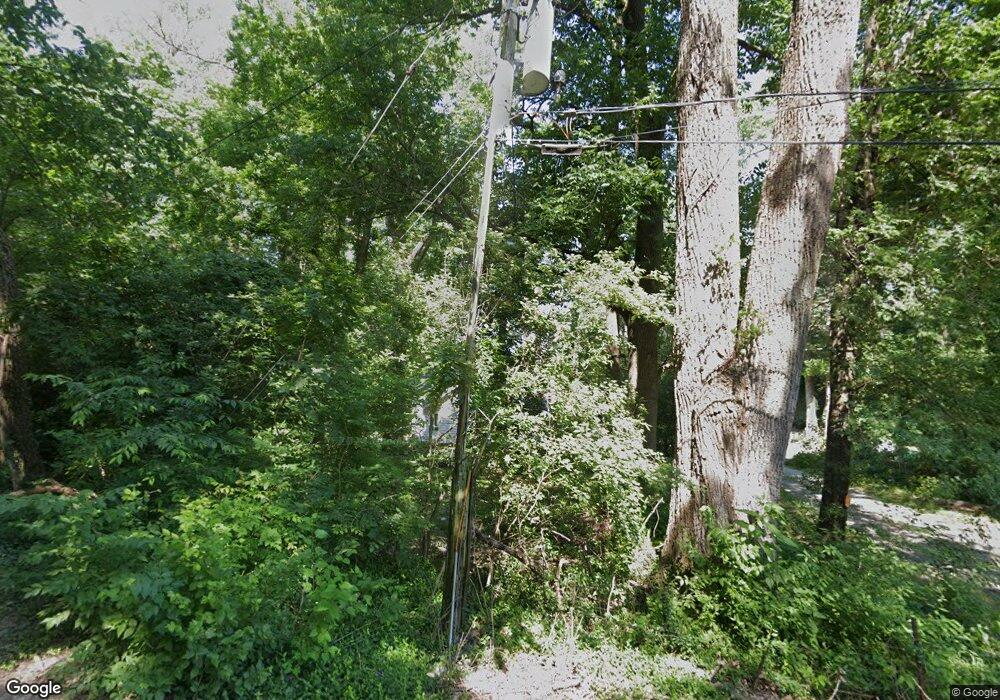
2701 Cliff Dr Fairview Heights, IL 62208
Estimated Value: $126,000 - $276,000
4
Beds
2
Baths
2,291
Sq Ft
$85/Sq Ft
Est. Value
About This Home
This home is located at 2701 Cliff Dr, Fairview Heights, IL 62208 and is currently estimated at $195,793, approximately $85 per square foot. 2701 Cliff Dr is a home located in St. Clair County with nearby schools including James Avant Elementary School, Mason/Clark Middle School, and East St Louis Senior High School.
Ownership History
Date
Name
Owned For
Owner Type
Purchase Details
Closed on
Dec 25, 2014
Sold by
Brannan Michele D and Tinge Michele D
Bought by
Tinge Andrew W
Current Estimated Value
Home Financials for this Owner
Home Financials are based on the most recent Mortgage that was taken out on this home.
Original Mortgage
$109,850
Interest Rate
3.87%
Mortgage Type
New Conventional
Purchase Details
Closed on
Aug 3, 2007
Sold by
Tinge Andrew W
Bought by
Tinge Andrew W and Dennis Michele D
Purchase Details
Closed on
Nov 29, 2004
Sold by
Tinge Jean E
Bought by
Tinge Andrew W
Create a Home Valuation Report for This Property
The Home Valuation Report is an in-depth analysis detailing your home's value as well as a comparison with similar homes in the area
Home Values in the Area
Average Home Value in this Area
Purchase History
| Date | Buyer | Sale Price | Title Company |
|---|---|---|---|
| Tinge Andrew W | -- | None Available | |
| Tinge Andrew W | -- | Freedom Title | |
| Tinge Andrew W | -- | -- |
Source: Public Records
Mortgage History
| Date | Status | Borrower | Loan Amount |
|---|---|---|---|
| Closed | Tinge Andrew W | $109,850 |
Source: Public Records
Tax History Compared to Growth
Tax History
| Year | Tax Paid | Tax Assessment Tax Assessment Total Assessment is a certain percentage of the fair market value that is determined by local assessors to be the total taxable value of land and additions on the property. | Land | Improvement |
|---|---|---|---|---|
| 2024 | $3,316 | $30,138 | $2,260 | $27,878 |
| 2023 | $3,332 | $29,372 | $2,203 | $27,169 |
| 2022 | $2,969 | $26,991 | $2,024 | $24,967 |
| 2021 | $3,049 | $26,925 | $2,017 | $24,908 |
| 2020 | $3,147 | $27,067 | $2,028 | $25,039 |
| 2019 | $3,439 | $27,067 | $2,028 | $25,039 |
| 2018 | $3,657 | $27,477 | $2,059 | $25,418 |
| 2017 | $3,159 | $24,220 | $1,973 | $22,247 |
| 2016 | $3,125 | $24,374 | $1,986 | $22,388 |
| 2014 | $3,162 | $24,374 | $1,986 | $22,388 |
| 2013 | -- | $16,305 | $6,391 | $9,914 |
Source: Public Records
Map
Nearby Homes
- 2510 N 89th St
- 9017 Crest Dr
- 9019 Crest Dr
- 9021 Crest Dr
- 9058 Crest Dr
- 22 Kassing Dr
- 9153 Basswood Dr
- 9157 Basswood Dr
- 9134 Basswood Dr
- 9149 Basswood Dr
- 113 Barkwood Dr
- 9129 Basswood Dr
- 9130 Basswood Dr
- 9145 Basswood Dr
- 9138 Basswood Dr
- 9142 Basswood Dr
- 120 Bunkum Woods Dr
- 116 Bunkum Woods Dr
- 9146 Basswood Dr
- 9150 Basswood Dr
- 2620 Cliff Dr
- 2610 N 89th St
- 2600 N 89th St
- 2707 Cliff Dr
- 2704 Cliff Dr
- 2800 N 89th St
- 2762 N 89th St
- 2750 N 89th St
- 2712 Cliff Dr
- 2727 N 89th St
- 2500 N 89th St
- 2747 N 89th St
- 2716 Cliff Dr
- 8904 Crest Dr
- 0 N 89th St Unit MAR23020709
- 9008 Crest Dr
- 2501 N 89th St
- 2822 N 89th St
- 2720 Cliff Dr
- 9005 Crest Dr
