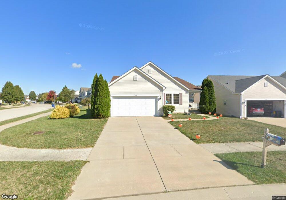
2701 Commons Pkwy Belleville, IL 62221
Estimated Value: $308,000 - $338,549
Studio
--
Bath
2,008
Sq Ft
$162/Sq Ft
Est. Value
About This Home
This home is located at 2701 Commons Pkwy, Belleville, IL 62221 and is currently estimated at $324,387, approximately $161 per square foot. 2701 Commons Pkwy is a home with nearby schools including Mascoutah High School and Zion Lutheran School Belleville.
Ownership History
Date
Name
Owned For
Owner Type
Purchase Details
Closed on
Dec 10, 2010
Sold by
The Jones Company Homes Llc
Bought by
Tubb Mark A and Tubb Linda J
Current Estimated Value
Home Financials for this Owner
Home Financials are based on the most recent Mortgage that was taken out on this home.
Original Mortgage
$191,415
Outstanding Balance
$126,528
Interest Rate
4.23%
Mortgage Type
VA
Estimated Equity
$197,859
Create a Home Valuation Report for This Property
The Home Valuation Report is an in-depth analysis detailing your home's value as well as a comparison with similar homes in the area
Home Values in the Area
Average Home Value in this Area
Purchase History
| Date | Buyer | Sale Price | Title Company |
|---|---|---|---|
| Tubb Mark A | $185,500 | Pgp Title Company |
Source: Public Records
Mortgage History
| Date | Status | Borrower | Loan Amount |
|---|---|---|---|
| Open | Tubb Mark A | $191,415 |
Source: Public Records
Tax History
| Year | Tax Paid | Tax Assessment Tax Assessment Total Assessment is a certain percentage of the fair market value that is determined by local assessors to be the total taxable value of land and additions on the property. | Land | Improvement |
|---|---|---|---|---|
| 2024 | -- | $92,879 | $17,237 | $75,642 |
| 2023 | -- | $83,757 | $16,896 | $66,861 |
| 2022 | $3,678 | $75,403 | $15,211 | $60,192 |
| 2021 | $5,741 | $69,707 | $14,062 | $55,645 |
| 2020 | $5,538 | $65,920 | $13,298 | $52,622 |
| 2019 | $5,422 | $64,176 | $13,320 | $50,856 |
| 2018 | $5,271 | $62,788 | $13,032 | $49,756 |
| 2017 | $5,338 | $62,346 | $12,940 | $49,406 |
| 2016 | $5,242 | $61,022 | $12,665 | $48,357 |
| 2014 | $4,038 | $54,629 | $13,609 | $41,020 |
| 2013 | -- | $55,411 | $13,804 | $41,607 |
Source: Public Records
Map
Nearby Homes
- 2725 Cedar Grove Dr
- 2528 Commons Pkwy
- 2532 Wintercreek Dr
- 2654 Waldon Ln
- 2623 Waldon Ln
- 315 University Dr
- 853 Mayfair Dr
- 1509 Potomac Dr
- 204 Bunker Hill Rd
- 3241 Millbrook Dr
- 794 Cedar Mill Dr
- 1319 Springfield Dr
- 104 Meadowbruck Ln
- 218 Woods Edge Dr
- 1301 Springfield Dr
- 2749 Brookmeadow Dr
- 108 Christine Dr
- 1423 Vicksburg Dr
- 1419 Vicksburg Dr
- 405 Todd Ln
- 2705 Commons Pkwy
- 204 Sparrow Point Ln
- 2709 Commons Pkwy
- 208 Sparrow Point Ln
- 2641 Commons Pkwy
- 2713 Commons Pkwy
- 209 Longridge Cir
- 116 Chestnut Grove Dr
- 205 Longridge Cir
- 212 Sparrow Point Ln
- 2637 Commons Pkwy
- 213 Longridge Cir
- 2717 Commons Pkwy
- 207 Sparrow Point Ln
- 113 Chestnut Grove
- 216 Sparrow Point Ln
- 217 Longridge Cir
- 211 Sparrow Point Ln
- 117 Chestnut Grove Dr
- 2633 Commons Pkwy
Your Personal Tour Guide
Ask me questions while you tour the home.