2701 Forrest Cir Durant, OK 74701
Estimated Value: $234,000 - $256,000
3
Beds
2
Baths
1,553
Sq Ft
$155/Sq Ft
Est. Value
About This Home
This home is located at 2701 Forrest Cir, Durant, OK 74701 and is currently estimated at $240,804, approximately $155 per square foot. 2701 Forrest Cir is a home located in Bryan County with nearby schools including Silo Early Childhood Center, Silo Elementary School, and Silo Middle School.
Ownership History
Date
Name
Owned For
Owner Type
Purchase Details
Closed on
Dec 21, 2012
Sold by
Byrd Andrew and Byrd Lezlee
Bought by
Byrd Andrew
Current Estimated Value
Purchase Details
Closed on
Oct 27, 2008
Sold by
Estep Odis K and Estep Diane
Bought by
Riley Amy D and Riley Shane I
Purchase Details
Closed on
Jun 15, 2004
Sold by
Holloway Mark and Holloway Kimberly
Bought by
Newell Diana and Newell Ronald
Purchase Details
Closed on
Dec 30, 1998
Sold by
Dalton Larry D and Dalton Pamela
Bought by
Holloway Mark and Holloway Kimberly
Purchase Details
Closed on
Dec 30, 1996
Sold by
Roberts Dennis
Bought by
Dalton Larry and Dalton Pamela
Create a Home Valuation Report for This Property
The Home Valuation Report is an in-depth analysis detailing your home's value as well as a comparison with similar homes in the area
Home Values in the Area
Average Home Value in this Area
Purchase History
| Date | Buyer | Sale Price | Title Company |
|---|---|---|---|
| Byrd Andrew | -- | None Available | |
| Riley Amy D | -- | None Available | |
| Newell Diana | $107,000 | -- | |
| Holloway Mark | $94,300 | -- | |
| Dalton Larry | $78,000 | -- |
Source: Public Records
Tax History Compared to Growth
Tax History
| Year | Tax Paid | Tax Assessment Tax Assessment Total Assessment is a certain percentage of the fair market value that is determined by local assessors to be the total taxable value of land and additions on the property. | Land | Improvement |
|---|---|---|---|---|
| 2025 | $1,344 | $16,876 | $1,211 | $15,665 |
| 2024 | $1,344 | $16,876 | $1,205 | $15,671 |
| 2023 | $1,344 | $16,875 | $1,478 | $15,397 |
| 2022 | $1,345 | $16,875 | $1,478 | $15,397 |
| 2021 | $1,311 | $16,875 | $1,478 | $15,397 |
| 2020 | $1,306 | $16,735 | $1,478 | $15,257 |
| 2019 | $1,286 | $16,247 | $1,478 | $14,769 |
| 2018 | $1,251 | $15,775 | $1,478 | $14,297 |
| 2017 | $1,054 | $15,314 | $1,478 | $13,836 |
| 2016 | $1,023 | $14,893 | $1,320 | $13,573 |
| 2015 | $991 | $14,459 | $1,741 | $12,718 |
| 2014 | $991 | $14,459 | $1,741 | $12,718 |
Source: Public Records
Map
Nearby Homes
- 2706 Forrest Cir
- 2606 Christy Ln
- 3039 Kande Ln
- 3241 Seabiscuit
- 3249 Seabiscuit
- 3257 Seabiscuit
- 3240 Seabiscuit
- 3248 Seabiscuit
- 3439 Little John Dr
- 3424 Little John Dr
- 3332 Little John Dr
- 3400 Little John Dr
- 3324 Little John Dr
- 3308 Seabiscuit
- 00 Ed F Davis Rd
- 00031 Ed F Davis Rd
- 00030 Ed F Davis Rd
- 3400 Lazy Ln
- 3715 Lionel Ln
- 3127 Secretariat St
- 2703 Forrest Cir
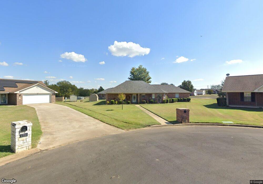
- 2702 Forrest Cir
- 2602 Lorrie Ln
- 2704 Forrest Cir
- 2601 Little John Dr
- 2704 Lorrie Ln
- 2602 Christy Ln
- 2707 Forrest Cir
- 2708 Forrest Cir
- 2706 Lorrie Ln
- 2606 Christy Cir
- 2525 Monterrey St
- 2700 Little John Dr
- 2709 Forrest Cir
- 2708 Lorrie Ln
- 2710 Forrest Cir
- 2609 Christy Ln
- 2701 Lorrie Ln
- 2705 Lorrie Ln