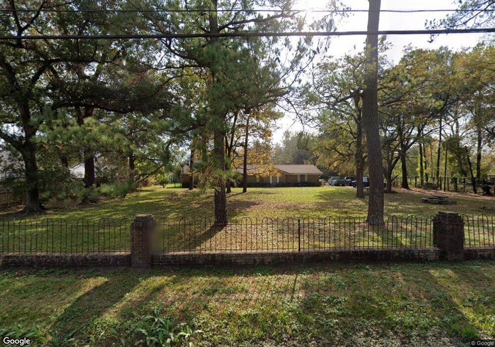
2701 Mansfield St Houston, TX 77091
Acres Homes NeighborhoodEstimated Value: $413,000 - $897,437
3
Beds
2
Baths
1,783
Sq Ft
$404/Sq Ft
Est. Value
About This Home
This home is located at 2701 Mansfield St, Houston, TX 77091 and is currently estimated at $720,609, approximately $404 per square foot. 2701 Mansfield St is a home located in Harris County with nearby schools including Edward a Vines EC/Pre-K/K School, Harris Elementary School, and Hoffman Middle School.
Ownership History
Date
Name
Owned For
Owner Type
Purchase Details
Closed on
Dec 24, 1996
Sold by
Gipson Phyllis Jeanette
Bought by
Hubbard Dorothy
Current Estimated Value
Purchase Details
Closed on
Jun 13, 1994
Sold by
Yale Mobile Home Sales Inc
Bought by
Hubbard Regina Ann
Create a Home Valuation Report for This Property
The Home Valuation Report is an in-depth analysis detailing your home's value as well as a comparison with similar homes in the area
Home Values in the Area
Average Home Value in this Area
Purchase History
| Date | Buyer | Sale Price | Title Company |
|---|---|---|---|
| Hubbard Dorothy | -- | -- | |
| Hubbard Regina Ann | -- | -- |
Source: Public Records
Tax History Compared to Growth
Tax History
| Year | Tax Paid | Tax Assessment Tax Assessment Total Assessment is a certain percentage of the fair market value that is determined by local assessors to be the total taxable value of land and additions on the property. | Land | Improvement |
|---|---|---|---|---|
| 2025 | $241 | $932,682 | $788,670 | $144,012 |
| 2024 | $241 | $932,682 | $788,670 | $144,012 |
| 2023 | $105 | $810,556 | $685,800 | $124,756 |
| 2022 | $7,535 | $575,500 | $428,625 | $146,875 |
| 2021 | $7,173 | $479,715 | $342,900 | $136,815 |
| 2020 | $6,852 | $349,767 | $214,313 | $135,454 |
| 2019 | $6,531 | $313,959 | $214,313 | $99,646 |
| 2018 | $155 | $241,467 | $145,733 | $95,734 |
| 2017 | $5,174 | $241,467 | $145,733 | $95,734 |
| 2016 | $4,704 | $212,053 | $128,588 | $83,465 |
| 2015 | $253 | $212,053 | $128,588 | $83,465 |
| 2014 | $253 | $186,170 | $81,439 | $104,731 |
Source: Public Records
Map
Nearby Homes
- 2631 Mansfield St
- 2632 Paul Quinn
- 0 Rollins St
- 5923 Easter St
- 2602 Paul Quinn St
- 5823 Outer Banks St
- 5819 Outer Banks St
- 5815 Outer Banks St
- 5811 Outer Banks St
- 2599 Paul Quinn St
- 2581 Paul Quinn St
- 2595 Paul Quinn St
- 2589 Paul Quinn St
- 2587 Paul Quinn St
- 2583 Paul Quinn St
- 2100 De Soto St
- 2593 Paul Quinn St
- 1 De Soto St
- 1933 De Soto St
- 2591 Paul Quinn St
- 2700 Mansfield Rd
- 0 Mansfield Rd Unit 2391045
- 0 Mansfield Rd Unit 34422294
- 0 Mansfield Rd Unit 75036704
- 0 Mansfield Rd Unit 46444345
- 0 Mansfield Rd Unit 3956234
- 0 Mansfield Rd Unit 5175500
- 0 Mansfield Rd Unit 12015855
- 2729 Mansfield St
- 2619 Mansfield
- 2726 Mansfield St
- 2726 Mansfield St
- 2702 Mansfield St
- 2611 Mansfield St
- 2802 Mansfield St
- 0 N Mansfield Rd Unit 75761747
- 2609 Mansfield St
- 5731 Elysian St
- 2806 Mansfield St
- 2806 Mansfield St Unit 5