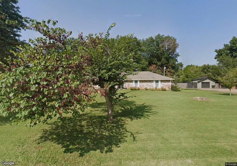
2701 Michael Rd Muskogee, OK 74403
Country Club NeighborhoodEstimated Value: $294,672 - $352,000
3
Beds
3
Baths
2,518
Sq Ft
$124/Sq Ft
Est. Value
About This Home
This home is located at 2701 Michael Rd, Muskogee, OK 74403 and is currently estimated at $312,168, approximately $123 per square foot. 2701 Michael Rd is a home located in Muskogee County with nearby schools including 8th & 9th Grade Academy @ Alice Robertson, Muskogee High School, and St Joseph Catholic School.
Ownership History
Date
Name
Owned For
Owner Type
Purchase Details
Closed on
Jul 26, 2018
Sold by
Piester Bill Calvin and Piester Dannie Gayle
Bought by
Goodwin Ernest L and Goodwin Jane E
Current Estimated Value
Purchase Details
Closed on
Mar 6, 2018
Sold by
Piester Bill C and Piester Dannie Gayle
Bought by
Piester Bill Calvin and Piester Dannie Gayle
Purchase Details
Closed on
Dec 11, 2000
Bought by
Piester Calvin J &Ora Mae Tr
Create a Home Valuation Report for This Property
The Home Valuation Report is an in-depth analysis detailing your home's value as well as a comparison with similar homes in the area
Home Values in the Area
Average Home Value in this Area
Purchase History
| Date | Buyer | Sale Price | Title Company |
|---|---|---|---|
| Goodwin Ernest L | $175,000 | Pioneer Abstract & Title Co | |
| Piester Bill Calvin | -- | None Available | |
| Piester Calvin J &Ora Mae Tr | -- | -- |
Source: Public Records
Tax History Compared to Growth
Tax History
| Year | Tax Paid | Tax Assessment Tax Assessment Total Assessment is a certain percentage of the fair market value that is determined by local assessors to be the total taxable value of land and additions on the property. | Land | Improvement |
|---|---|---|---|---|
| 2025 | $2,327 | $21,778 | $2,742 | $19,036 |
| 2024 | $2,195 | $21,144 | $2,742 | $18,402 |
| 2023 | $2,195 | $21,143 | $3,047 | $18,096 |
| 2022 | $1,886 | $20,528 | $3,047 | $17,481 |
| 2021 | $1,837 | $19,350 | $4,074 | $15,276 |
| 2020 | $1,840 | $19,350 | $4,074 | $15,276 |
| 2019 | $1,825 | $19,350 | $4,074 | $15,276 |
| 2018 | $1,788 | $19,350 | $4,074 | $15,276 |
| 2017 | $1,693 | $18,965 | $4,074 | $14,891 |
| 2016 | $1,659 | $18,413 | $4,074 | $14,339 |
| 2015 | $1,643 | $18,413 | $4,074 | $14,339 |
| 2014 | $1,673 | $18,413 | $4,074 | $14,339 |
Source: Public Records
Map
Nearby Homes
- 2720 Michael Rd
- 3428 Harris Ave
- 2808 Suroya St
- 2606 Fort Davis Dr
- 2901 Robin Ln
- 2839 Hickory Creek Rd
- 3305 E Harris Rd
- 2503 Bacon Ct
- 3002 Kimberlea Dr
- 3611 N Country Club Cir
- 3401 E Shawnee Bypass
- 3205 E Shawnee
- 0 SW Shawnee Rd Unit 2514449
- 3821 N Country Club Cir
- 0 Old Shawnee Rd Unit 2546014
- 1813 N York St
- 0 N York St Unit 2545885
- 000 Ward St
- 1411 N 43rd St E
- 1629 Walnut St
- 2700 Michael Rd
- 2715 Michael Rd
- 3513 Harris Ave
- 3509 Harris Ave
- 3521 Harris Ave
- 2600 Robin Ln
- 2717 Michael Rd
- 2604 Robin Ln
- 3501 Harris Ave
- 2616 Robin Ln
- 0 Robin Ln
- 3502 Severs St
- 3508 Severs St
- 2707 N Country Club Rd
- 2605 Robin Ln
- 2627 N Country Club Rd
- 2703 N Country Club Rd
- 3430 Harris Ave
- 3500 Severs St
- 2720 Robin Ln