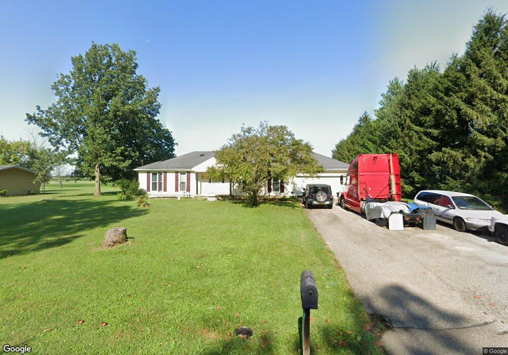
2701 Spence Rd New Carlisle, OH 45344
Estimated Value: $220,873 - $305,000
3
Beds
2
Baths
1,274
Sq Ft
$196/Sq Ft
Est. Value
About This Home
This home is located at 2701 Spence Rd, New Carlisle, OH 45344 and is currently estimated at $249,468, approximately $195 per square foot. 2701 Spence Rd is a home located in Clark County with nearby schools including Northwestern Elementary School and Northwestern Junior/Senior High School.
Ownership History
Date
Name
Owned For
Owner Type
Purchase Details
Closed on
Nov 15, 2018
Sold by
Estate Of Pierce D Gill
Bought by
Betts Lambert Kimberly A
Current Estimated Value
Purchase Details
Closed on
Sep 20, 2005
Sold by
Moloney Calleen M and Gill Calleen M
Bought by
Gill Pierce D
Purchase Details
Closed on
Apr 1, 1982
Sold by
Gill Pierce D and Gill Calleen M
Bought by
Gill Pierce D
Create a Home Valuation Report for This Property
The Home Valuation Report is an in-depth analysis detailing your home's value as well as a comparison with similar homes in the area
Home Values in the Area
Average Home Value in this Area
Purchase History
| Date | Buyer | Sale Price | Title Company |
|---|---|---|---|
| Betts Lambert Kimberly A | -- | None Available | |
| Gill Pierce D | -- | -- | |
| Gill Pierce D | -- | -- |
Source: Public Records
Tax History Compared to Growth
Tax History
| Year | Tax Paid | Tax Assessment Tax Assessment Total Assessment is a certain percentage of the fair market value that is determined by local assessors to be the total taxable value of land and additions on the property. | Land | Improvement |
|---|---|---|---|---|
| 2024 | $3,791 | $51,200 | $11,750 | $39,450 |
| 2023 | $3,799 | $51,200 | $11,750 | $39,450 |
| 2022 | $2,477 | $51,200 | $11,750 | $39,450 |
| 2021 | $2,083 | $37,370 | $8,580 | $28,790 |
| 2020 | $2,064 | $37,370 | $8,580 | $28,790 |
| 2019 | $2,084 | $37,370 | $8,580 | $28,790 |
| 2018 | $2,060 | $37,680 | $7,800 | $29,880 |
| 2017 | $2,061 | $37,674 | $7,798 | $29,876 |
| 2016 | $2,021 | $37,674 | $7,798 | $29,876 |
| 2015 | $4,109 | $35,718 | $7,798 | $27,920 |
| 2014 | $1,875 | $35,718 | $7,798 | $27,920 |
| 2013 | $1,862 | $35,718 | $7,798 | $27,920 |
Source: Public Records
Map
Nearby Homes
- 7475 Detrick Jordan Pike
- 7585 Wrenview Dr
- 3390 Spence Rd
- 2430 Myers Rd
- 3771 Spence Rd
- 286 Hampton Trail
- 268 Hampton Trail
- 00 Folk Ream Rd
- 1 Folk Ream Rd
- 3172 Folk Ream Rd
- 81 W Clark St
- 6580 Shaler Dr
- 1559 Folk Ream Rd
- 1650 Cranbrook Dr
- 3961 Shrine Rd
- 6258 Zachary Ave
- 3410 Michael Dr
- 3430 Michael Dr
- 5889 Troy Rd
- 7588 Milton Carlisle Rd
- 2721 Spence Rd
- 2683 Spence Rd
- 2738 Spence Rd
- 2751 Spence Rd
- 2692 Spence Rd
- 2669 Spence Rd
- 2763 Spence Rd
- 2651 Spence Rd
- 2662 Spence Rd
- 2648 Spence Rd
- 2780 Spence Rd
- 2775 Spence Rd
- 2806 Spence Rd
- 2615 Spence Rd
- 7936 Detrick Jordan Pike
- 2836 Spence Rd
- 8222 Detrick Jordan Pike
- 8222 Detrick Jordan Pike
- 8037 Detrick Jordan Pike
- 7985 Detrick Jordan Pike