2701 Stephenson Branch Rd Bryson City, NC 28713
Estimated Value: $427,267 - $578,000
4
Beds
2
Baths
1,800
Sq Ft
$280/Sq Ft
Est. Value
About This Home
This home is located at 2701 Stephenson Branch Rd, Bryson City, NC 28713 and is currently estimated at $504,567, approximately $280 per square foot. 2701 Stephenson Branch Rd is a home located in Swain County with nearby schools including Swain County Middle School, Swain County West Elementary School, and Swain County High School.
Ownership History
Date
Name
Owned For
Owner Type
Purchase Details
Closed on
Aug 8, 2007
Sold by
Trehern Wilson Daniel and Trehern Margaret S
Bought by
Trehern Wilson Daniel and Trehern Margaret S
Current Estimated Value
Purchase Details
Closed on
Jun 1, 2007
Sold by
Trehern Margaret S and Trehern Margaret H
Bought by
Trehern Wilson Daniel
Create a Home Valuation Report for This Property
The Home Valuation Report is an in-depth analysis detailing your home's value as well as a comparison with similar homes in the area
Home Values in the Area
Average Home Value in this Area
Purchase History
| Date | Buyer | Sale Price | Title Company |
|---|---|---|---|
| Trehern Wilson Daniel | -- | None Available | |
| Trehern Wilson Daniel | -- | -- |
Source: Public Records
Tax History Compared to Growth
Tax History
| Year | Tax Paid | Tax Assessment Tax Assessment Total Assessment is a certain percentage of the fair market value that is determined by local assessors to be the total taxable value of land and additions on the property. | Land | Improvement |
|---|---|---|---|---|
| 2025 | $1,083 | $236,030 | $90,710 | $145,320 |
| 2024 | $1,083 | $236,030 | $90,710 | $145,320 |
| 2023 | $965 | $236,030 | $90,710 | $145,320 |
| 2022 | $965 | $236,030 | $90,710 | $145,320 |
| 2021 | $965 | $236,030 | $0 | $0 |
| 2020 | $878 | $223,130 | $100,080 | $123,050 |
| 2019 | $878 | $223,130 | $100,080 | $123,050 |
| 2018 | $878 | $223,130 | $100,080 | $123,050 |
| 2017 | $878 | $223,130 | $100,080 | $123,050 |
| 2016 | $878 | $223,130 | $100,080 | $123,050 |
| 2015 | -- | $223,130 | $100,080 | $123,050 |
| 2014 | -- | $223,130 | $100,080 | $123,050 |
Source: Public Records
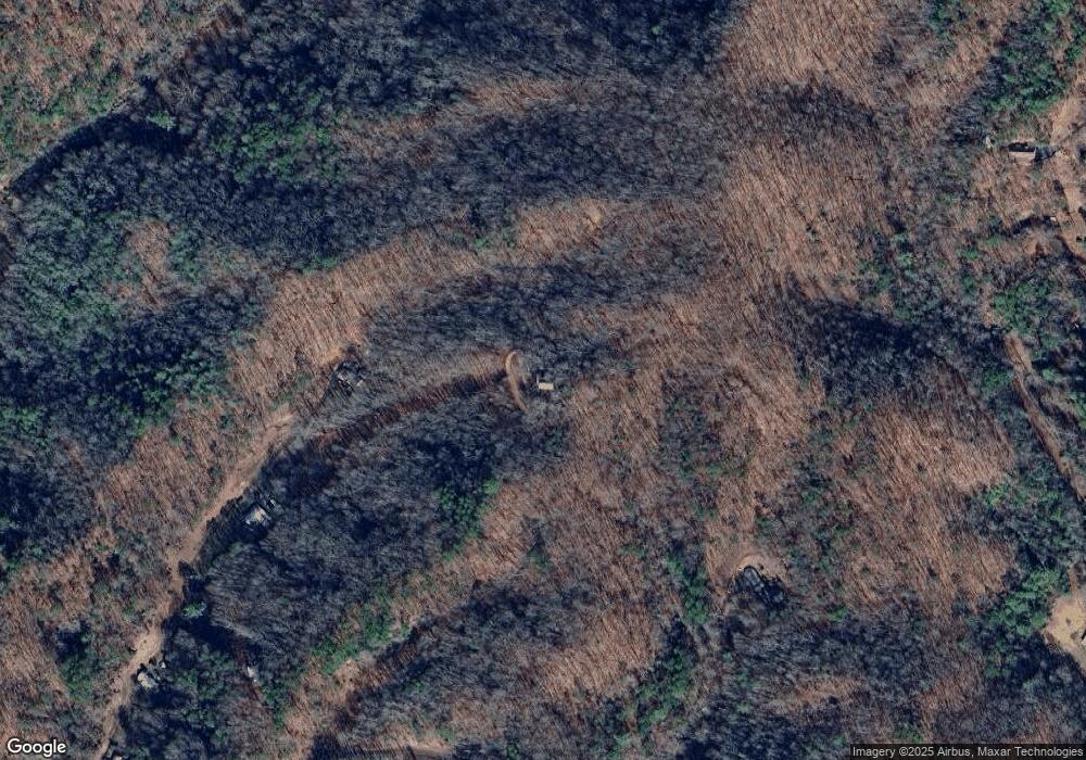
Map
Nearby Homes
- 116 R P Stephenson Dr
- 77 Nash Trail
- Lot 8 Blackberry Hill
- 6541 Grassy Branch Rd
- 0 Rusty's Ridge Rd
- Lot 22 Rusty's Ridge Rd
- Lot 22 Rustys Ridge
- 0 Rustys Ridge
- 139 Forest Hills Rd
- 10 Ridge Place
- 0 Greasy Branch Rd
- 275 Conard Cir
- 84 Pelohi Cove Rd
- 00 Grassy Branch Rd
- 3.32 AC Mountainside Dr
- 860 Butternut Ridge
- 0 Black Forest Dr Unit 26036845
- 0 Black Forest Dr Unit 26037019
- 68-3 Sunset View Ridge
- Lot 6 Butternut Ridge
- 770 Caney Branch Rd
- 180 Dallas Stephensen Rd
- 565 Oliver Dr S
- 180 R P Stephenson Dr
- 290 Brendle Blvd
- 2177 Stephenson Branch Rd
- 654 Oliver Dr N
- 615 Oliver Dr S
- 279 Oliver Dr S
- 520 Caney Branch Rd
- 101 Miners Way
- 1430 Stephenson Branch Rd
- 170 Nash Trail
- 280 Oliver Dr S Unit JIM
- 280 Oliver Dr S
- 676 Oliver Dr S
- 404 Oliver Dr S
- 676 Oliver Dr N
- 160 Brendle Blvd
- 100 Nash Trail