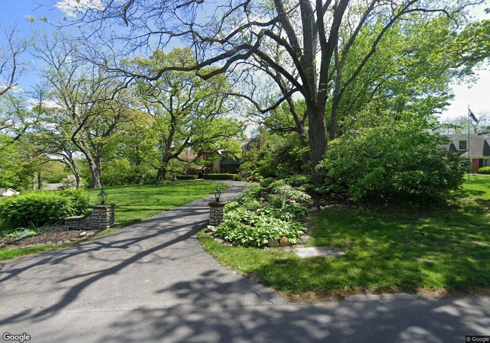
2702 Lovers Ln Saint Joseph, MO 64506
Lovers Lane NeighborhoodEstimated Value: $331,027 - $429,000
Studio
--
Bath
2,609
Sq Ft
$152/Sq Ft
Est. Value
About This Home
This home is located at 2702 Lovers Ln, Saint Joseph, MO 64506 and is currently estimated at $396,257, approximately $151 per square foot. 2702 Lovers Ln is a home located in Buchanan County with nearby schools including Field Elementary School, Bode Middle School, and Central High School.
Ownership History
Date
Name
Owned For
Owner Type
Purchase Details
Closed on
Nov 4, 2019
Sold by
Hausman Brett L and Hausman Aimme S
Bought by
Hausman Brett L and Hausman Trust
Current Estimated Value
Purchase Details
Closed on
May 23, 2014
Sold by
Foley John H and Foley Karen J
Bought by
Hausman Brett L and Hausman Aimee S
Home Financials for this Owner
Home Financials are based on the most recent Mortgage that was taken out on this home.
Original Mortgage
$280,000
Interest Rate
4.38%
Create a Home Valuation Report for This Property
The Home Valuation Report is an in-depth analysis detailing your home's value as well as a comparison with similar homes in the area
Home Values in the Area
Average Home Value in this Area
Purchase History
| Date | Buyer | Sale Price | Title Company |
|---|---|---|---|
| Hausman Brett L | -- | None Available | |
| Hausman Brett L | -- | St Joseph Title & Abstract C |
Source: Public Records
Mortgage History
| Date | Status | Borrower | Loan Amount |
|---|---|---|---|
| Previous Owner | Hausman Brett L | $280,000 |
Source: Public Records
Tax History
| Year | Tax Paid | Tax Assessment Tax Assessment Total Assessment is a certain percentage of the fair market value that is determined by local assessors to be the total taxable value of land and additions on the property. | Land | Improvement |
|---|---|---|---|---|
| 2025 | $2,978 | $41,620 | $5,800 | $35,820 |
| 2024 | $2,781 | $38,880 | $5,800 | $33,080 |
| 2023 | $2,781 | $38,880 | $5,800 | $33,080 |
| 2022 | $2,567 | $38,880 | $5,800 | $33,080 |
| 2021 | $2,578 | $38,880 | $5,800 | $33,080 |
| 2020 | $2,562 | $38,880 | $5,800 | $33,080 |
| 2019 | $2,475 | $38,880 | $5,800 | $33,080 |
| 2018 | $2,234 | $38,880 | $5,800 | $33,080 |
| 2017 | $2,214 | $38,880 | $0 | $0 |
| 2015 | $1 | $38,880 | $0 | $0 |
| 2014 | -- | $38,880 | $0 | $0 |
Source: Public Records
Map
Nearby Homes
- 3413 W Colony Square
- 2610 Parallel Ave
- 2611 Parallel Ave
- 2502 Flintstone Dr
- 3117 Miller Ave
- 2634 Lucille Ave
- 28 Court Ln
- 2324 Goff Ave
- 3309 Westwood Dr
- 2511 Kent St
- 3111 Carlisle Ct
- 3107 Carlisle Ct
- 3109 Carlisle Ct
- 2204 Ashland Ave
- 2110 Ashland Ave
- 2011 Lovers Ln
- 1805 6th Ave
- 1920 N 29th St
- 1717 6th Ave
- 2715 Cook Rd
- 2714 Lovers Ln
- 2808 Whitman Dr
- 2802 Whitman Dr
- 2712 Lovers Ln
- 2818 Whitman Dr
- 2721 Southeast Trail
- 2710 Lovers Ln
- 2645 Lovers Ln
- 2725 Southeast Trail
- 2717 Southeast Trail
- 2807 Whitman Dr
- 2715 Southeast Trail
- 2801 Whitman Dr
- 2706 Lovers Ln
- 2713 Southeast Trail
- 2625 Lovers Ln
- 2815 Whitman Dr
- 2705 Lovers Ln
- 2701 Lovers Ln
- 3308 Colony Square N A
Your Personal Tour Guide
Ask me questions while you tour the home.