Estimated Value: $107,000 - $126,000
Studio
1
Bath
1,924
Sq Ft
$61/Sq Ft
Est. Value
About This Home
This home is located at 2702 McBryant Rd, Pitts, GA 31072 and is currently estimated at $117,663, approximately $61 per square foot. 2702 McBryant Rd is a home located in Wilcox County with nearby schools including Wilcox County Elementary School, Wilcox County Middle School, and Wilcox County High School.
Ownership History
Date
Name
Owned For
Owner Type
Purchase Details
Closed on
Dec 19, 2011
Sold by
Houston Cory
Bought by
Mcdonald Sheila Land
Current Estimated Value
Create a Home Valuation Report for This Property
The Home Valuation Report is an in-depth analysis detailing your home's value as well as a comparison with similar homes in the area
Purchase History
| Date | Buyer | Sale Price | Title Company |
|---|---|---|---|
| Mcdonald Sheila Land | -- | -- |
Source: Public Records
Mortgage History
| Date | Status | Borrower | Loan Amount |
|---|---|---|---|
| Closed | Mcdonald Sheila Land | -- |
Source: Public Records
Tax History
| Year | Tax Paid | Tax Assessment Tax Assessment Total Assessment is a certain percentage of the fair market value that is determined by local assessors to be the total taxable value of land and additions on the property. | Land | Improvement |
|---|---|---|---|---|
| 2025 | $1,209 | $42,071 | $2,090 | $39,981 |
| 2024 | $1,239 | $40,642 | $1,393 | $39,249 |
| 2023 | $1,058 | $34,268 | $1,393 | $32,875 |
| 2022 | $1,059 | $34,268 | $1,393 | $32,875 |
| 2021 | $1,058 | $34,268 | $1,393 | $32,875 |
| 2020 | $793 | $23,794 | $1,720 | $22,074 |
| 2019 | $793 | $23,794 | $1,720 | $22,074 |
| 2018 | $793 | $23,794 | $1,720 | $22,074 |
| 2017 | $758 | $22,728 | $1,720 | $21,008 |
| 2016 | -- | $22,728 | $1,720 | $21,008 |
| 2015 | -- | $22,728 | $1,720 | $21,008 |
| 2014 | -- | $22,728 | $1,720 | $21,008 |
| 2013 | -- | $22,728 | $1,720 | $21,008 |
Source: Public Records
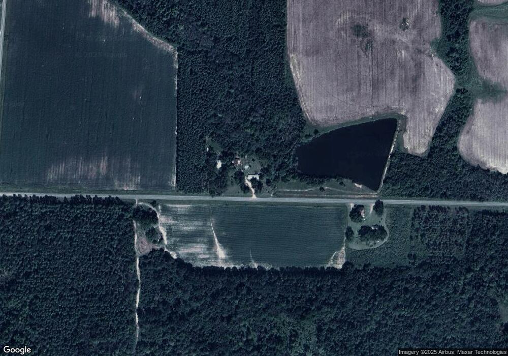
Map
Nearby Homes
- 0 Powell Rd
- 127 Powell Rd
- 0 Powell Rd Tract 1 Rd
- 0 Powell Rd Tract 2 Unit 24959
- 0 Powell Rd Tract 2 Unit 10678971
- 000 Brady Rd
- 800 Listonia Rd
- 0 Lois Rd
- 846 Hawpond Rd
- 2453 Georgia 90
- Griffin Rd
- 854 Rockhouse Rd E
- 1806 Georgia 90
- 114 Brier Patch Rd
- 501 Cottonwood Rd
- 293 Wildwood Dr
- 2288 Williford Rd
- 160 Old Nesbitt Rd
- 0 Old Nesbitt Rd
- 0 Aberdeen Circle Lt# 28
Your Personal Tour Guide
Ask me questions while you tour the home.