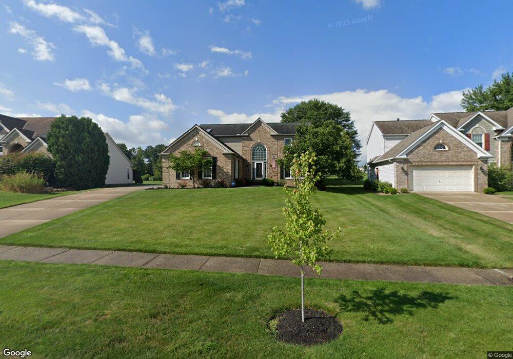
2702 Myrick Ln Twinsburg, OH 44087
Estimated Value: $412,000 - $528,000
4
Beds
3
Baths
2,866
Sq Ft
$166/Sq Ft
Est. Value
About This Home
This home is located at 2702 Myrick Ln, Twinsburg, OH 44087 and is currently estimated at $476,218, approximately $166 per square foot. 2702 Myrick Ln is a home located in Summit County with nearby schools including Wilcox Primary School, Samuel Bissell Elementary School, and Dodge Intermediate School.
Ownership History
Date
Name
Owned For
Owner Type
Purchase Details
Closed on
Feb 25, 2025
Sold by
Nees Paul and Anderson Debra
Bought by
Nees Anderson Trust and Nees
Current Estimated Value
Purchase Details
Closed on
Mar 2, 2009
Sold by
American Home Mortgage Servicing Inc
Bought by
Anderson Debra and Nees Paul
Purchase Details
Closed on
Jan 12, 2009
Sold by
Riffe Daniel and Riffe Daniel N
Bought by
American Home Mortgage Servicing Inc
Purchase Details
Closed on
Aug 29, 1997
Sold by
Cooke David G
Bought by
Riffe Daniel N
Home Financials for this Owner
Home Financials are based on the most recent Mortgage that was taken out on this home.
Original Mortgage
$234,400
Interest Rate
5.45%
Mortgage Type
New Conventional
Create a Home Valuation Report for This Property
The Home Valuation Report is an in-depth analysis detailing your home's value as well as a comparison with similar homes in the area
Home Values in the Area
Average Home Value in this Area
Purchase History
| Date | Buyer | Sale Price | Title Company |
|---|---|---|---|
| Nees Anderson Trust | -- | None Listed On Document | |
| Anderson Debra | $175,000 | Accutitle Agency Inc | |
| American Home Mortgage Servicing Inc | $184,000 | Attorney | |
| Riffe Daniel N | $293,000 | -- |
Source: Public Records
Mortgage History
| Date | Status | Borrower | Loan Amount |
|---|---|---|---|
| Previous Owner | Riffe Daniel N | $234,400 |
Source: Public Records
Tax History Compared to Growth
Tax History
| Year | Tax Paid | Tax Assessment Tax Assessment Total Assessment is a certain percentage of the fair market value that is determined by local assessors to be the total taxable value of land and additions on the property. | Land | Improvement |
|---|---|---|---|---|
| 2025 | $6,773 | $140,711 | $24,119 | $116,592 |
| 2024 | $6,773 | $140,711 | $24,119 | $116,592 |
| 2023 | $6,773 | $140,711 | $24,119 | $116,592 |
| 2022 | $5,907 | $109,452 | $18,697 | $90,755 |
| 2021 | $5,935 | $109,452 | $18,697 | $90,755 |
| 2020 | $5,998 | $109,460 | $18,700 | $90,760 |
| 2019 | $5,950 | $101,490 | $18,700 | $82,790 |
| 2018 | $5,836 | $101,490 | $18,700 | $82,790 |
| 2017 | $4,943 | $101,490 | $18,700 | $82,790 |
| 2016 | $4,913 | $91,470 | $18,700 | $72,770 |
| 2015 | $4,943 | $91,470 | $18,700 | $72,770 |
| 2014 | $4,933 | $91,470 | $18,700 | $72,770 |
| 2013 | $4,905 | $91,040 | $18,700 | $72,340 |
Source: Public Records
Map
Nearby Homes
- 2668 Walton Blvd
- 10169 Timothy Ln
- 2923 Alling Dr
- 2978 Framingham Ln
- 2590 Post Rd
- 10085 Glen Eagle Ln Unit 35AG
- 9740 Burton Dr
- 2825 Veron Ln
- 10502 White Ash Trail
- 9933 Cynthia Dr
- 10393 N Pond Ln
- 3110 Blue Jaye Ln
- 10375 W Cobblestone Ln Unit 2
- 3331 Shale Dr
- 34105 Blue Heron Dr
- 9545 Windsor Way
- 10132 Scenic View Dr
- 3320 Blossom Trail
- 3336 Blossom Trail
- 12162 Waywood Dr