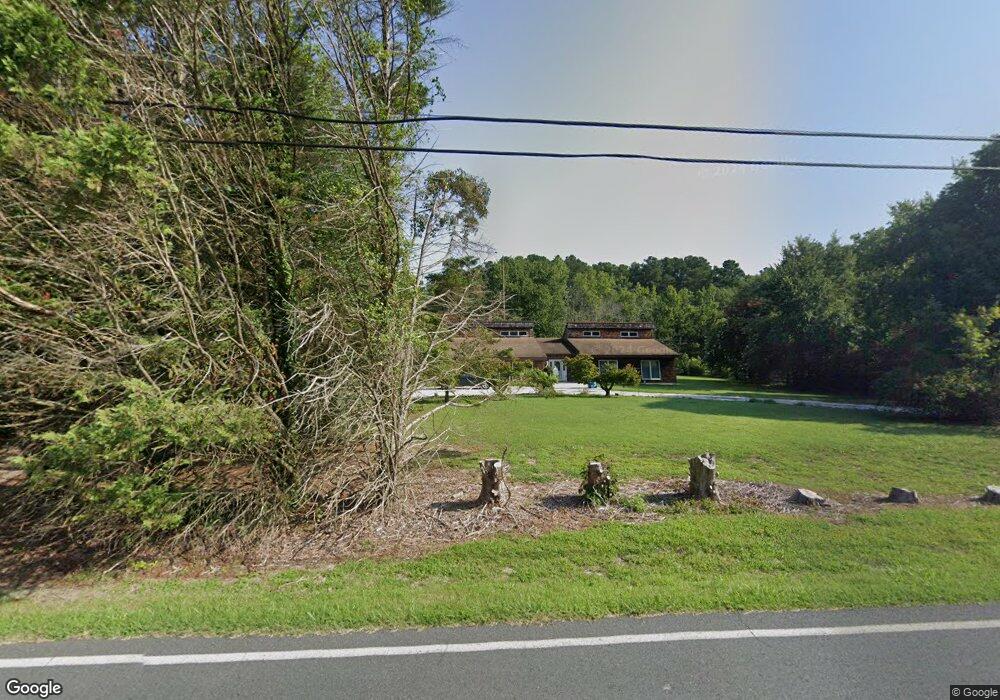
27020 Riverside Drive Extension Salisbury, MD 21801
South Salisbury NeighborhoodEstimated Value: $439,000 - $559,000
--
Bed
2
Baths
2,928
Sq Ft
$170/Sq Ft
Est. Value
About This Home
This home is located at 27020 Riverside Drive Extension, Salisbury, MD 21801 and is currently estimated at $498,100, approximately $170 per square foot. 27020 Riverside Drive Extension is a home located in Wicomico County with nearby schools including Fruitland Primary School, Fruitland Intermediate School, and Bennett Middle School.
Ownership History
Date
Name
Owned For
Owner Type
Purchase Details
Closed on
May 31, 1979
Sold by
Marble James P
Bought by
Jones Hartzell S and Jones Jones
Current Estimated Value
Home Financials for this Owner
Home Financials are based on the most recent Mortgage that was taken out on this home.
Original Mortgage
$8,900
Interest Rate
10.75%
Create a Home Valuation Report for This Property
The Home Valuation Report is an in-depth analysis detailing your home's value as well as a comparison with similar homes in the area
Home Values in the Area
Average Home Value in this Area
Purchase History
| Date | Buyer | Sale Price | Title Company |
|---|---|---|---|
| Jones Hartzell S | $8,500 | -- |
Source: Public Records
Mortgage History
| Date | Status | Borrower | Loan Amount |
|---|---|---|---|
| Closed | Jones Hartzell S | $8,900 |
Source: Public Records
Tax History Compared to Growth
Tax History
| Year | Tax Paid | Tax Assessment Tax Assessment Total Assessment is a certain percentage of the fair market value that is determined by local assessors to be the total taxable value of land and additions on the property. | Land | Improvement |
|---|---|---|---|---|
| 2025 | $3,011 | $334,633 | $0 | $0 |
| 2024 | $3,011 | $307,800 | $39,000 | $268,800 |
| 2023 | $2,899 | $287,200 | $0 | $0 |
| 2022 | $2,777 | $266,600 | $0 | $0 |
| 2021 | $2,547 | $246,000 | $39,000 | $207,000 |
| 2020 | $2,547 | $241,100 | $0 | $0 |
| 2019 | $2,532 | $236,200 | $0 | $0 |
| 2018 | $2,493 | $231,300 | $39,000 | $192,300 |
| 2017 | $2,299 | $212,867 | $0 | $0 |
| 2016 | -- | $194,433 | $0 | $0 |
| 2015 | $1,729 | $176,000 | $0 | $0 |
| 2014 | $1,729 | $176,000 | $0 | $0 |
Source: Public Records
Map
Nearby Homes
- 5437 Nithsdale Dr
- 5079 Old Mill Branch Rd
- 4916 Old Mill Branch Rd
- 5461 Loch Ness Terrace
- 5474 Royal Mile Blvd
- 5088 Sailfish Dr
- 5541 E Nithsdale Dr
- 5703 Royal Mile Blvd
- 0 King Stuart Dr Unit MDWC2018516
- 5709 Royal Mile Blvd
- 5686 N Nithsdale Dr Unit N
- 5006 Ladys Ct
- 27336 Walnut Tree Rd
- 5688 Kirkpatrick Ct
- 27671 Riverside Drive Extension
- 26694 Pemberton Dr
- 27728 Riverside Drive Extension
- 26298 High Banks Dr
- 26882 Pratt Rd
- 5973 Smithys Ln
- 27020 Riverside Drive Extension
- 27020 Riverside Drive Extension
- 27036 Riverside Drive Extension
- 27046 Riverside Drive Extension
- 27046 Riverside Drive Extension
- 27000 Riverside Drive Extension
- 26979 Riverside Drive Extension
- 27041 Riverside Drive Extension
- 27037 Riverside Drive Extension
- 27037 Riverside Drive Extension
- 26924 Riverside Drive Extension
- 26951 Siloam Rd
- 26954 Siloam Rd
- 27050 Riverside Drive Extension
- 27050 Riverside Drive Extension
- 27098 Riverside Drive Extension
- 26947 Siloam Rd
- 5051 Stock Creek Ln
- Siloam Rd
- 5054 Stock Creek Ln