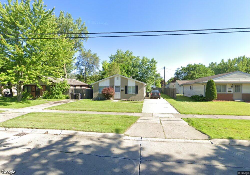
27022 Joan St Taylor, MI 48180
Estimated Value: $139,182 - $158,000
3
Beds
1
Bath
988
Sq Ft
$152/Sq Ft
Est. Value
About This Home
This home is located at 27022 Joan St, Taylor, MI 48180 and is currently estimated at $150,296, approximately $152 per square foot. 27022 Joan St is a home located in Wayne County with nearby schools including Holland Elementary School, Hoover Middle School, and Taylor High School.
Ownership History
Date
Name
Owned For
Owner Type
Purchase Details
Closed on
Apr 17, 2009
Sold by
Secretary Of Housing & Urban Development
Bought by
Guardado Maria
Current Estimated Value
Purchase Details
Closed on
Jun 6, 2007
Sold by
Chase Home Finance Llc
Bought by
Hud
Purchase Details
Closed on
May 10, 2006
Sold by
Kermans James C and Kermans Robin Liann
Bought by
Chase Home Finance Llc
Purchase Details
Closed on
Jan 19, 1999
Sold by
Mazat Gerd
Bought by
Kermans James C
Purchase Details
Closed on
Sep 28, 1995
Sold by
Kerman James C and Kerman Robin L
Bought by
Kermans James C and Kermans Robin L
Create a Home Valuation Report for This Property
The Home Valuation Report is an in-depth analysis detailing your home's value as well as a comparison with similar homes in the area
Home Values in the Area
Average Home Value in this Area
Purchase History
| Date | Buyer | Sale Price | Title Company |
|---|---|---|---|
| Guardado Maria | $7,500 | None Available | |
| Hud | -- | None Available | |
| Chase Home Finance Llc | $62,186 | None Available | |
| Kermans James C | $39,000 | -- | |
| Kermans James C | -- | -- |
Source: Public Records
Tax History Compared to Growth
Tax History
| Year | Tax Paid | Tax Assessment Tax Assessment Total Assessment is a certain percentage of the fair market value that is determined by local assessors to be the total taxable value of land and additions on the property. | Land | Improvement |
|---|---|---|---|---|
| 2025 | $1,613 | $56,500 | $0 | $0 |
| 2024 | $1,613 | $50,500 | $0 | $0 |
| 2023 | $1,916 | $47,000 | $0 | $0 |
| 2022 | $1,517 | $39,800 | $0 | $0 |
| 2021 | $1,710 | $33,100 | $0 | $0 |
| 2020 | $1,692 | $28,200 | $0 | $0 |
| 2019 | $168,092 | $31,200 | $0 | $0 |
| 2018 | $1,332 | $23,500 | $0 | $0 |
| 2017 | $721 | $23,900 | $0 | $0 |
| 2016 | $1,672 | $23,200 | $0 | $0 |
| 2015 | $2,113 | $22,100 | $0 | $0 |
| 2013 | $2,100 | $21,700 | $0 | $0 |
| 2012 | $1,510 | $23,600 | $7,600 | $16,000 |
Source: Public Records
Map
Nearby Homes
- 6368 Hazel St
- 6211 Inkster Rd
- 6221 Inkster Rd
- 6107 John Daly St
- 5970 John Daly St
- 5993 John Daly St
- 6370 Hampden St
- 6303 Duncan St
- 6319 Duncan St
- 6075 Duncan St
- 5526 Sylvia St
- 26215 Beverly Rd
- 6179 Fellrath St
- 6338 Marvin St
- 26532 Powers Ave
- 27620 Newcastle St
- 5961 Marvin St
- 27523 Powers St
- 0 Ecorse Service Rd
- 6363 Mcguire St