2703 Catherine Ln Dawson, GA 39842
Estimated Value: $247,000 - $354,855
--
Bed
2
Baths
1,916
Sq Ft
$162/Sq Ft
Est. Value
About This Home
This home is located at 2703 Catherine Ln, Dawson, GA 39842 and is currently estimated at $310,952, approximately $162 per square foot. 2703 Catherine Ln is a home with nearby schools including Cooper-Carver Elementary School, Terrell Middle School, and Terrell High School.
Ownership History
Date
Name
Owned For
Owner Type
Purchase Details
Closed on
Apr 25, 2006
Sold by
West Joseph M
Bought by
Marshall Thomas J and Marshall Cindy L
Current Estimated Value
Home Financials for this Owner
Home Financials are based on the most recent Mortgage that was taken out on this home.
Original Mortgage
$60,291
Interest Rate
6.33%
Mortgage Type
New Conventional
Create a Home Valuation Report for This Property
The Home Valuation Report is an in-depth analysis detailing your home's value as well as a comparison with similar homes in the area
Home Values in the Area
Average Home Value in this Area
Purchase History
| Date | Buyer | Sale Price | Title Company |
|---|---|---|---|
| Marshall Thomas J | $73,600 | -- |
Source: Public Records
Mortgage History
| Date | Status | Borrower | Loan Amount |
|---|---|---|---|
| Closed | Marshall Thomas J | $60,291 |
Source: Public Records
Tax History Compared to Growth
Tax History
| Year | Tax Paid | Tax Assessment Tax Assessment Total Assessment is a certain percentage of the fair market value that is determined by local assessors to be the total taxable value of land and additions on the property. | Land | Improvement |
|---|---|---|---|---|
| 2024 | $2,903 | $87,156 | $20,113 | $67,043 |
| 2023 | $2,700 | $87,156 | $20,113 | $67,043 |
| 2022 | $2,700 | $87,156 | $20,113 | $67,043 |
| 2021 | $2,700 | $87,156 | $20,113 | $67,043 |
| 2020 | $2,700 | $87,156 | $20,113 | $67,043 |
| 2019 | $2,613 | $87,156 | $20,113 | $67,043 |
| 2018 | $2,613 | $87,156 | $20,113 | $67,043 |
| 2017 | $2,613 | $87,156 | $20,113 | $67,043 |
| 2016 | $2,613 | $87,156 | $20,113 | $67,043 |
| 2015 | -- | $87,156 | $20,113 | $67,043 |
| 2014 | -- | $87,156 | $20,113 | $67,043 |
| 2013 | -- | $87,156 | $20,113 | $67,042 |
Source: Public Records
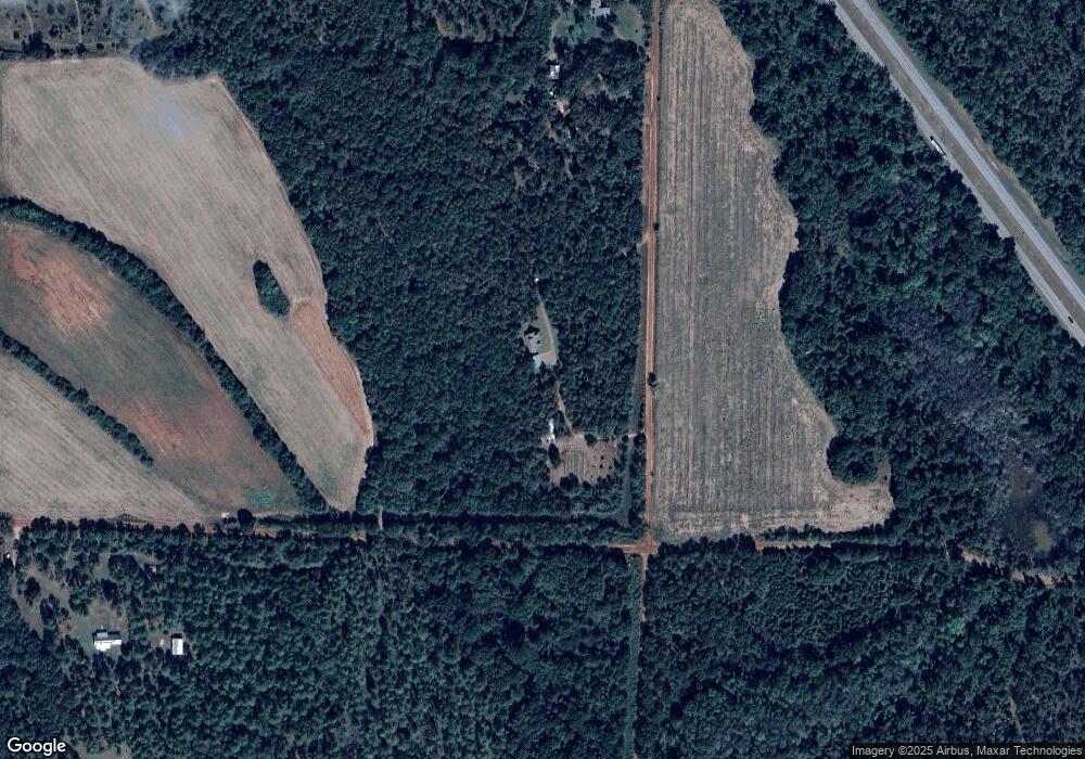
Map
Nearby Homes
- 161 College St
- 109 Main St
- 0 Main St
- 318 Church St
- 540 Veneys Mill Pond Rd
- 151 College St NE
- 1853 Warner Rd
- 2373 Moncus Rd
- 6310 Georgia 520
- 1075 Cox Rd
- 448 Henry Mitchell Dr NE
- 3176 E Centerpoint Rd
- 2055 Payne Pond Rd
- 1071 Cox Rd
- 4560 Graves Hwy
- 434 Foster Ave
- 3947 Americus Hwy
- 904 Ash St NE
- 361/552 NW Tenth Ave
- 527 Orange St NE
- 0000 Pinkston Rd
- 2881 Catherine Ln
- 709 Pinkston Rd
- 1031 Powell Rd
- 534 Powell Rd
- 160 Kennedy Pond Rd
- 287 S Parrott St
- 301 Oak St SW
- 227 Kennedy Pond Rd
- 282 Oak St SW
- 295 Oak St SW
- LOT 2 Wilbur Gamble Rd
- 379 Kennedy Pond Rd
- 379 Kennedy Pond Rd
- 162 College St SW
- 444 Kennedy Pond Rd
- 243 Oak St SW
- 148 College St SW
- 525 King St
- 245 Church St NE