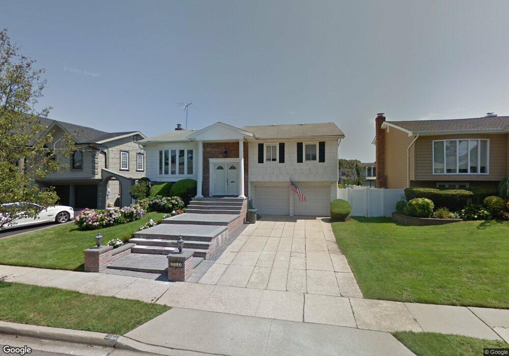
2703 Covered Bridge Rd Merrick, NY 11566
Estimated Value: $979,358 - $999,000
5
Beds
3
Baths
1,505
Sq Ft
$657/Sq Ft
Est. Value
About This Home
This home is located at 2703 Covered Bridge Rd, Merrick, NY 11566 and is currently estimated at $989,179, approximately $657 per square foot. 2703 Covered Bridge Rd is a home located in Nassau County with nearby schools including Merrick Avenue Middle School, John F. Kennedy High School, and Grace Christian Academy.
Ownership History
Date
Name
Owned For
Owner Type
Purchase Details
Closed on
Jun 14, 2013
Sold by
Kravitz Stephan Gary and Kravitz Joi Jeske
Bought by
Vendittelli Maurizio and Facio Lince Vanessa
Current Estimated Value
Home Financials for this Owner
Home Financials are based on the most recent Mortgage that was taken out on this home.
Original Mortgage
$382,400
Outstanding Balance
$272,259
Interest Rate
3.51%
Estimated Equity
$716,920
Create a Home Valuation Report for This Property
The Home Valuation Report is an in-depth analysis detailing your home's value as well as a comparison with similar homes in the area
Home Values in the Area
Average Home Value in this Area
Purchase History
| Date | Buyer | Sale Price | Title Company |
|---|---|---|---|
| Vendittelli Maurizio | $478,000 | -- |
Source: Public Records
Mortgage History
| Date | Status | Borrower | Loan Amount |
|---|---|---|---|
| Open | Vendittelli Maurizio | $382,400 |
Source: Public Records
Tax History
| Year | Tax Paid | Tax Assessment Tax Assessment Total Assessment is a certain percentage of the fair market value that is determined by local assessors to be the total taxable value of land and additions on the property. | Land | Improvement |
|---|---|---|---|---|
| 2025 | $16,846 | $591 | $227 | $364 |
| 2024 | $4,081 | $600 | $230 | $370 |
Source: Public Records
Map
Nearby Homes
- 2688 Rosebud Ave
- 48 Rosebud Ave
- 60 Montauk Ave
- 2848 Clubhouse Rd
- 1903 George Ct
- 212 Babylon Turnpike
- 2729 Shore Dr
- 174 Babylon Turnpike
- 1945 Byron Rd
- 1763 E Berkshire Rd
- 1864 Cynthia Ln
- 2415 Babylon Turnpike
- 2970 Bond Dr
- 1993 Lowell Ln
- 1841 Stanley Dr
- 2988 Bond Dr
- 2538 Bradley Ct
- 131 Gregory Ave
- 2819 Harbor Rd
- 2994 Lonni Ln
- 2709 Covered Bridge Rd
- 2697 Covered Bridge Rd
- 2688 Riverside Ave
- 2682 Riverside Ave
- 2715 Covered Bridge Rd
- 2691 Covered Bridge Rd
- 2692 Riverside Ave
- 2678 Riverside Ave
- 2702 Covered Bridge Rd
- 2708 Covered Bridge Rd
- 2696 Covered Bridge Rd
- 2698 Riverside Ave
- 2672 Riverside Ave
- 2714 Covered Bridge Rd
- 2685 Covered Bridge Rd
- 2690 Covered Bridge Rd
- 74 Riverside Ave
- 2702 Riverside Ave
- 2720 Covered Bridge Rd
- 2679 Covered Bridge Rd